NOAA Tidal Stations
Find NOAA water levels, tide predictions, temperatures, and current observations from coastal stations.
3,443
Total Stations
38
States/Territories
2,461
With Tide Predictions
193
With Water Temp
Map view
Coastal stations at a glance
Open a station to see which NOAA observations and predictions are available.
Interactive coastal map
Loads as you reach this section.
Directory results
Tidal stations
Availability badges show the observations each source station provides.
South Carolina 24 stations
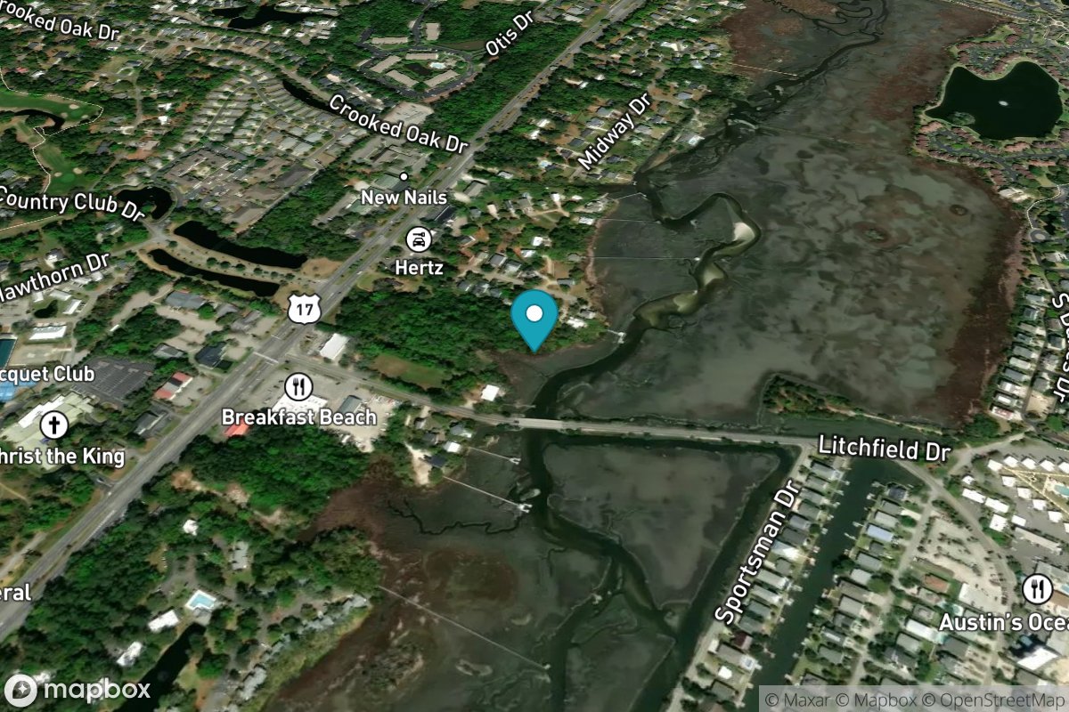
Litchfield Beach bridge
Tide Predictions
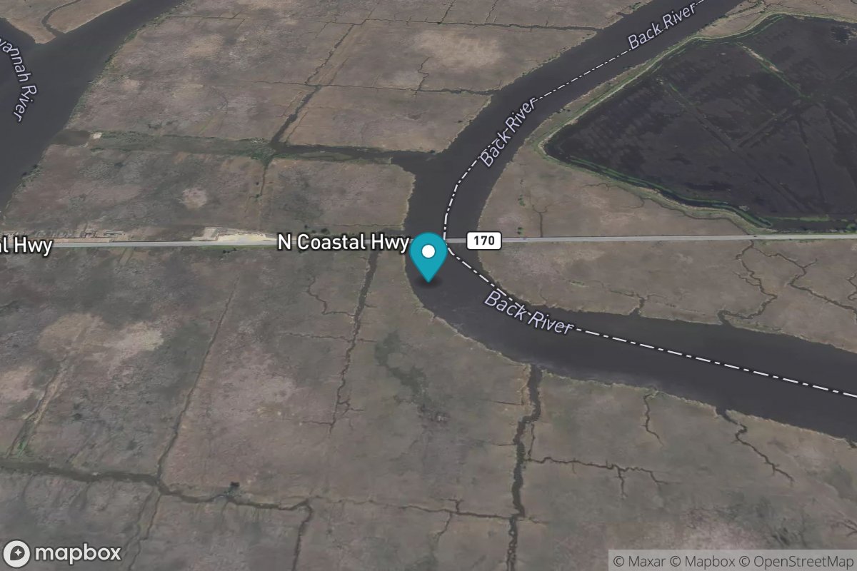
Little Back River, Hwy. 17, Back River, S.C.
Tide Predictions
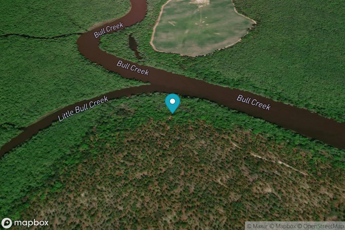
Little Bull Creek entrance, Bull Creek
Tide Predictions
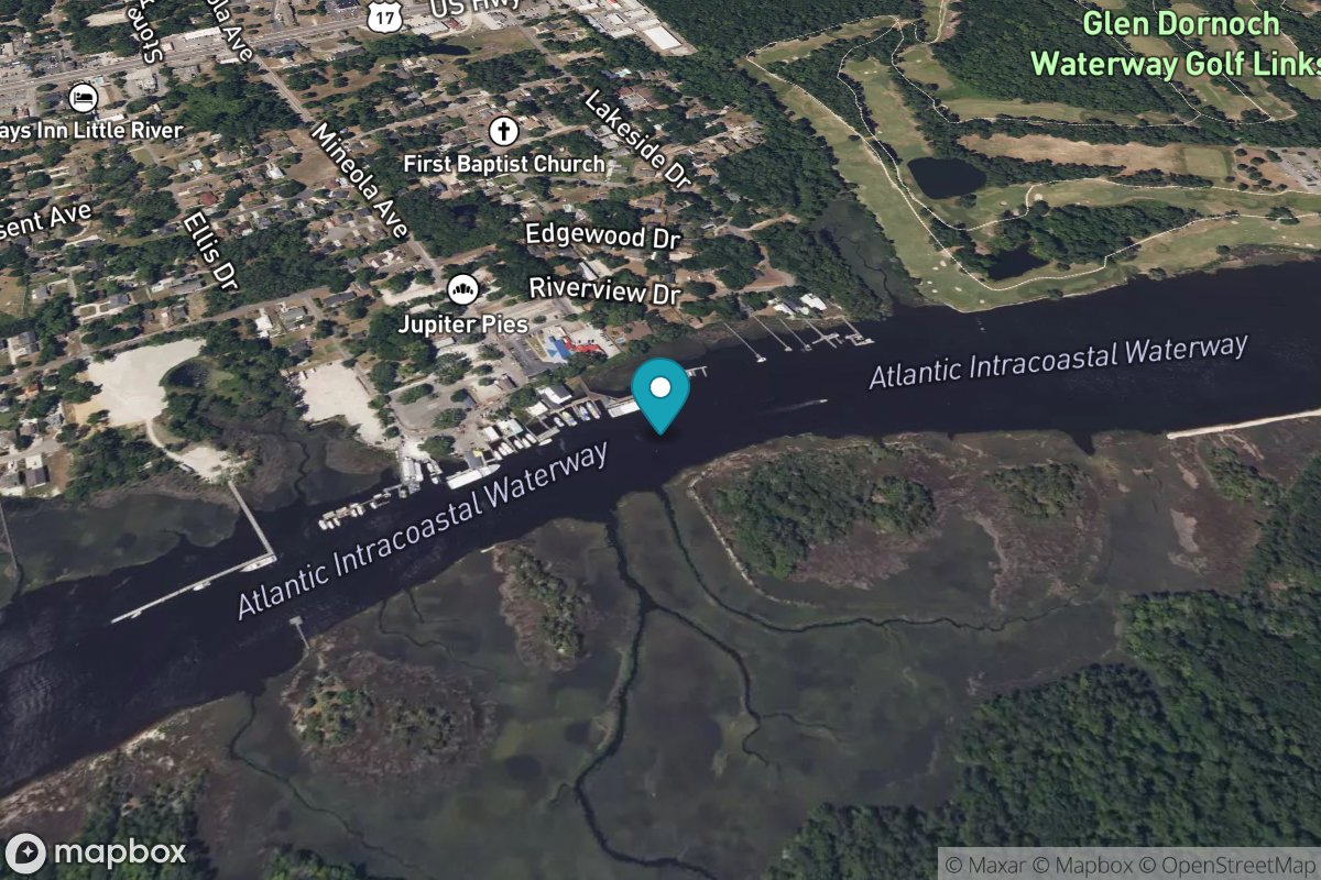
Little River (town)
Tide Predictions
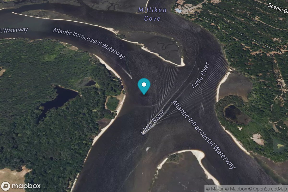
Little River Neck, north end
Tide Predictions
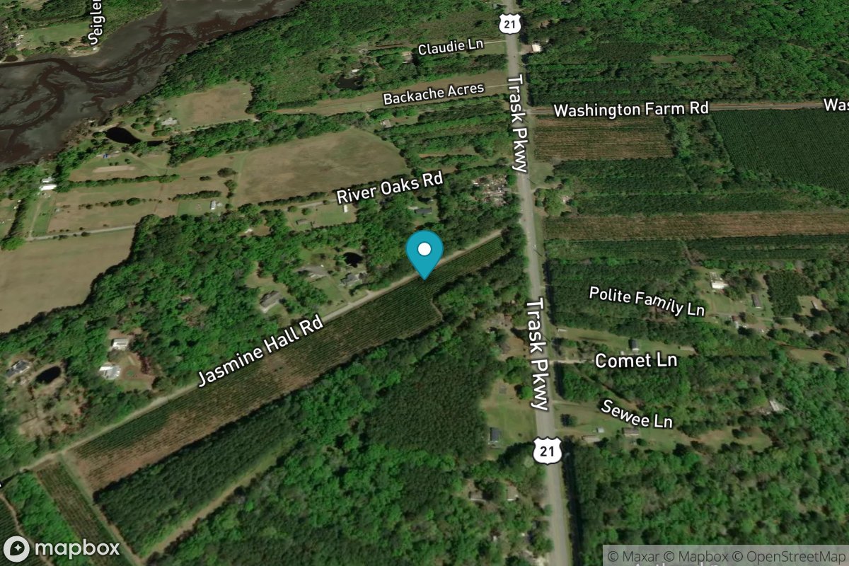
Lobeco, Whale Branch
Tide Predictions
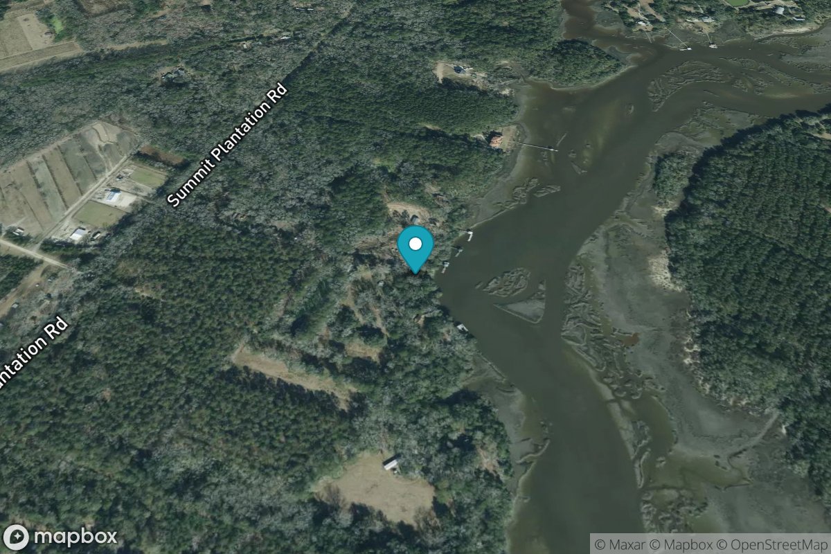
Lower Toogoodoo Creek, 2 mi. above entrance
Tide Predictions
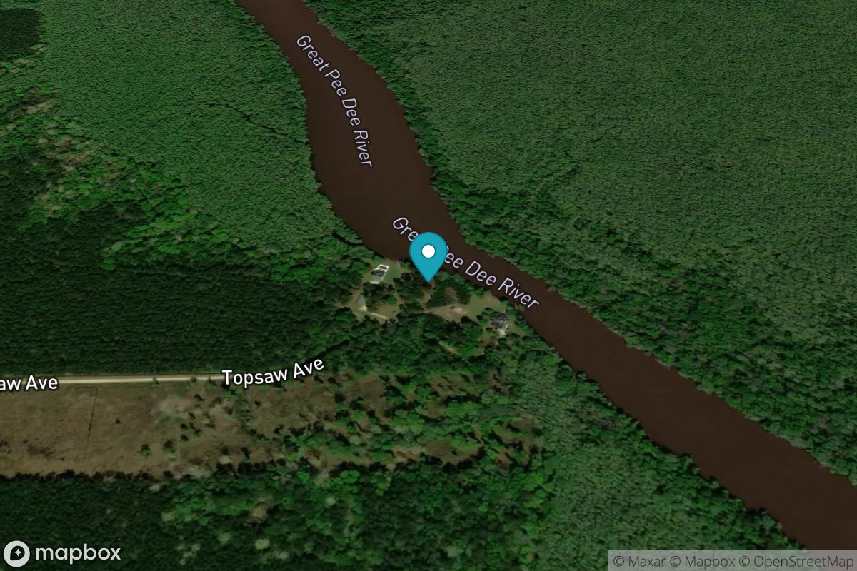
Lower Topsaw Landing
Tide Predictions
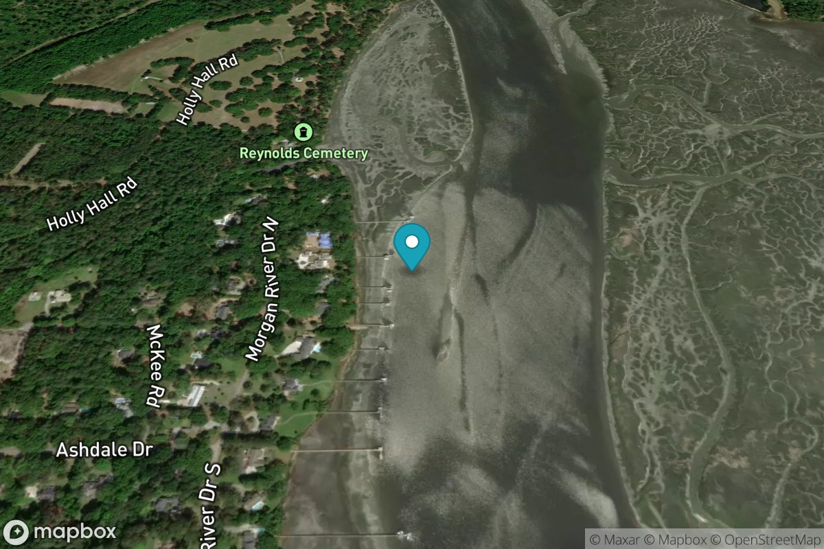
Lucy Point Creek entrance
Tide Predictions
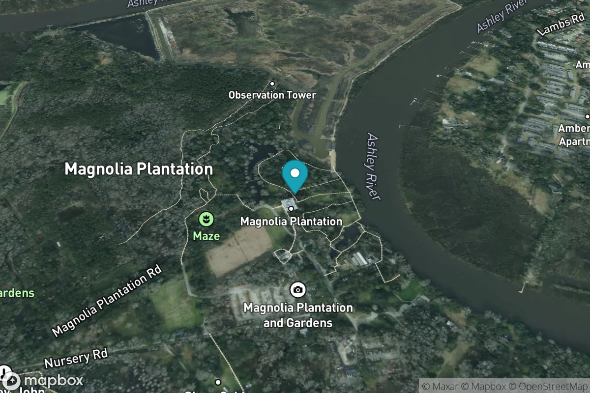
Magnolia Gardens
Tide Predictions
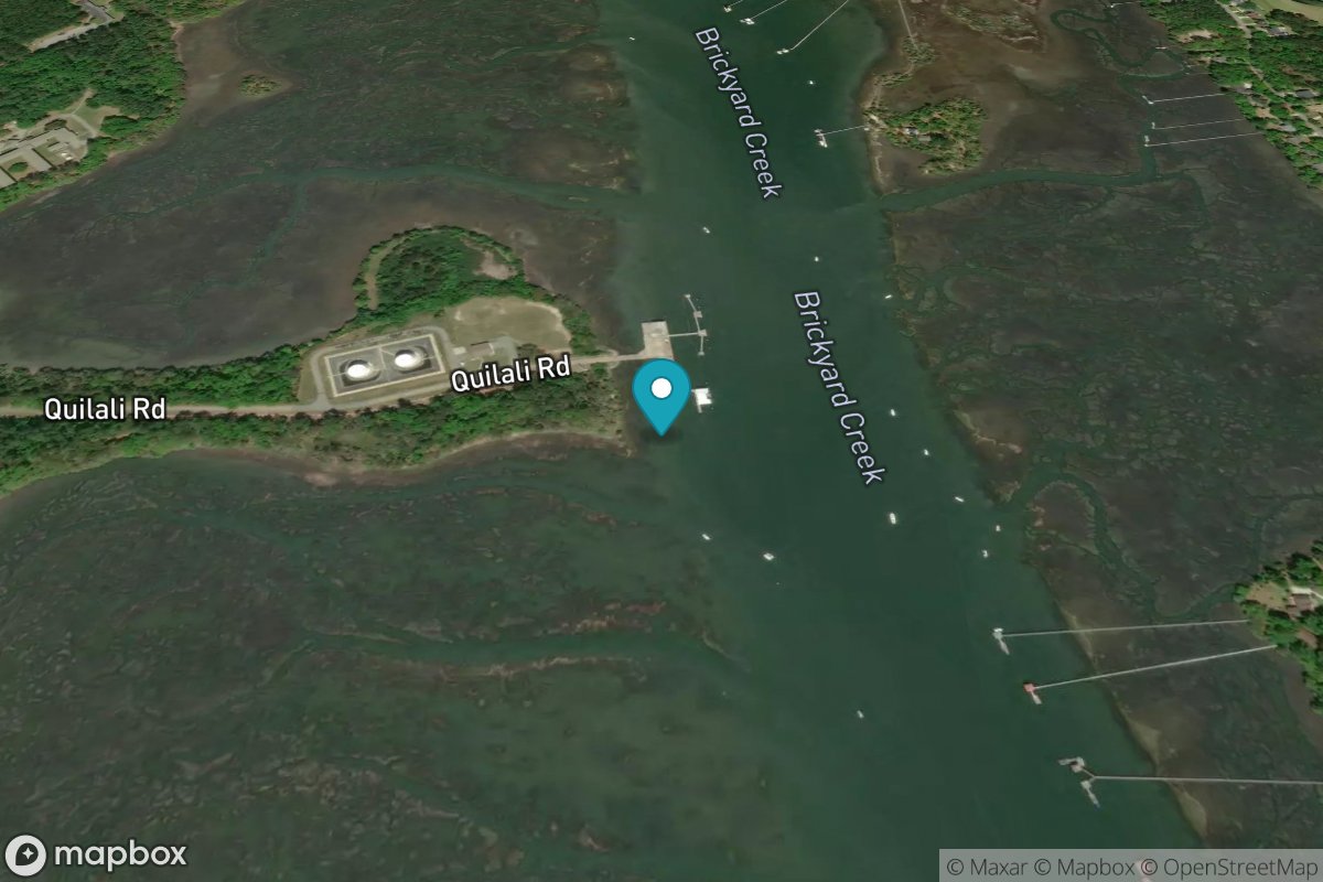
Marine Corps Air Station, Brickyard Creek
Tide Predictions
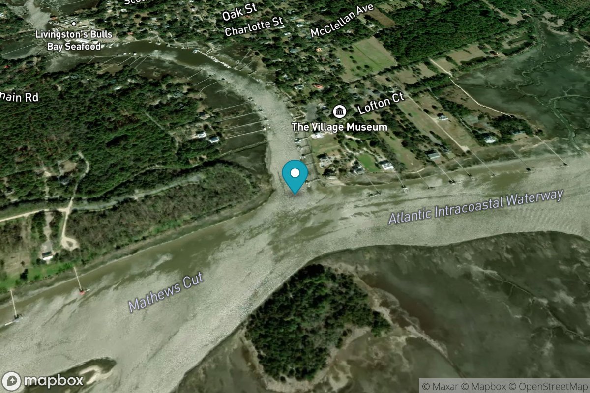
McClellanville, Jeremy Creek
Tide Predictions
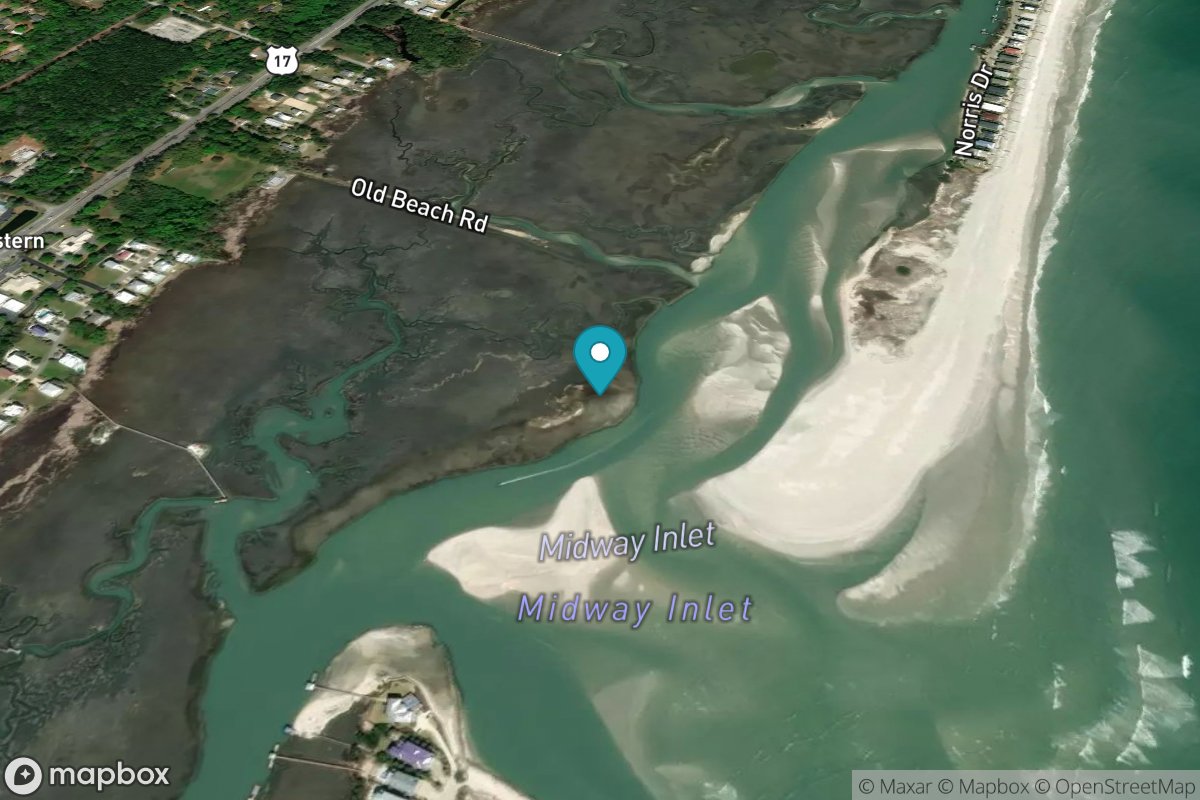
Midway Inlet North, Pawleys Island
Tide Predictions
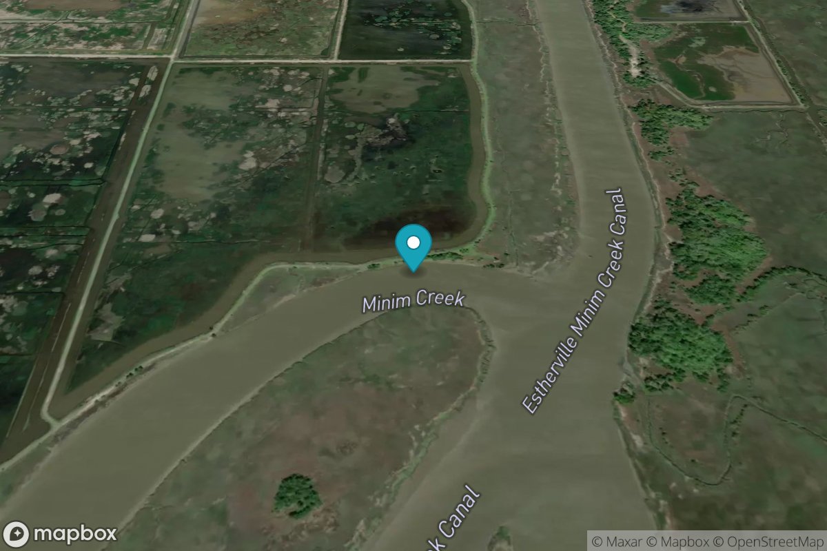
Minim Creek ent., ICWW, North Santee Bay
Tide Predictions
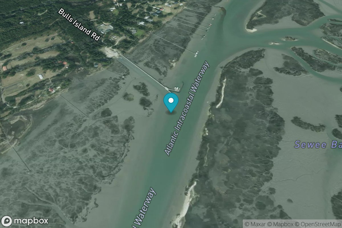
Moores Landing, ICWW, Sewee Bay
Tide Predictions
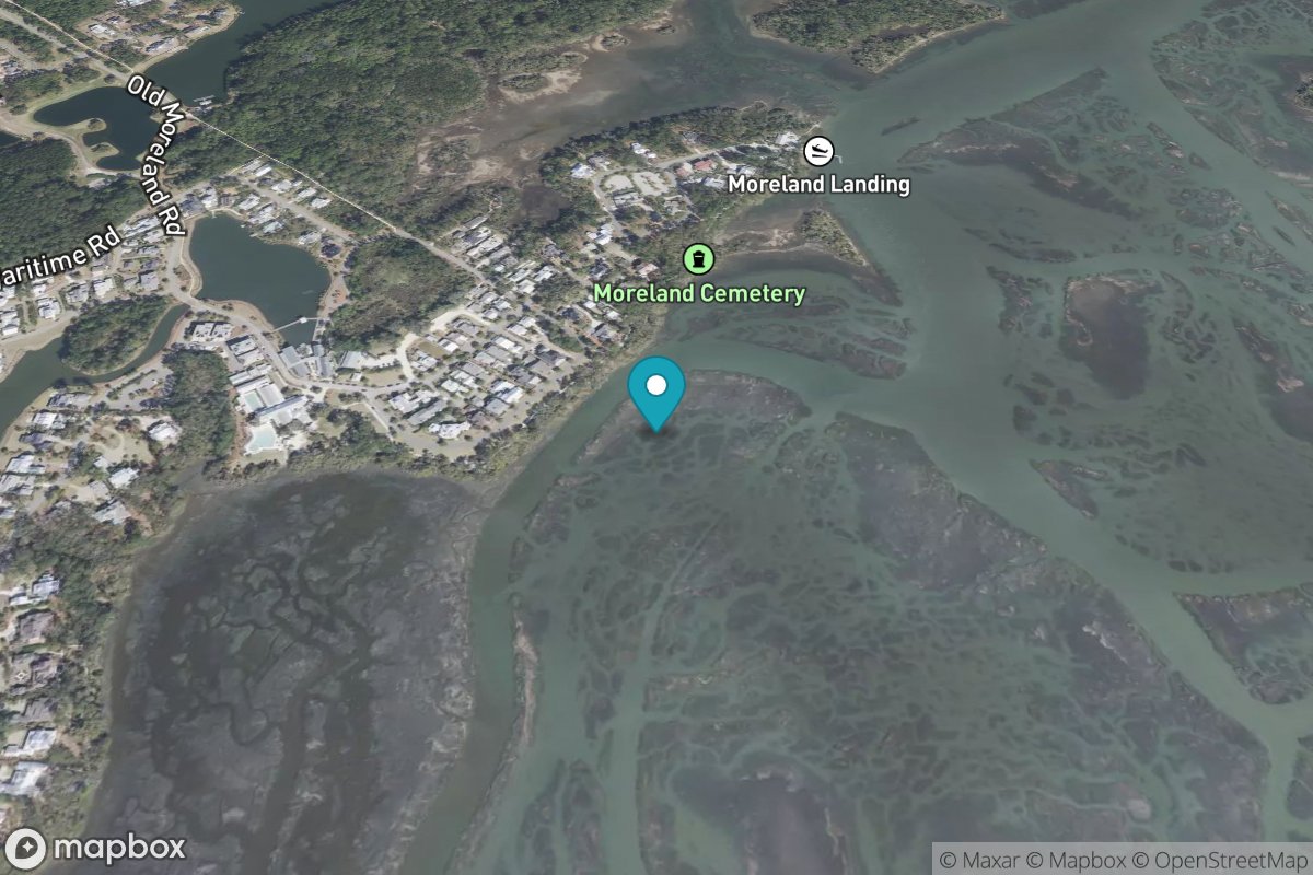
Moreland Cemetery
Tide Predictions
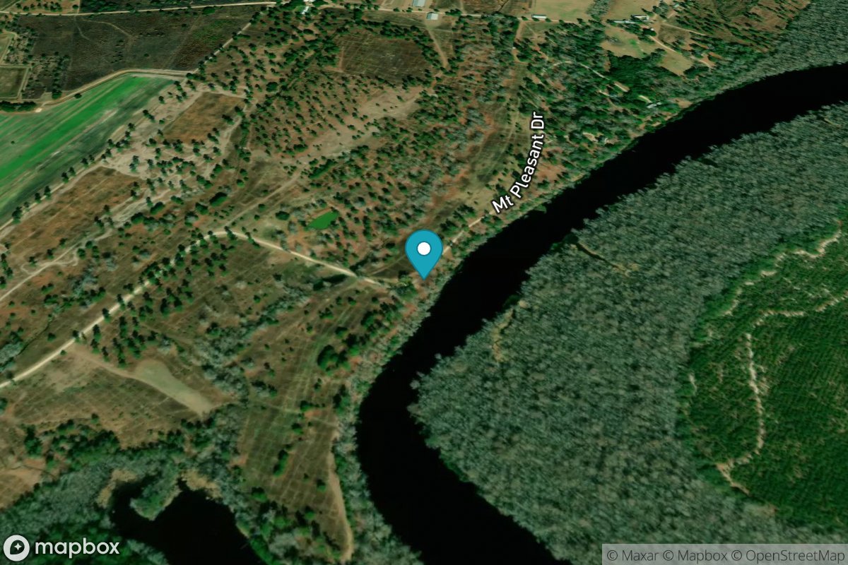
Mt. Pleasant Plantation, Black River
Tide Predictions
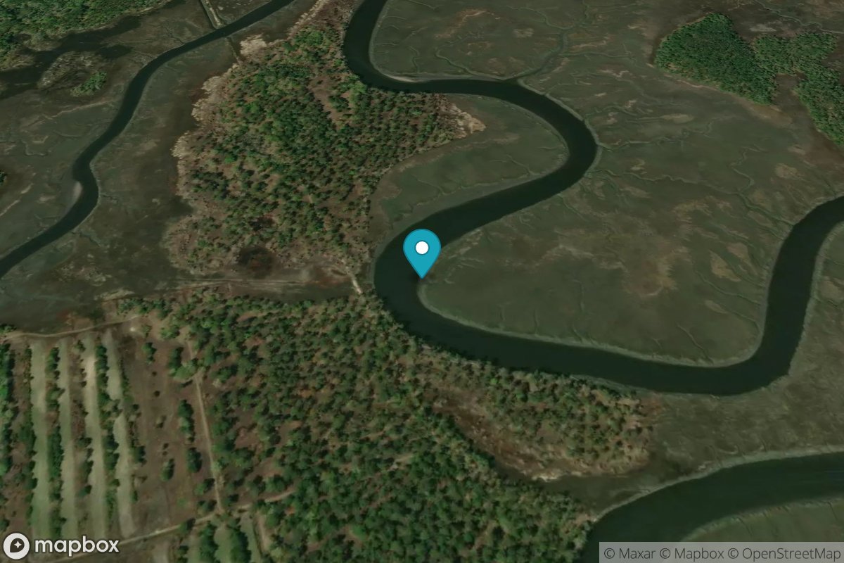
Musselboro Island, Mosquito Creek
Tide Predictions
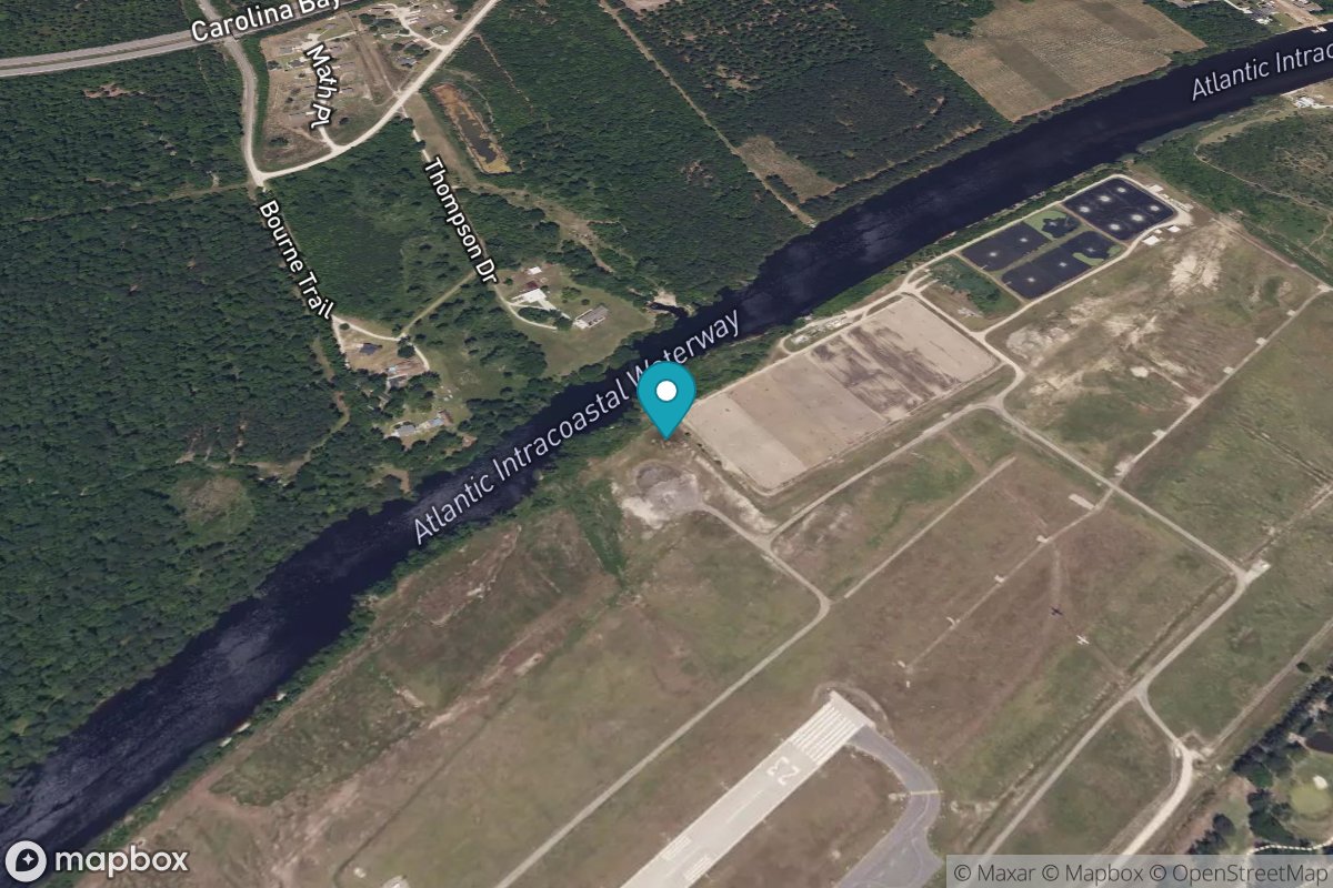
Myrtle Beach Airport
Tide Predictions
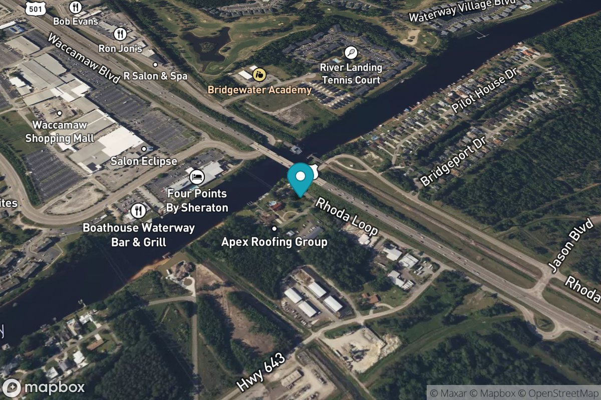
Myrtle Beach, Combination Bridge
Tide Predictions
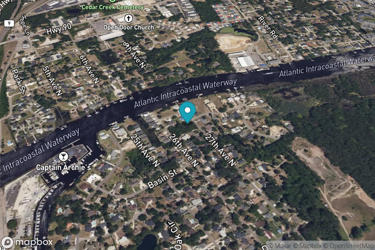
Nixon Crossroads
Tide Predictions
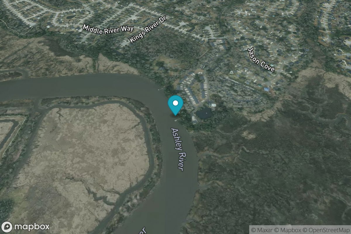
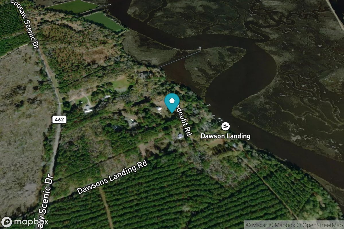
North Dawson Landing, Coosawhatchie River
Tide Predictions
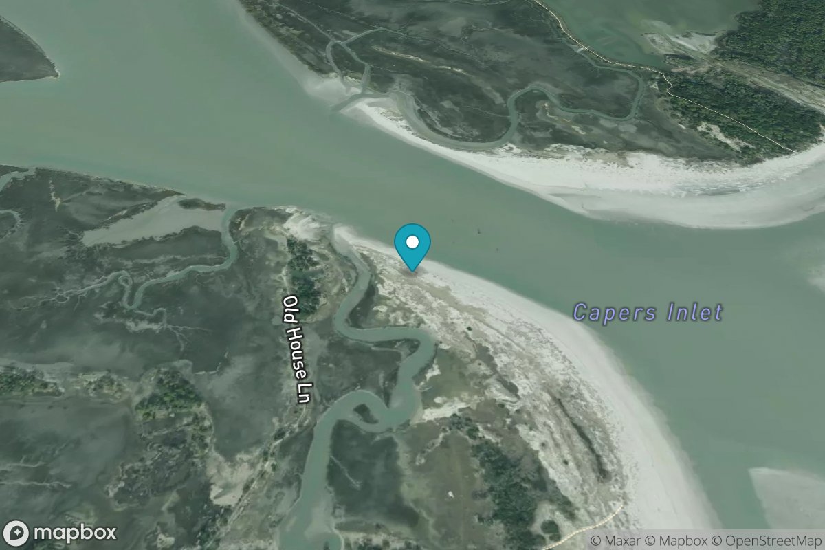
North Dewees Island, Capers Inlet
Tide Predictions