NOAA Tidal Stations in Alabama
Find NOAA water levels, tide predictions, temperatures, and current observations from coastal stations.
23
Total Stations
1
States/Territories
12
With Tide Predictions
3
With Water Temp
Map view
Coastal stations at a glance
Open a station to see which NOAA observations and predictions are available.
Interactive coastal map
Loads as you reach this section.
Directory results
Tidal stations
Availability badges show the observations each source station provides.
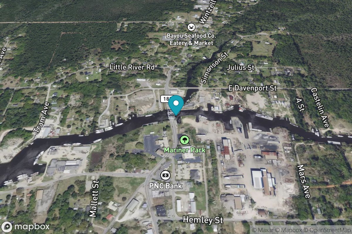
Bayou La Batre Bridge
Tide Predictions
Bayou La Batre, Mississippi Sound
Tide Predictions
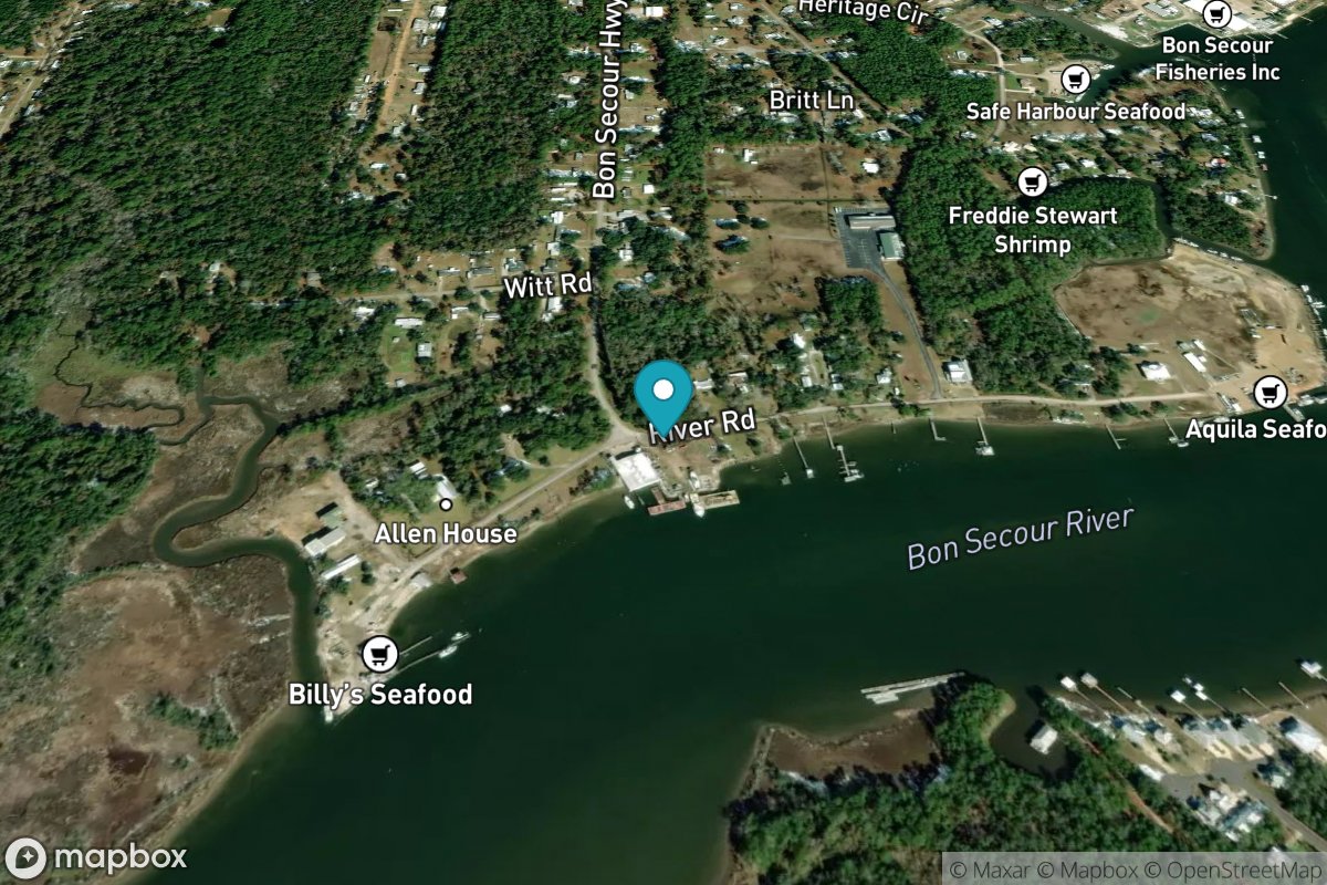
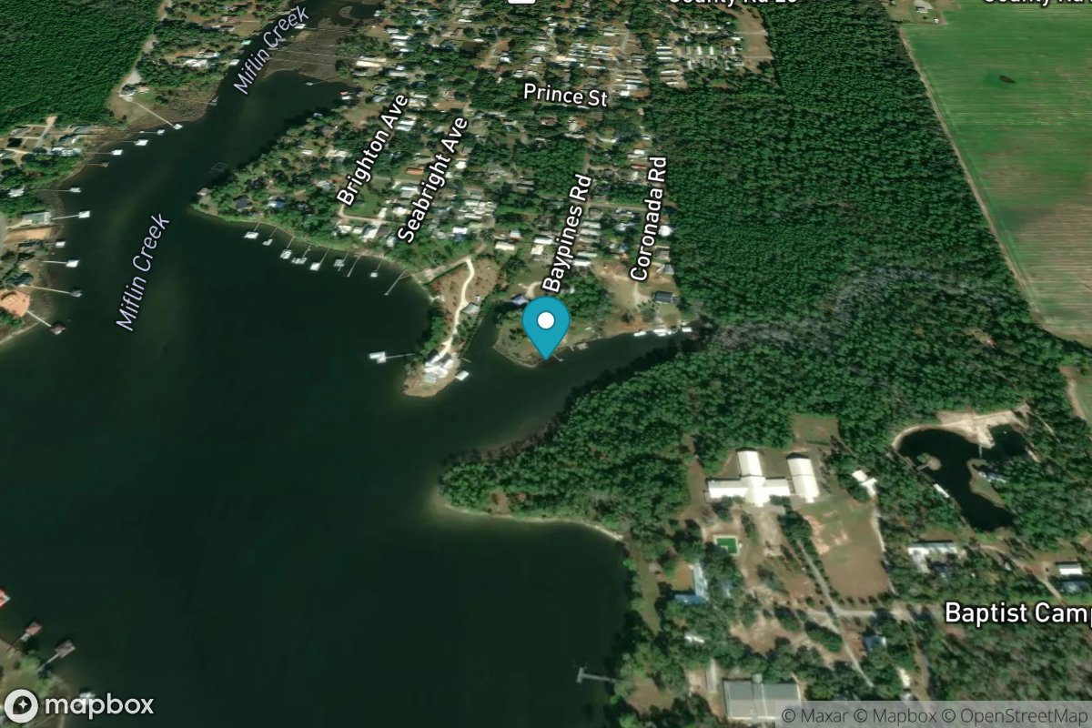
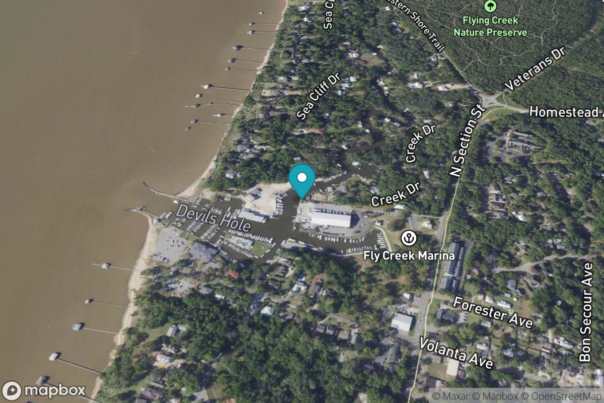
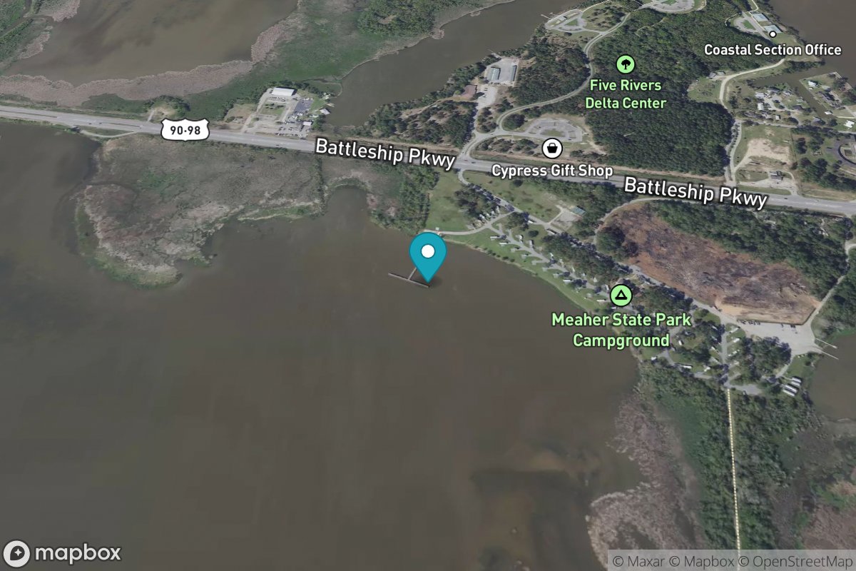
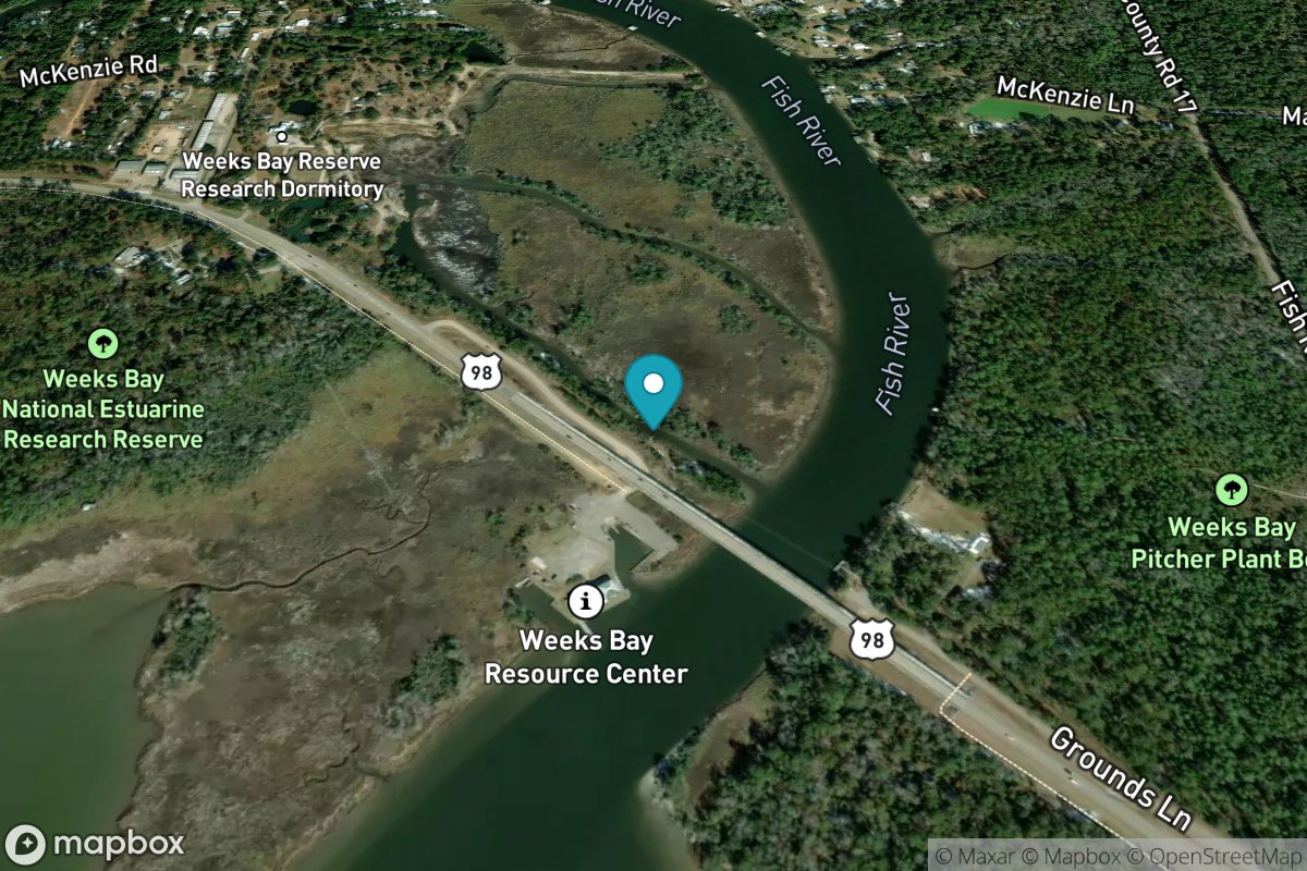
Bon Secour, Bon Secour River
Tide Predictions
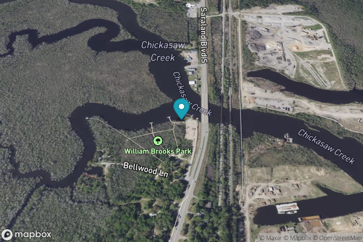
Chickasaw Creek
Tide Predictions
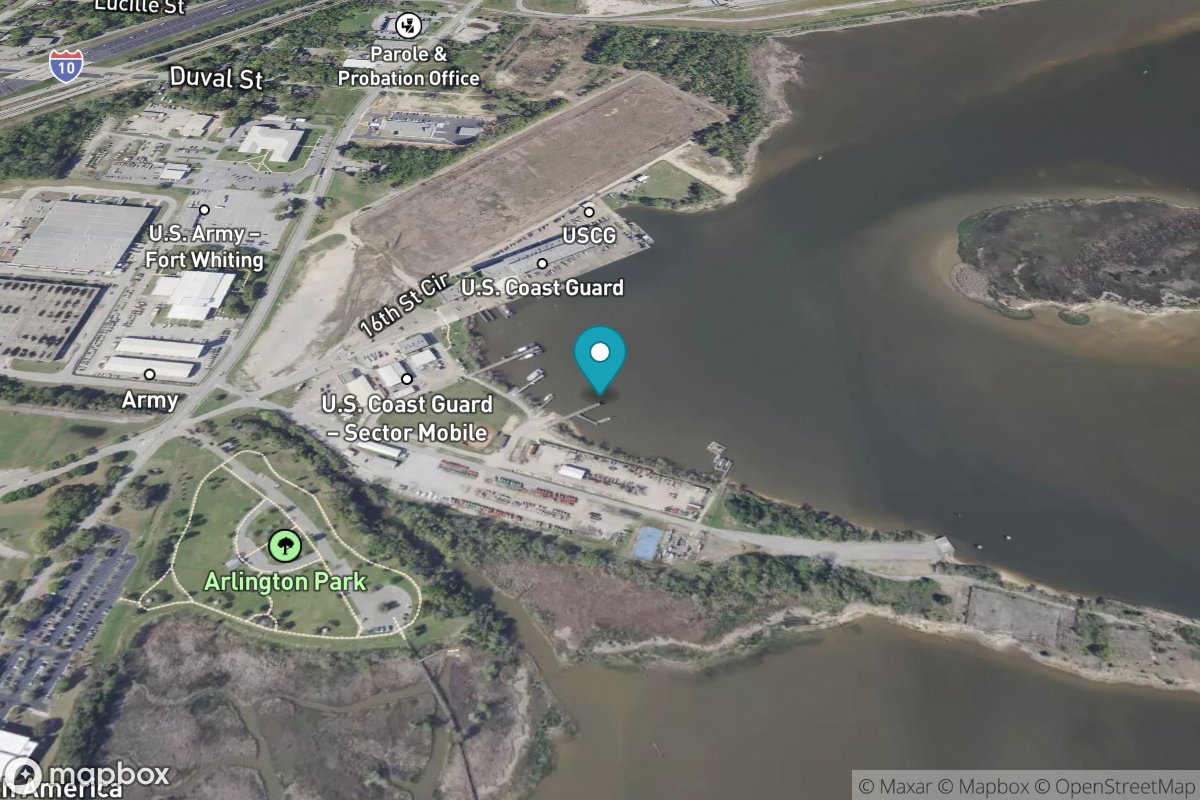
Coast Guard Sector Mobile
Tide Predictions
Water Temp
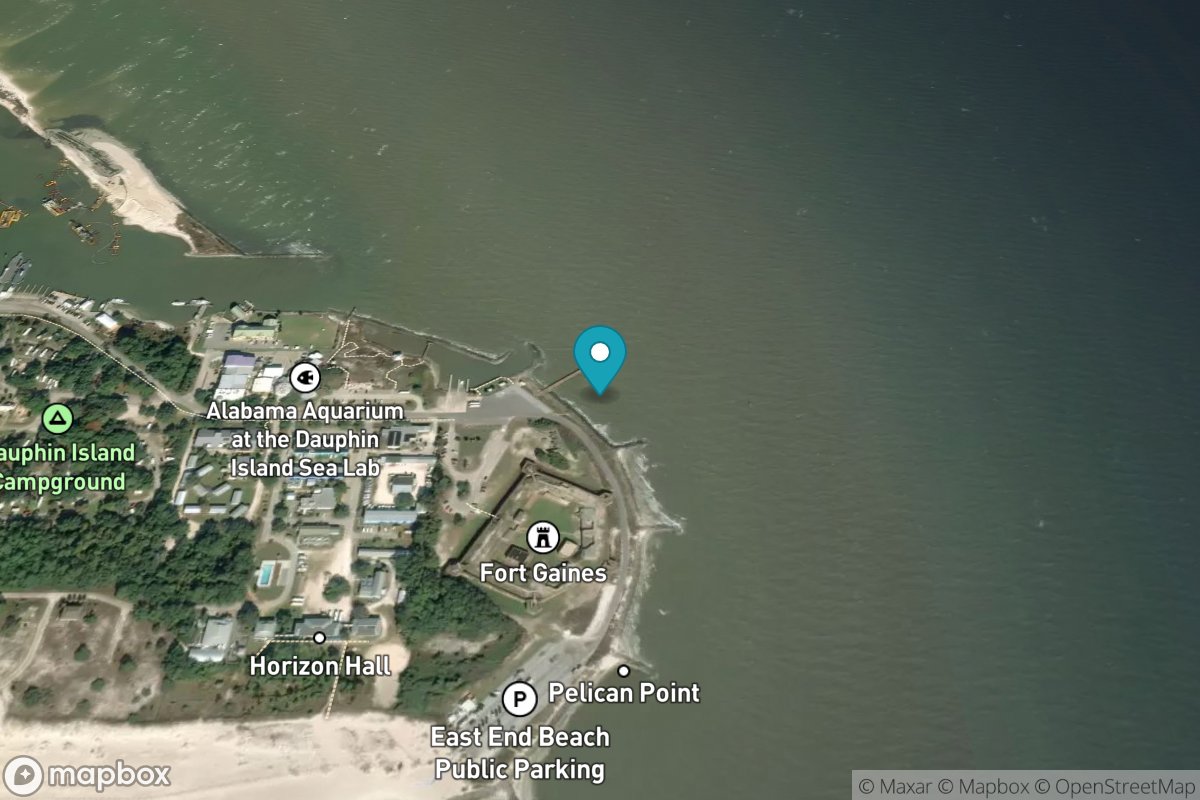
Dauphin Island
Tide Predictions
Water Temp
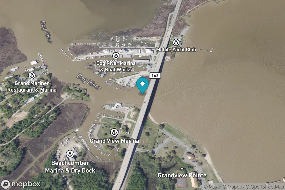
Dog River Bridge
Tide Predictions
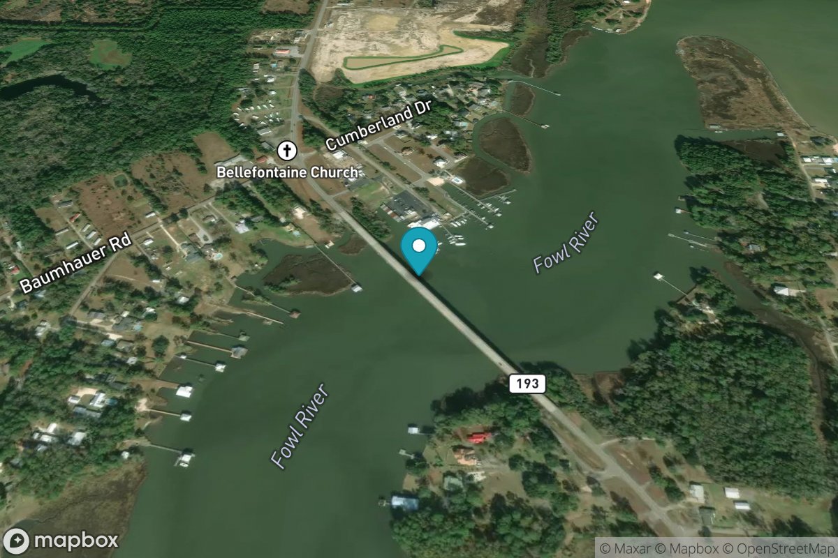
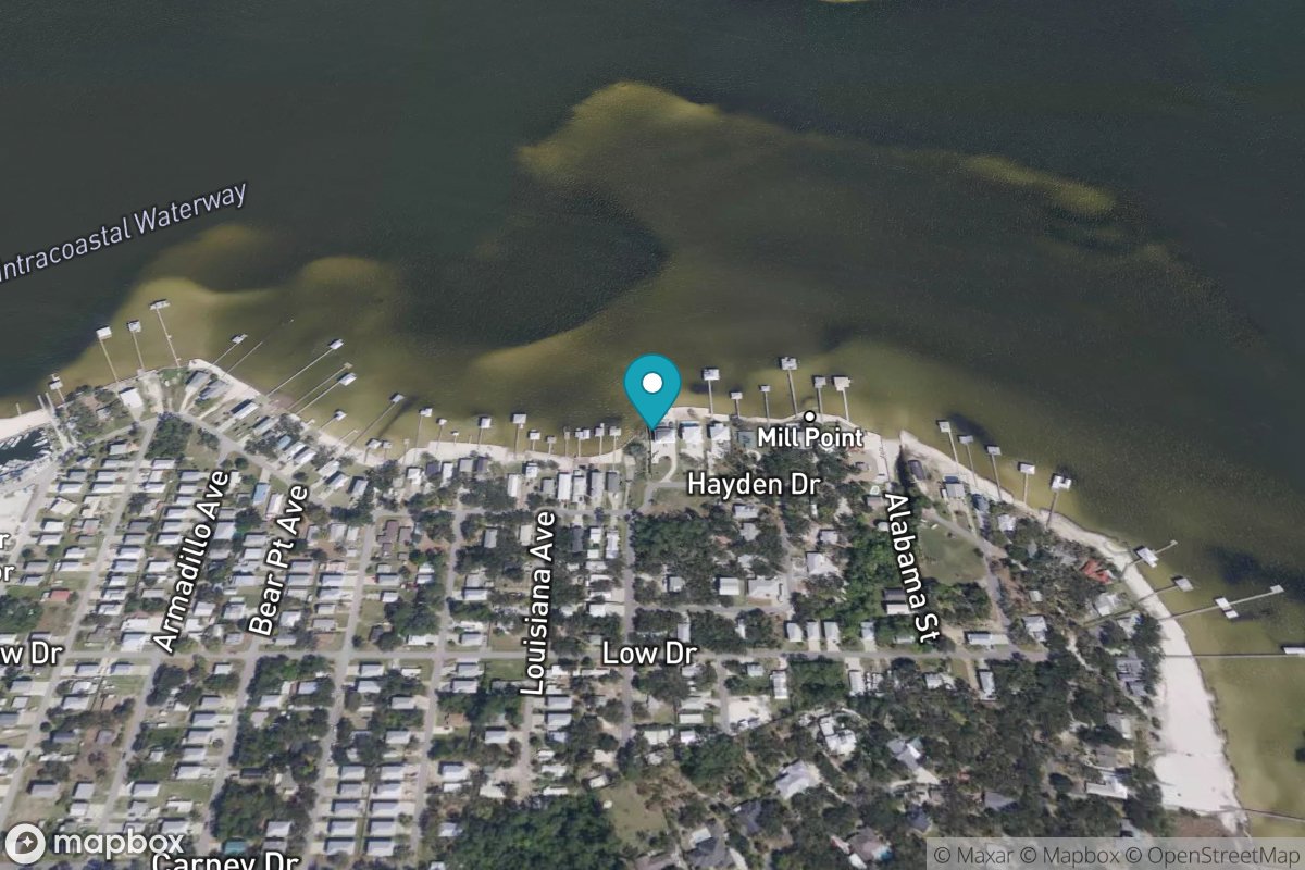
East Fowl River Bridge
Tide Predictions
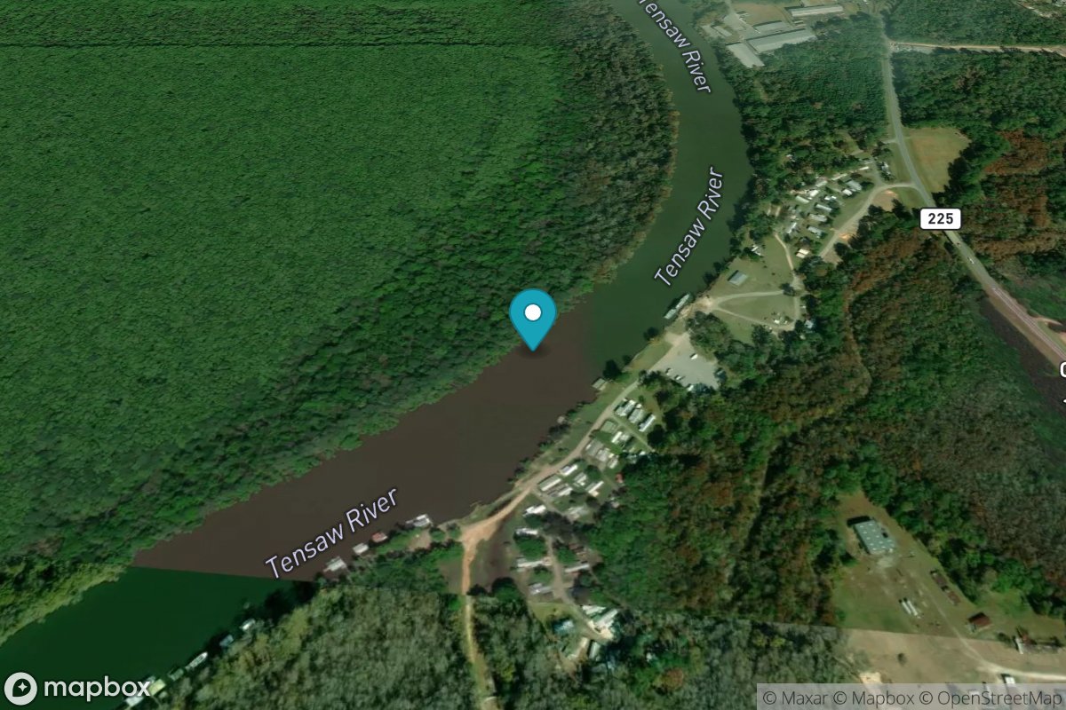
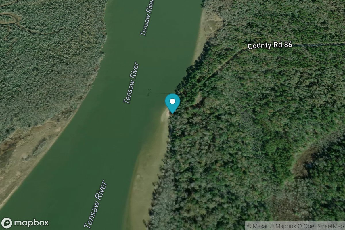
Lower Hall Landing, Tensaw River
Tide Predictions
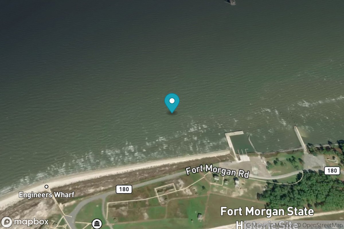
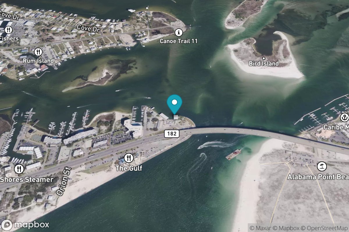
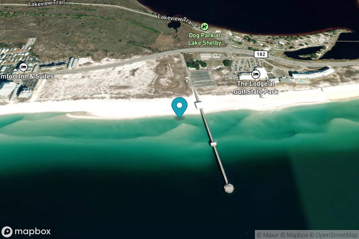
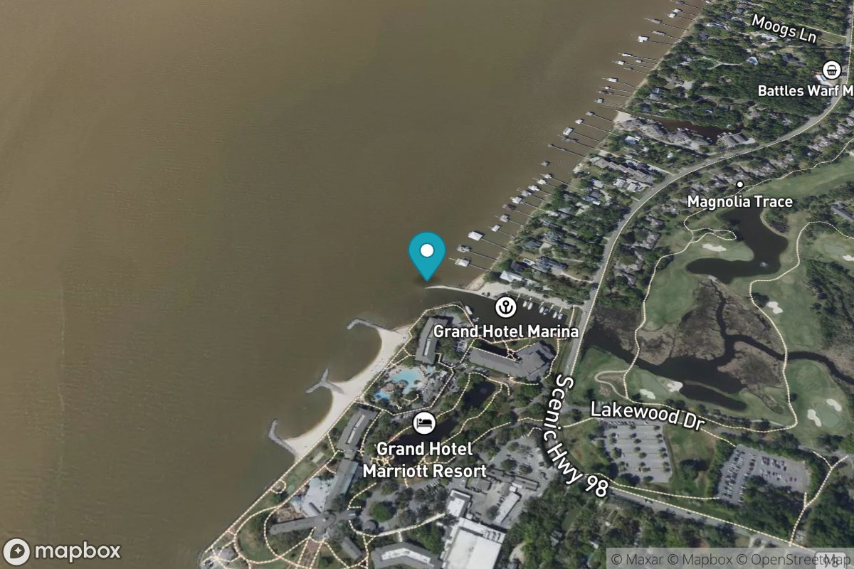
Mobile Point (Fort Morgan)
Tide Predictions
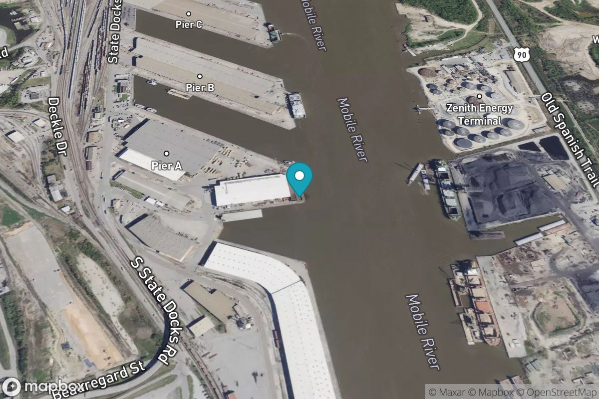
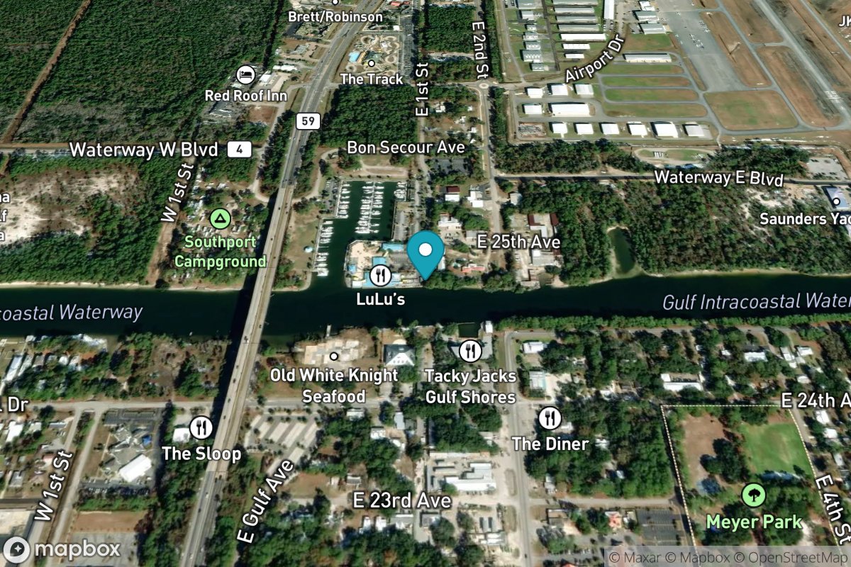
Mobile State Docks
Tide Predictions
Water Temp
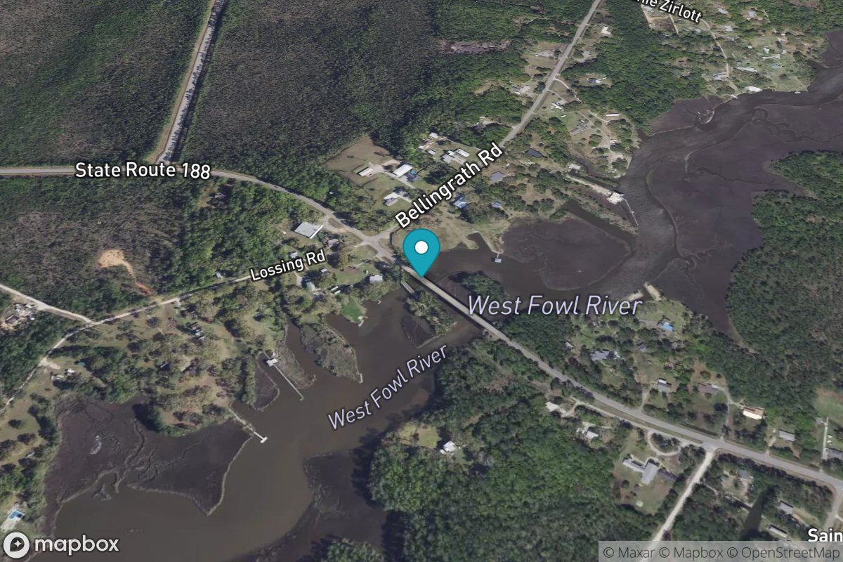
West Fowl River Bridge
Tide Predictions