7 Steps of Death
Save this feature with the run it belongs to.
Gauge Conditions
Runnable: ? – ? CFS
Approximate - nearest available gauge. Use as general reference only.
Data from American Whitewater & USGS
Photo
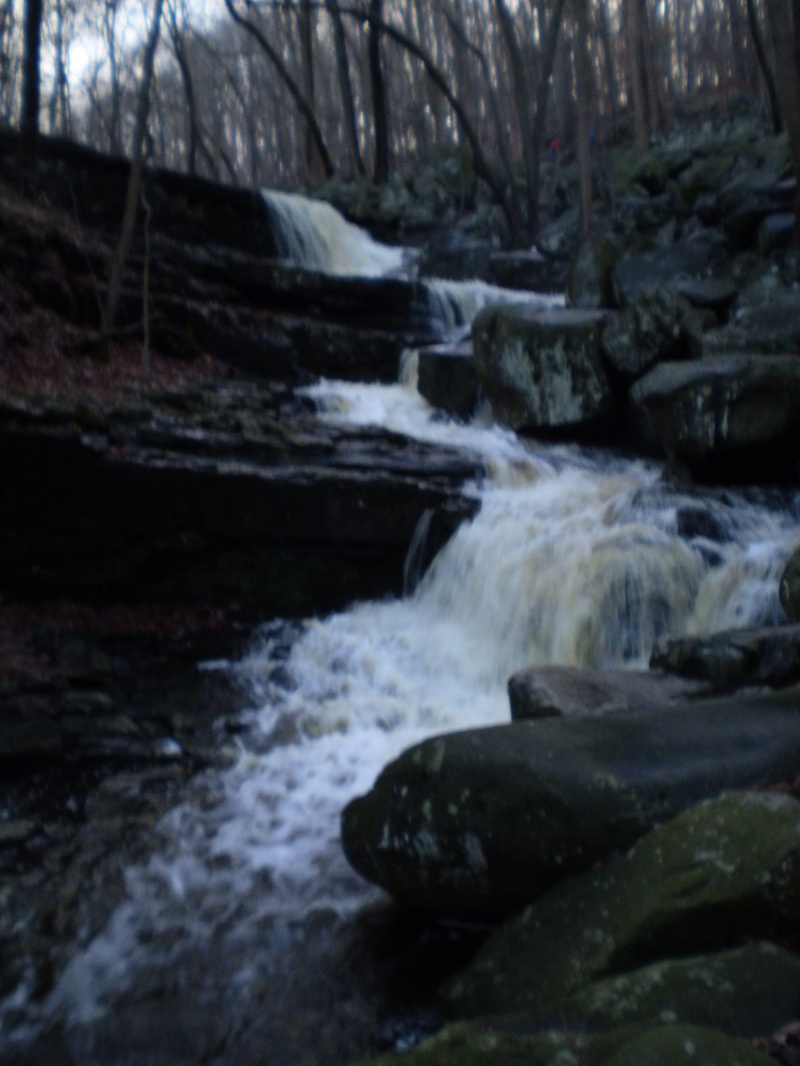
Photo courtesy of American Whitewater
Description
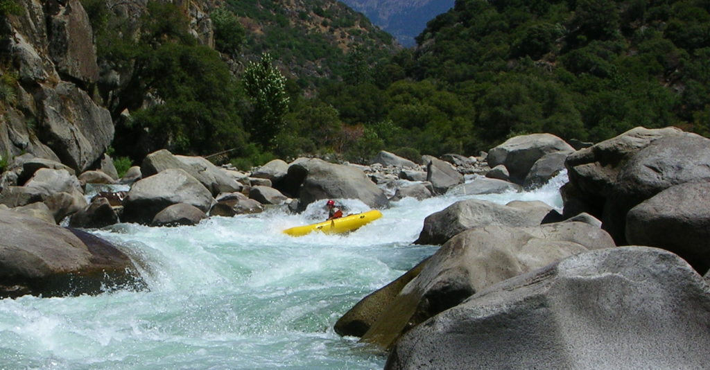
The first step is about 10-12 ft high to give you some perspective. On the river left side is a wicked piton and bow entrapping v notch. On river right it drops completely on to flat rock and moving flow. No pooling, only pillowing at best.
The next series of corners and drops are not so bad if isolated but together they are a formidable gauntlet. Pitons and broaches are typical and can greatly be reduced if you scout at low flows to know the riverbed character.
To this point the 7 Steps have mainly only been run by full on creekers that have run all of the hairy 5+ drops locally as well as across the region. Think twice.
Location
Interactive river map
Loads as you approach this section.
Other Rapids on This Run (5)

View Full Run
Ringing Rock State Park to Rt 32
High Falls Creek
V+
0.8 mi
Hazard — Exercise extreme caution in this area.
Current Conditions
5-Day Forecast
Whitewater data from
American Whitewater
American Whitewater