Take-out
WA
Above Alpine Falls Take-Out
Save this feature with the run it belongs to.
Gauge Conditions
Data from American Whitewater & USGS
Description
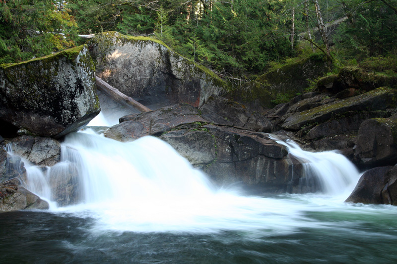
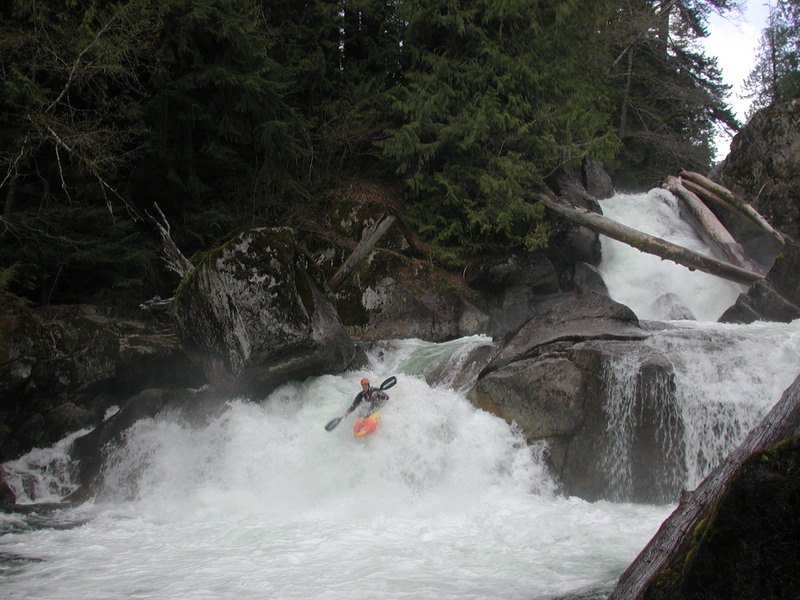
The take-out is at Highway 2 mile 55.3 at a large pullout on the downstream river left side of the bridge across the Tye River. Scout the takeout carefully (takeout at the bridge!) as you don't want to unknowingly drift into the lead in for Alpine Falls. The river left trail provides the best access up to the road. From this pull out you can hike a short trail to Alpine Falls.
Location
Interactive river map
Loads as you approach this section.
View Full Run
1. Surprise Creek to Alpine Falls
Tye
V
3.2 mi
Current Conditions
5-Day Forecast
Whitewater data from
American Whitewater
American Whitewater