Take-out
ME
Airport/Narrow Guage Trail bridge
Save this feature with the run it belongs to.
Gauge Conditions
Runnable: ? – ? CFS
Approximate - nearest available gauge. Use as general reference only.
Data from American Whitewater & USGS
Photo
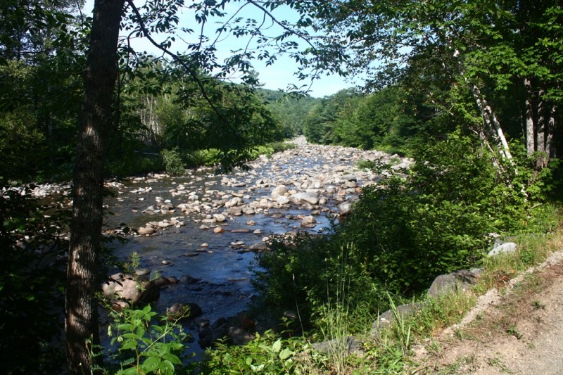
Photo courtesy of American Whitewater
Description
due to mud season often times you need to pull in just South of Sugarbowl drive into the Narrow Gauge trail head.
Location
Interactive river map
Loads as you approach this section.



View Full Run
Redington Road to Airport
Carrabassett River
III-IV(V)
1.9 mi
Current Conditions
5-Day Forecast
Whitewater data from
American Whitewater
American Whitewater