Alternate Take-out
Save this feature with the run it belongs to.
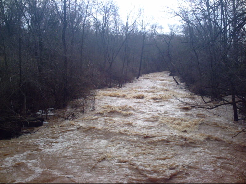
Gauge Conditions
Almost certainly too low (but you could check its stick-gauge for possible low-water minimums). (Stick-gauge under 13.9' is a total scrape.)
Description
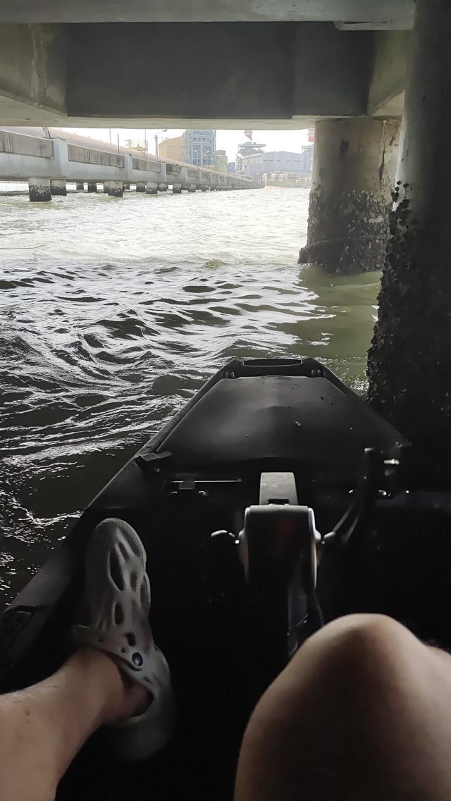
To do laps on the steepest gradient (either when doing the full run with shuttle, or to avoid driving/biking a shuttle), the first reasonable exit after running Upper and Lower Krueger Falls would be at Pierre Road bridge. However, there are only minor eddies under that bridge (at moderate-to-high flows) and it is an extremely awkward climb on steep, wooded banks to get up to the sidewalk.
For easier exit, pass that bridge, and watch river-left for a spot to beach on a rocky shore. You will 'mantle up' a 3-4' vertical cement wall, walk upriver (to the north), to a gate in a chain-link fence surrounding the school football/baseball fields. It may be open, but more likely you may have to drop back down-and-up the wall again to get around it. (It may be possible to take out from the creek before going past that fence/gate, but there is little-to-no obvious marker, and the eddies are not generally as good.) It'll be about 0.3mi to the parking area at the conservancy, or a total of about 0.5mi (or more) if you want to put in for another lap.
Location
Other Rapids on This Run (18)
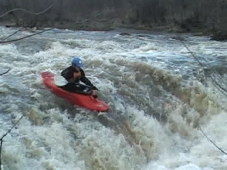 Waterfall
III
Waterfall
III
 Playspot
III
Playspot
III
 Playspot
II+
Playspot
II+
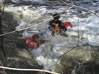
 Hazard
N/A
Hazard
N/A
 Hazard
N/A
Hazard
N/A
 Hazard
N/A
Hazard
N/A
Current Conditions
5-Day Forecast
American Whitewater