asscrack
Save this feature with the run it belongs to.
Gauge Conditions
Data from American Whitewater & USGS
Description
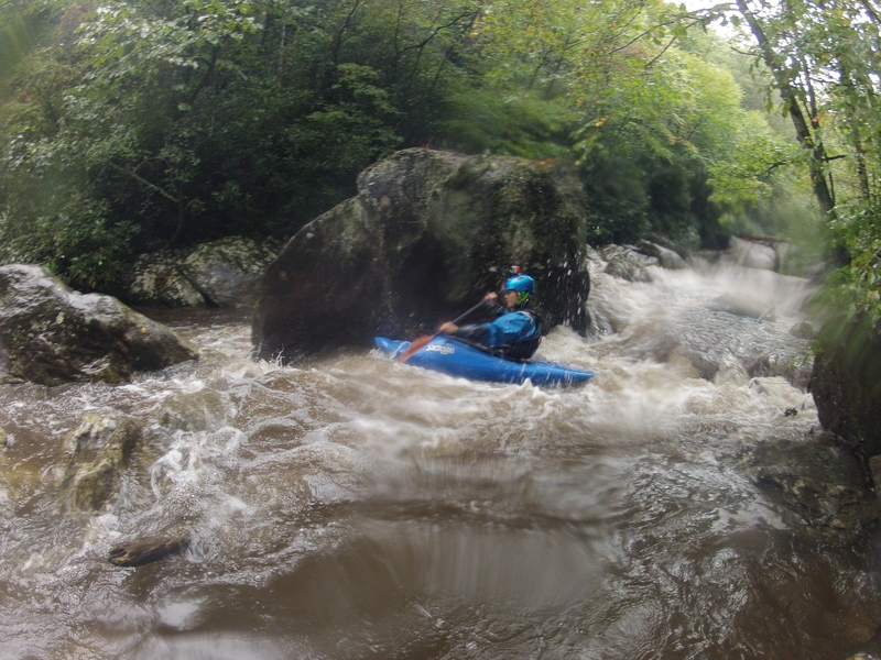
three fun smaller rapids lead to asscrack, a riverwide ledge with cracks on either side. At decent flows (~425 or above) goes fine with a strong drive left of center off the ledge, but at lower levels it is not possible to drive over the ledge, and you have to drop into the crack, best to take out above here at those levels
Location
Interactive river map
Loads as you approach this section.
View Full Run
2 - Tate Branch Campground to Coleman River
Tallulah
IV-V
1.4 mi
Current Conditions
5-Day Forecast
Whitewater data from
American Whitewater
American Whitewater