Take-out
MT
Bear Creek River Access and Trailhead, Take Out
Save this feature with the run it belongs to.
Gauge Conditions
Runnable: 1,000.0 – 20,000.0 CFS
Flow range for best boatability uncertain. Please help your fellow boaters with a comment or report.
Data from American Whitewater & USGS
Photo
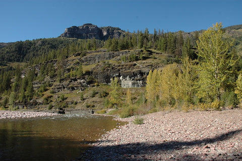
Photo courtesy of American Whitewater
Description
Large parking area easily accessible from Highway 2 with a small raft slide to help get in and out of the river on river right.
Location
Interactive river map
Loads as you approach this section.
Other Rapids on This Run (11)
 Rapid
N/A
Rapid
N/A
Schafer Meadows Airstrip, Put-In
 Rapid
IV
Rapid
IV
Three Forks Rapid Series
 Rapid
N/A
Rapid
N/A
Morrison Creek Trailhead
 Rapid
N/A
Rapid
N/A
Morrison Creek Confluence
 Rapid
N/A
Rapid
N/A
Granite Creek Trailhead
 Rapid
Rapid
Granite Creek confluence
 Rapid
IV
Rapid
IV
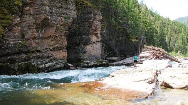
Upper Twenty-Five Mile Rapid
 Rapid
IV
Rapid
IV
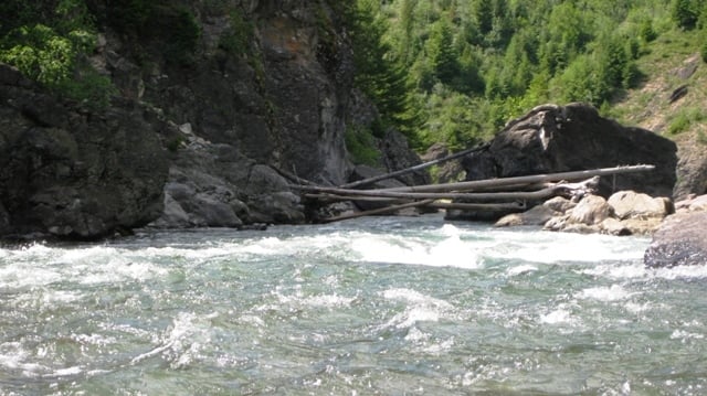
Lower Twenty-Five Mile Rapid
 Rapid
III
Rapid
III
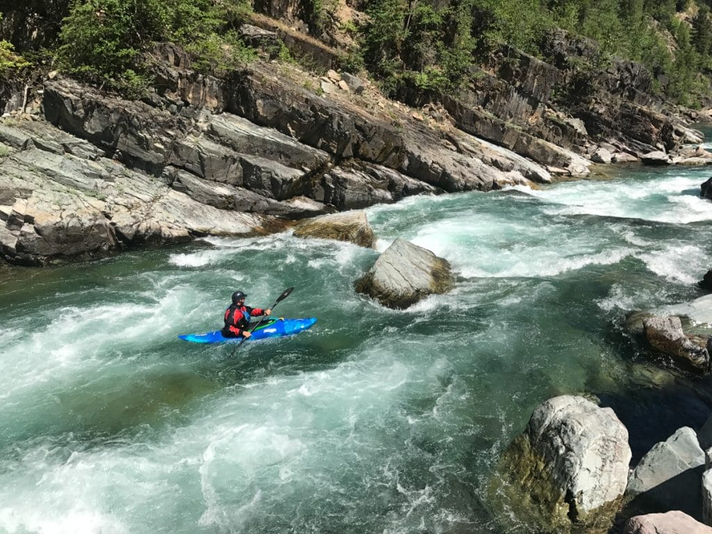
Cye Creek Rapid
 Rapid
III
Rapid
III
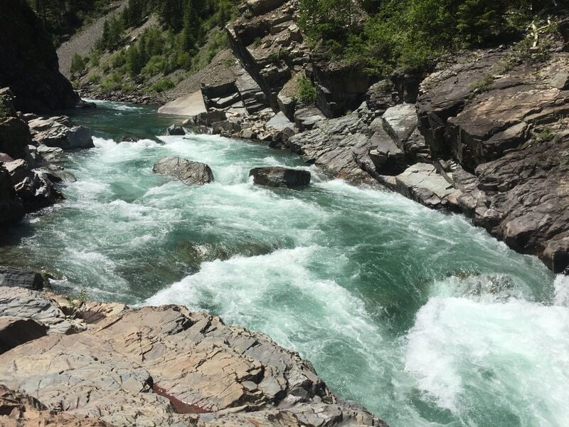
Lunch Creek Series
 Rapid
IV
Rapid
IV
Spruce Park Rapid Series
View Full Run
1. Schafer Meadows to Bear Creek
Flathead, Middle Fork
III-IV
27.5 mi
Current Conditions
5-Day Forecast
Whitewater data from
American Whitewater
American Whitewater