Rapid
CA
Beartrap Creek
Save this feature with the run it belongs to.
Gauge Conditions
Runnable: ? – ? CFS
Approximate - nearest available gauge. Use as general reference only.
Data from American Whitewater & USGS
Description
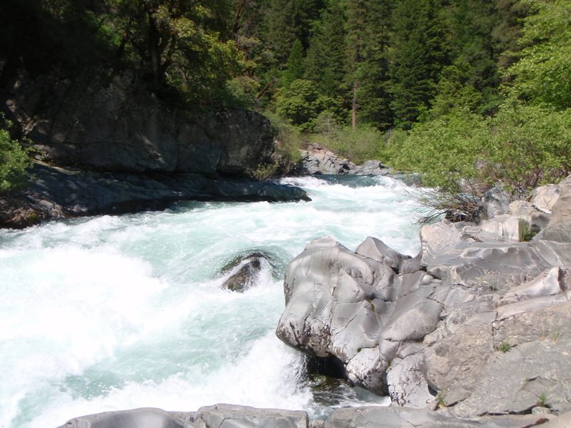
Beartrap creek marks the end of public property and the end of the public trail. Yét Atwam Creek runs through private property from here down and a private road follows the creek to the McCloud confluence. Stay within the high water mark unless forced to scout or portage.
Location
Interactive river map
Loads as you approach this section.
View Full Run
Cabin Creek Trailhead to McCloud River
Yét Atwam Creek
IV(V)
11.0 mi
Current Conditions
5-Day Forecast
Whitewater data from
American Whitewater
American Whitewater