Bedrock Slide
Save this feature with the run it belongs to.
Gauge Conditions
Runnable: 200.0 – 800.0 CFS
Almost certainly too low. (~0-50 cfs)
Data from American Whitewater & USGS
Photo
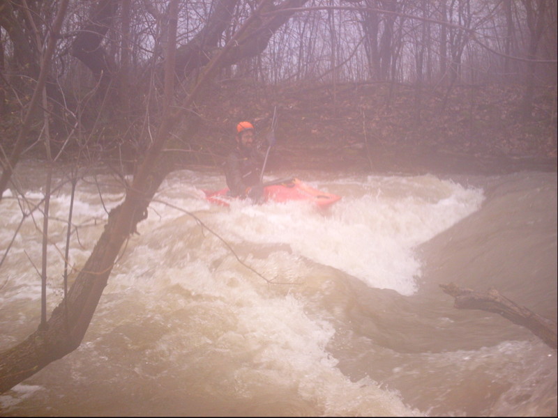
Photo courtesy of American Whitewater
Description
Width: 25'-30'
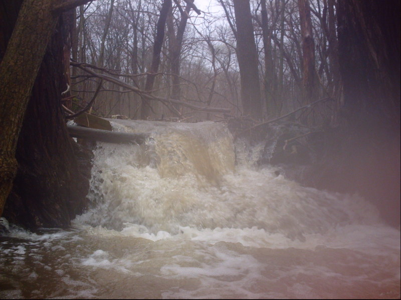
After slogging your way through the "Disenchanted Forest", you'll encounter some bedrock riverbed and some gradient. As mowed lawn appears to the left along a long estate driveway, the sloping bedrock creates a fun little wave. At good flows this has a pretty fair pool/eddy below, and will allow surfs and spins (too shallow for anything vertical). At moderate-to-high flows, it will actually get a bit sticky/retentive!
Drainage has increased to a whopping ~8.5 square miles. Wahoo!
Location
Interactive river map
Loads as you approach this section.
Other Rapids on This Run (15)
 Hazard
N/A
Hazard
N/A
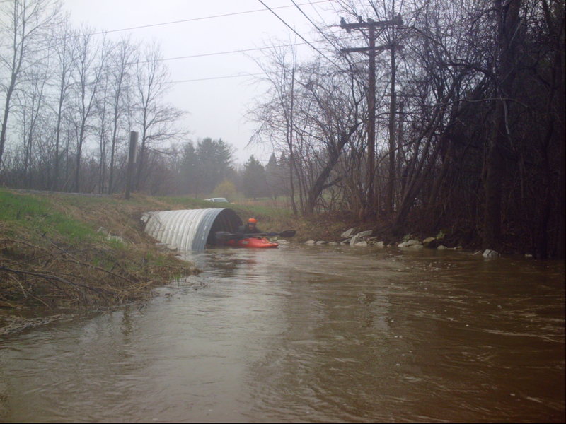
Put-in culvert
 Hazard
N/A
Hazard
N/A
Culvert and Footbridge
 Hazard
II+
Hazard
II+
First Private Dam
 Hazard
Small Impassible Culverts #1
 Hazard
Small Impassible Culverts #2
 Hazard
N/A
Hazard
N/A
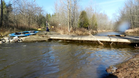
Footbridge
 Hazard
II+
Hazard
II+
Second Private Dam
 Hazard
II
Hazard
II
Hawthorne Road Approach
 Hazard
N/A
Hazard
N/A
Electric Fence #1
 Hazard
N/A
Hazard
N/A
Electric Fence #2
 Hazard
N/A
Hazard
N/A
Electric Fence #3 / Braided Channels
 Hazard
II+
Hazard
II+
Slip-and-slide
Rapid
N/A
Box Culvert
Rapid
N/A
Power Lines
Rapid
N/A
Highland Road -- Take Out!
View Full Run
Bonniwell Road to Highland Road (1.2 - 2.4 miles)
Pigeon Creek
II
2.6 mi
Hazard — Exercise extreme caution in this area.
Current Conditions
5-Day Forecast
Whitewater data from
American Whitewater
American Whitewater