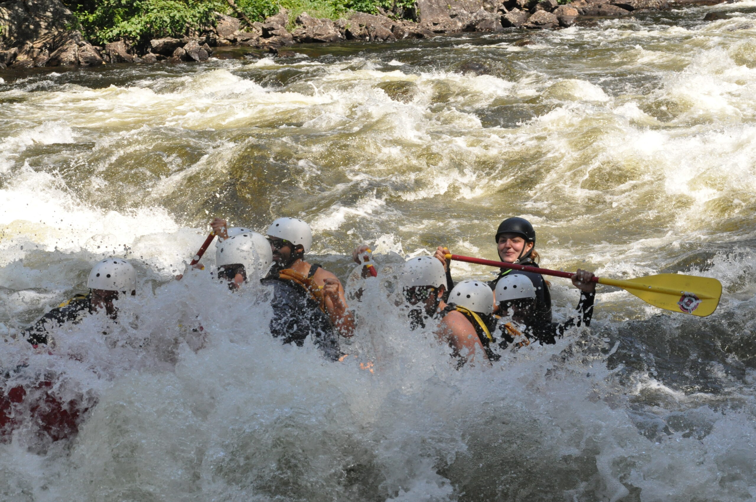
Big Black Brook Rapid
Save this feature with the run it belongs to.
Gauge Conditions
Data from American Whitewater & USGS
Photo
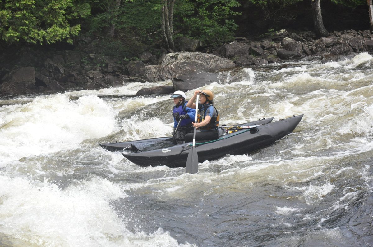
Photo courtesy of American Whitewater
Description
This is the biggest rapid on this section. The route is easily boat scouted. Waves can be large at 4800 cfs release levels and huge at 6000+ cfs.
Location
Other Rapids on This Run (2)
View Full Run
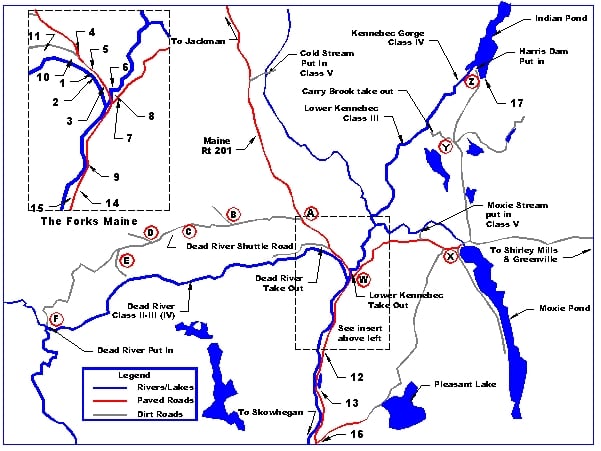
2) Lower Kennebec: Carry Brook to the Forks
Kennebec
II-III
8.1 mi
Current Conditions
5-Day Forecast
Whitewater data from
American Whitewater
American Whitewater