Rapid
WI
Blueberry Lane
Save this feature with the run it belongs to.
Gauge Conditions
Runnable: ? – ? CFS
Approximate - nearest available gauge. Use as general reference only.
Data from American Whitewater & USGS
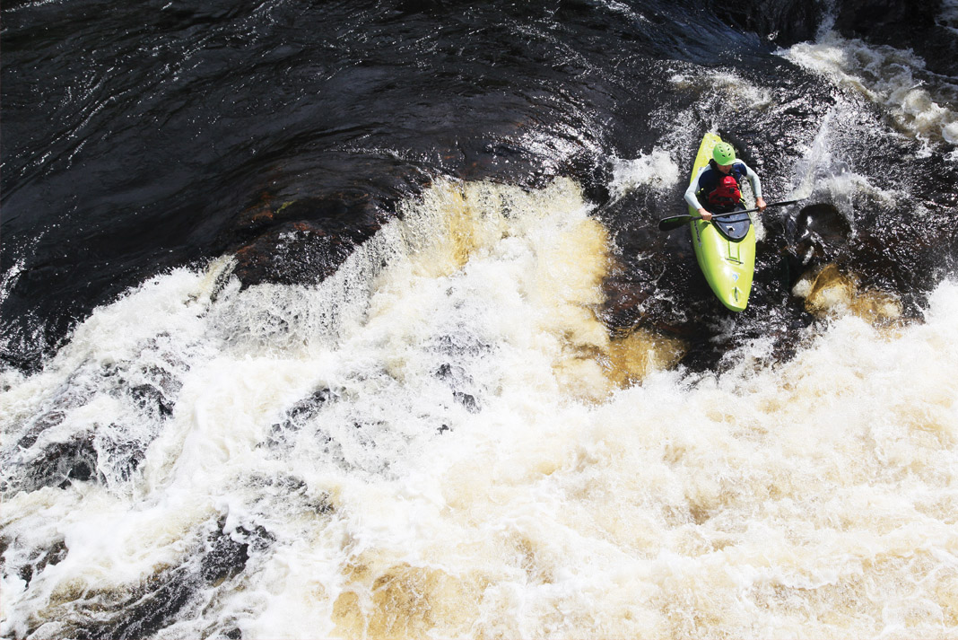
Photo

Photo courtesy of American Whitewater
Description
Blueberry Lane presents a straightforward stretch with minimal technical challenges on the Mullet River. The rapid features scattered rock gardens and potential shallow sections that require careful navigation, especially at lower water levels. Paddlers should be prepared to read and react to the riverbed's changing characteristics and potential submerged obstacles.
Location
Interactive river map
Loads as you approach this section.
Other Rapids on This Run (20)
Rapid
N/A
Notes:
Rapid
N/A
Put-in: Drainage area: ~56 sq.mi.
 Rapid
N/A
Rapid
N/A
Put In
Rapid
N/A
Short Cut Road
Rapid
N/A
Opening rips
 Rapid
N/A
Rapid
N/A
CTH.PP
Rapid
N/A
Railroad Trestle
 Hazard
N/A
Hazard
N/A
Low bridge?
Rapid
N/A
Pleasant View Road
Rapid
N/A
Hwy.57
Rapid
N/A
High-Tension Lines
Hazard
N/A
Low bridge?
Rapid
N/A
Willow Road
Rapid
N/A
Ford
Rapid
N/A
Shoals
Rapid
N/A
Footbridge or ?
Rapid
N/A
Shoals
Rapid
N/A
CTH.M
Rapid
N/A
Sumac Road
 Rapid
N/A
Rapid
N/A
Powerline Crossing
View Full Run
S.of Plymouth to Old CTH.PP (up to 14.7 miles)
Mullet
I-II
14.0 mi
Current Conditions
5-Day Forecast
Whitewater data from
American Whitewater
American Whitewater