Take-out
AL
Canyon Mouth Park
Save this feature with the run it belongs to.
Gauge Conditions
Data from American Whitewater & USGS
Photo
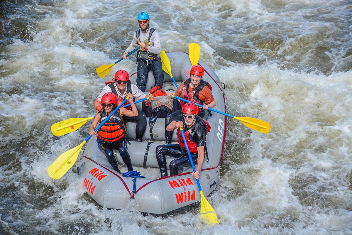
Photo courtesy of American Whitewater
Description
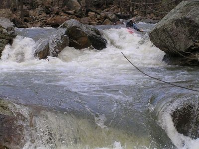
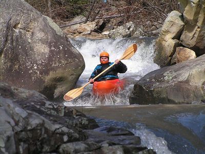
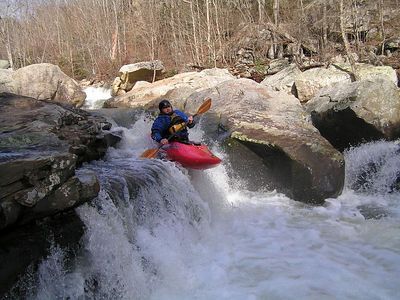
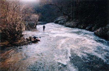
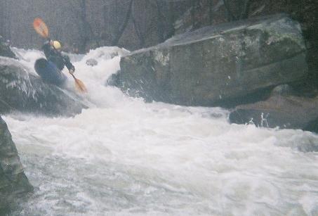
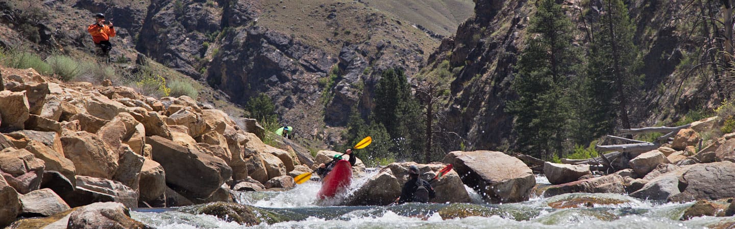
Canyon Mouth Park rapid marks the terminus of a technical Class III whitewater section with a complex hydraulic profile featuring multiple mid-river ledge drops and closely spaced boulder gardens. Paddlers should anticipate a technical line requiring precise boat positioning to navigate a series of diagonal rock-formed hydraulics, with the primary line running center-right and avoiding a recirculating hole at river left. The rapid demands active maneuvering and strong boat control, with potential for pin hazards during low to moderate water levels.
Location
Interactive river map
Loads as you approach this section.
Other Rapids on This Run (17)
 Waterfall
III+
Waterfall
III+
Entrance Falls
 Hazard
IV
Hazard
IV
Two Out Of Three
 Rapid
III+
Rapid
III+
Boogie Right
 Rapid
III+
Rapid
III+
Cave Left
 Rapid
IV
Rapid
IV
Left Bank
 Rapid
III+
Rapid
III+
Right Slot
 Rapid
II
Rapid
II
The Conveyor Belt
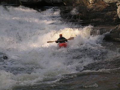 Waterfall
IV
Waterfall
IV
The Big Slide
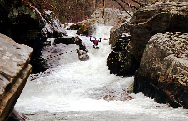 Waterfall
V
Waterfall
V
Gorilla Constrictor
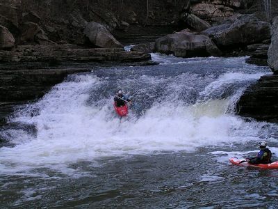 Waterfall
IV
Waterfall
IV
The Little Slide
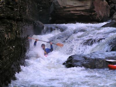 Rapid
IV
Rapid
IV
Cliff Right a.k.a. The Ditch
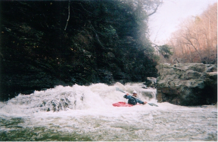 Waterfall
IV
Waterfall
IV
Meltdown a.k.a. Ditch Bitch
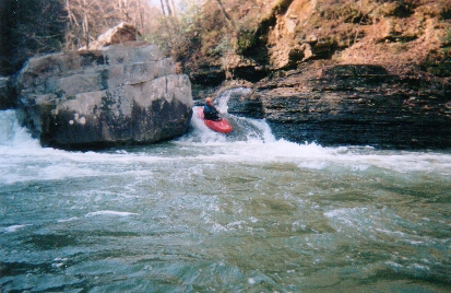 Rapid
IV
Rapid
IV
Earthquake
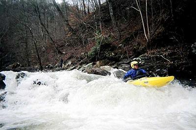 Rapid
IV
Rapid
IV
Boulder Choke
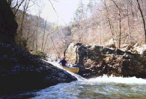 Hazard
IV+
Hazard
IV+
Bastard
 Rapid
III+
Rapid
III+
Last Drop
 Rapid
Rapid
Confluence with the Little River
View Full Run
3. Canyon Rim Road to Canyon Mouth Park (Lower)
Johnnies Creek
IV(V)
1.8 mi
Current Conditions
5-Day Forecast
Whitewater data from
American Whitewater
American Whitewater