Rapid
ID
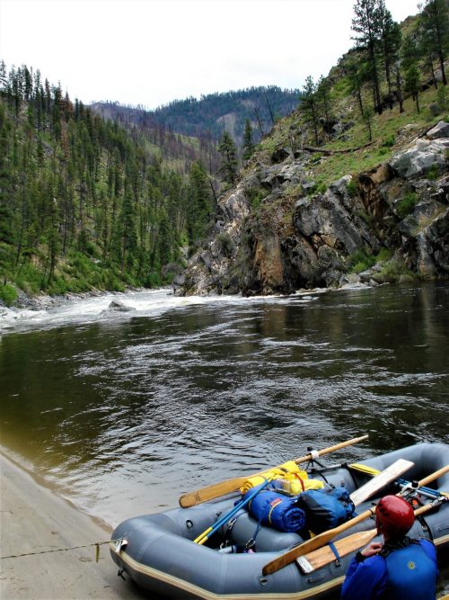
Caton Creek Alternate Put In
Save this feature with the run it belongs to.
Gauge Conditions
Data from American Whitewater & USGS
Description
Another alternate put-in downstream of Flight Simulator.
Location
Other Rapids on This Run (5)
View Full Run
2 - Johnson Creek to S.F.Salmon River
Salmon, E. Fork of S. Fork
III-V
15.0 mi
Current Conditions
5-Day Forecast
Whitewater data from
American Whitewater
American Whitewater