Rapid
CA
Channel Split
Save this feature with the run it belongs to.
Gauge Conditions
Runnable: ? – ? CFS
Approximate - nearest available gauge. Use as general reference only.
Data from American Whitewater & USGS
Photo
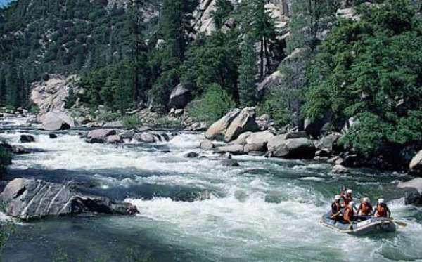
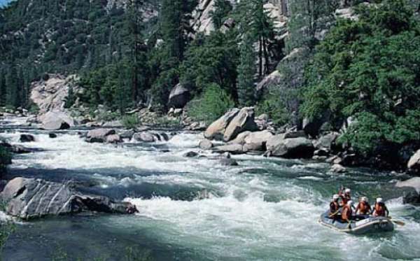
Photo courtesy of American Whitewater
Description
At the end of the long island above the river splits into three channels. Two go straight downstream to the left. However, you want to turn sharply back river right and the river will seem to turn as though it is going back up stream. This small channel cuts between the bottom of the upper island and the top of the lower island. It puts you on the right side of the lower island. The left side channels are brushy and obstructed.
Location
Interactive river map
Loads as you approach this section.
Other Rapids on This Run (12)

View Full Run
7) Mouth of Canyon to Rancheria Road
Kern
IV
2.8 mi
Current Conditions
5-Day Forecast
Whitewater data from
American Whitewater
American Whitewater