Colton Falls
Save this feature with the run it belongs to.
Gauge Conditions
Runnable: 500.0 – 2,000.0 CFS
Real-time flow information not dependable. Use flow forecast provided by Reliant Stone Valley Forecast. (See 'Flow Info' tab.)
Data from American Whitewater & USGS
Photo
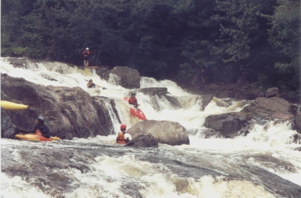
Photo courtesy of American Whitewater
Description
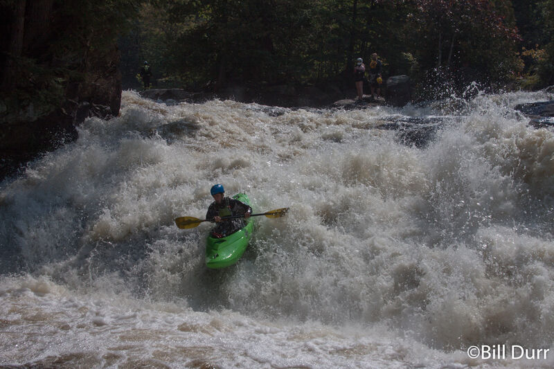
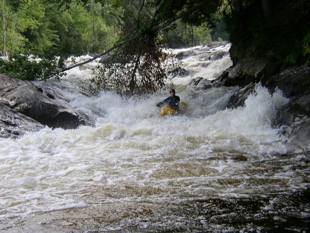
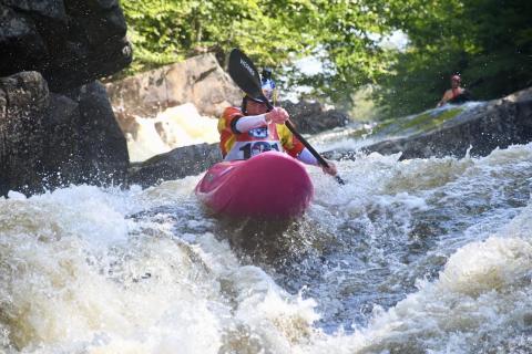
Starting at the base of the Colton Dam, this 60' drop is a continuous series of ledges, slots, and slides that ends with a mean river-wide hole at the bottom. There are short pools and a few eddies that make this easier than it may sound at levels below 900cfs. (At high flows, the bottom hole is a keeper!) Slots do have high pin potential. The river right channel avoids the bottom hole, but it is technical, shallow, and unforgiving if you flip. Scout this using the trails and on river right. Easy to portage using the trails on the right.
Location
Interactive river map
Loads as you approach this section.

View Full Run
4) Stone Valley: Colton to Brown's Bridge
Raquette
IV-V
2.9 mi
Hazard — Exercise extreme caution in this area.
Current Conditions
5-Day Forecast
Whitewater data from
American Whitewater
American Whitewater