Rapid
WI
Confluence, N.Br.Embarrass
Save this feature with the run it belongs to.
Gauge Conditions
Runnable: 600.0 – 4,000.0 CFS
Probably too low for any reasonable whitewater.
Data from American Whitewater & USGS
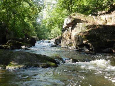
Photo
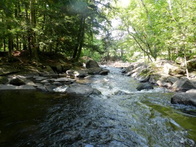
Photo courtesy of American Whitewater
Description
Downstream of the bridge/takeout, it is less than a half-mile to the confluence with the N.Br.Embarrass, the last of the three major tributaries of the Embarrass River.
Location
Interactive river map
Loads as you approach this section.
Other Rapids on This Run (2)
View Full Run
Hayman Falls (0.5 mile)
Embarrass
III
0.4 mi
Current Conditions
5-Day Forecast
Whitewater data from
American Whitewater
American Whitewater