Rapid
MN
Confluence, Thirtynine Creek
Save this feature with the run it belongs to.
Gauge Conditions
Runnable: ? – ? CFS
Approximate - nearest available gauge. Use as general reference only.
Data from American Whitewater & USGS
Photo

Photo courtesy of American Whitewater
Description
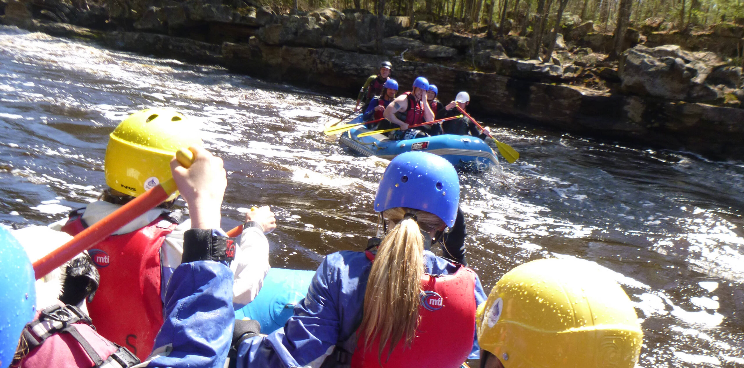
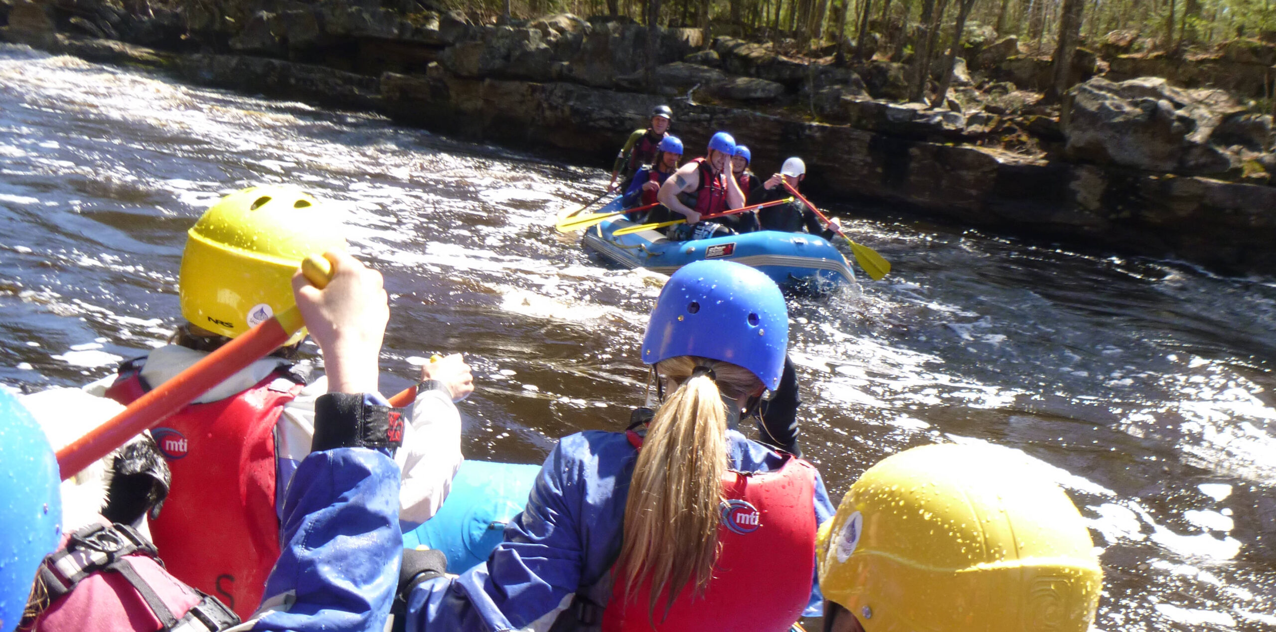
After some twists and turns, the river widens as Thirtynine Creek comes in from the left (North). This adds appreciable flow, and from here down, the Beaver is generally a much broader stream. The next (roughly) mile-and-a-half will be the lowest gradient of the run (~20FPM).
Location
Interactive river map
Loads as you approach this section.


View Full Run
A) North Shore Snomobile Trail to CR3/Airport Road (7.2 miles)
Beaver
II-IV
6.2 mi
Current Conditions
5-Day Forecast
Whitewater data from
American Whitewater
American Whitewater