Rapid
MN
Confluence, W.Br.Beaver
Save this feature with the run it belongs to.
Gauge Conditions
Runnable: ? – ? CFS
Approximate - nearest available gauge. Use as general reference only.
Data from American Whitewater & USGS
Photo

Photo courtesy of American Whitewater
Description
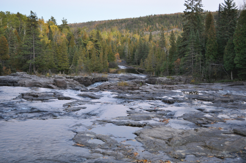
The West Branch Beaver river comes in from river-right. (This might be almost unnoticed, since it comes in at a wide spot in a marshy backwater.)
At this point, the combined drainage area is about 40 square miles (to the best I can do using online planimeter and topomaps).
Location
Interactive river map
Loads as you approach this section.
Other Rapids on This Run (4)



View Full Run
B) Co.Rd.3/Airport Rd. to Glen Avon Falls (2.85 miles)
Beaver
II-III(V)
2.7 mi
Current Conditions
5-Day Forecast
Whitewater data from
American Whitewater
American Whitewater