Rapid
TX
Confluence with Cypress Creek
Save this feature with the run it belongs to.
Gauge Conditions
Runnable: 1,000.0 – 10,000.0 CFS
Upper limit for best boatability uncertain. Please help your fellow boaters by submitting a comment or report.
Data from American Whitewater & USGS
Photo
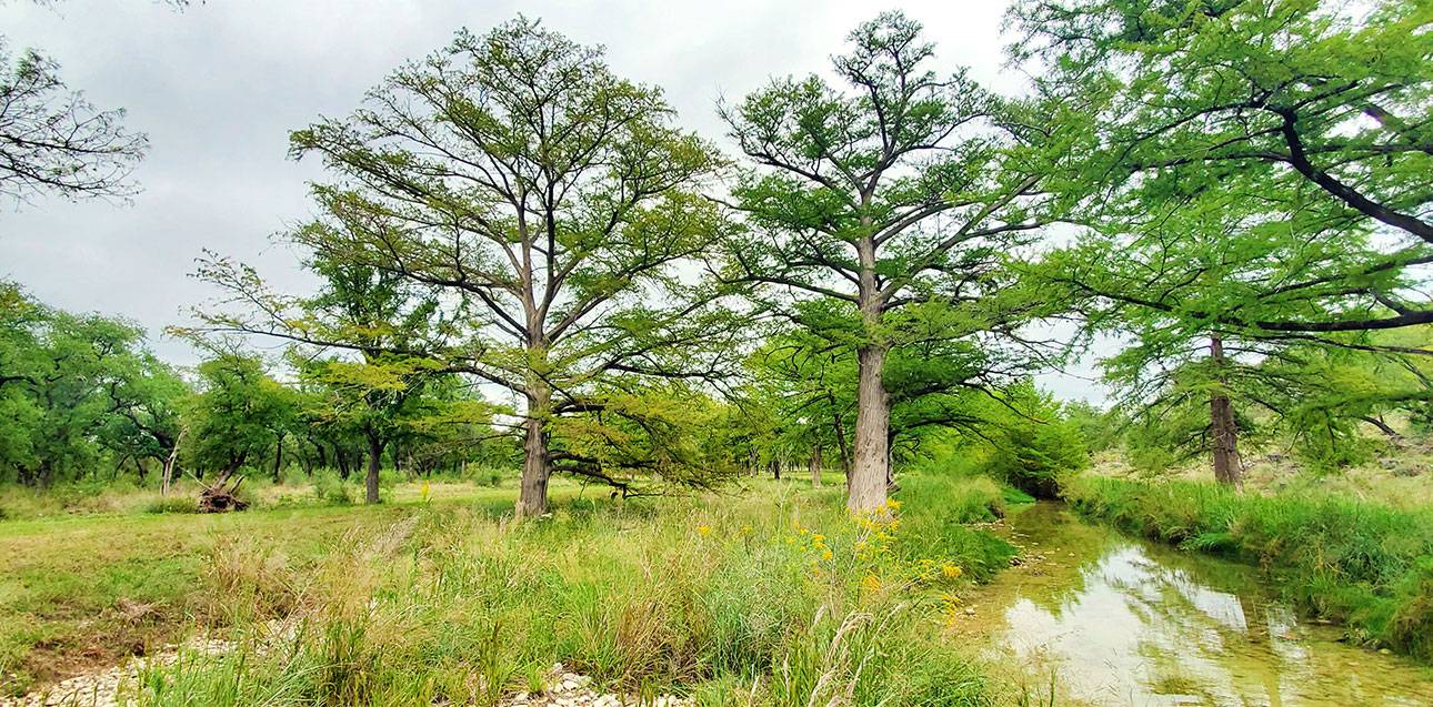
Photo courtesy of American Whitewater
Description
The confluence with Cypress Creek marks a potential hazard where increased water volume and potential debris can alter the river's dynamics. Paddlers should scout carefully for any strainers, fallen trees, or sudden changes in river flow that might emerge from the creek's input, especially during high water conditions or after significant rainfall.
Location
Interactive river map
Loads as you approach this section.
View Full Run
3. Pedernales Falls SP to Reimers Ranch (14.7 miles)
Pedernales
I-II
14.7 mi
Current Conditions
5-Day Forecast
Whitewater data from
American Whitewater
American Whitewater