Rapid
AL
Confluence with Little River
Save this feature with the run it belongs to.
Gauge Conditions
Runnable: 4,500.0 – 10,000.0 CFS
Upper limit for best boatability uncertain. Please help your fellow boaters with a comment or report.
Data from American Whitewater & USGS
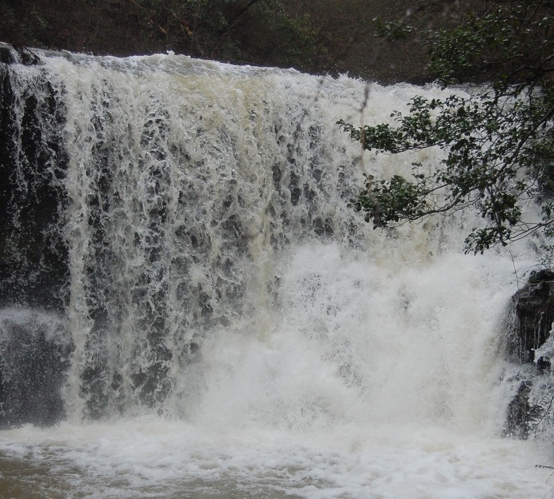
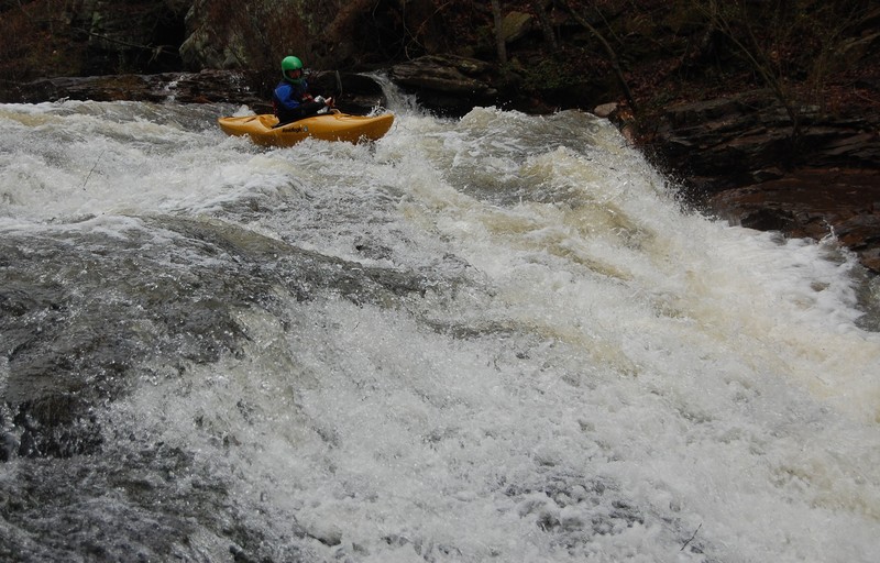
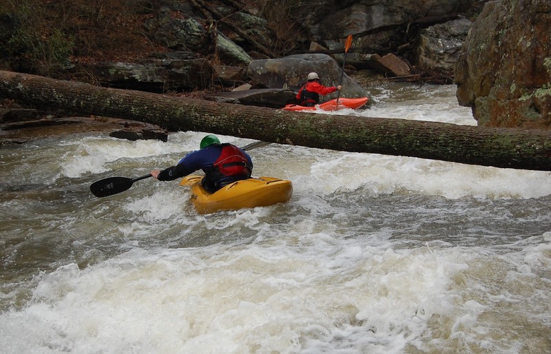
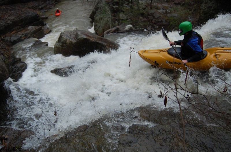
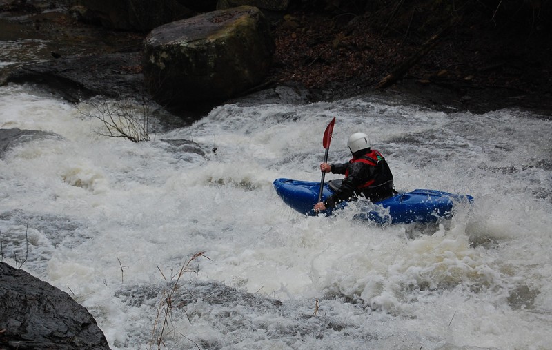
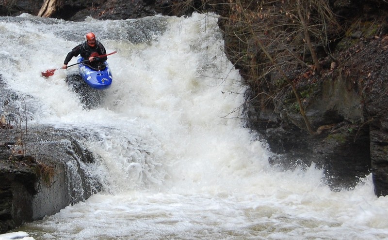
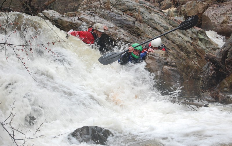
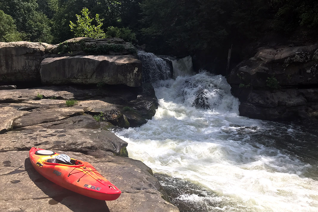
Photo
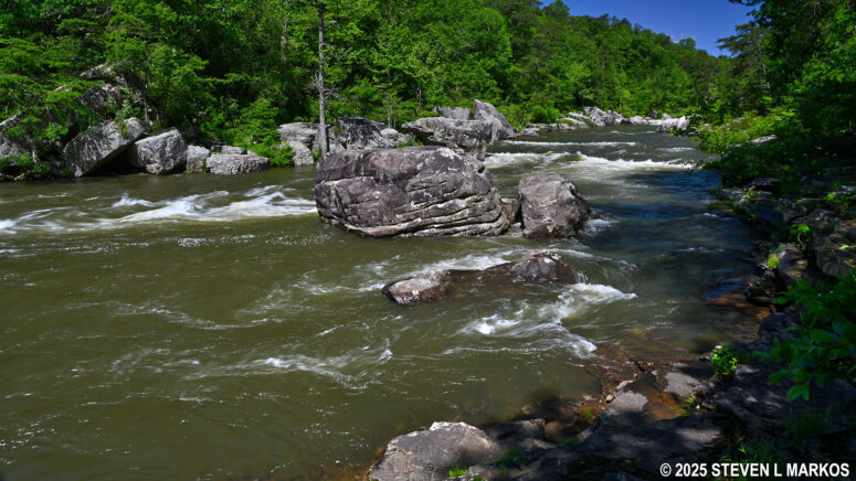
Photo courtesy of American Whitewater
Description
At the confluence with Little River, Chinquapin Creek's gradient increases dramatically, creating a complex technical rapid with multiple channels and irregular boulder gardens. Paddlers must navigate a tight entrance with potential pin hazards, followed by a series of sharp diagonal hydraulics that demand precise boat positioning and quick maneuvering. The rapid's complexity increases during higher water levels, requiring advanced route-finding skills and immediate recognition of shifting water dynamics.
Location
Other Rapids on This Run (15)
 Rapid
Rapid
Put In Bridge
 Waterfall
V+
Waterfall
V+
First Falls a.k.a. Ankle Breaker
 Rapid
IV
Rapid
IV
First Slide Series
 Rapid
IV
Rapid
IV
First Slide Series (part 2)
 Waterfall
V+
Waterfall
V+
Anvil
 Waterfall
V+
Waterfall
V+
Twat
 Waterfall
IV+
Waterfall
IV+
Curtain Falls a.k.a. Looking Glass Falls
 Hazard
V
Hazard
V
Behind the Curtain
 Waterfall
IV+
Waterfall
IV+
Taste the Rainbow a.k.a.The Big Slide
 Waterfall
IV
Waterfall
IV
V Slide
 Waterfall
V
Waterfall
V
Fuzzy Bunny Slippers
 Waterfall
IV+
Waterfall
IV+
Boulder Slide Series
 Waterfall
IV
Waterfall
IV
Captin Happy a.k.a.Last Drop
 Hazard
IV
Hazard
IV
Unnammed Boulder Stuff
 Rapid
Rapid
Powell Trail
View Full Run
Canyon Rim Road to Little River
Chinquapin Creek
V
0.8 mi
Current Conditions
5-Day Forecast
Whitewater data from
American Whitewater
American Whitewater