Rapid
TX
Confluence with Red Bluff Creek
Save this feature with the run it belongs to.
Gauge Conditions
Runnable: ? – ? CFS
Approximate - nearest available gauge. Use as general reference only.
Data from American Whitewater & USGS
Photo
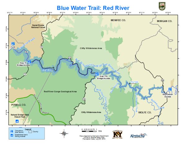
Photo courtesy of American Whitewater
Description
The confluence of Pipe Creek and Red Bluff Creek creates a potential hydraulic feature with variable water conditions that can change rapidly depending on recent rainfall and flow rates. Paddlers should carefully scout the confluence zone for potential obstructions, submerged rocks, and unexpected current shifts that could complicate navigation. Due to limited beta on this specific section, experienced whitewater paddlers are advised to approach with caution and gather current local information before attempting.
Location
Interactive river map
Loads as you approach this section.
Other Rapids on This Run (10)



View Full Run
SH 16 to Medina River (Red Bluff Ranch Drive) (8.2 miles)
Pipe Creek-Red Bluff Creek (current beta needed)
II-III(IV)
5.7 mi
Current Conditions
5-Day Forecast
Whitewater data from
American Whitewater
American Whitewater