Gauge Conditions
Data from American Whitewater & USGS
CDEC Flow Data California
Data from California Data Exchange Center (CDEC)
Photo
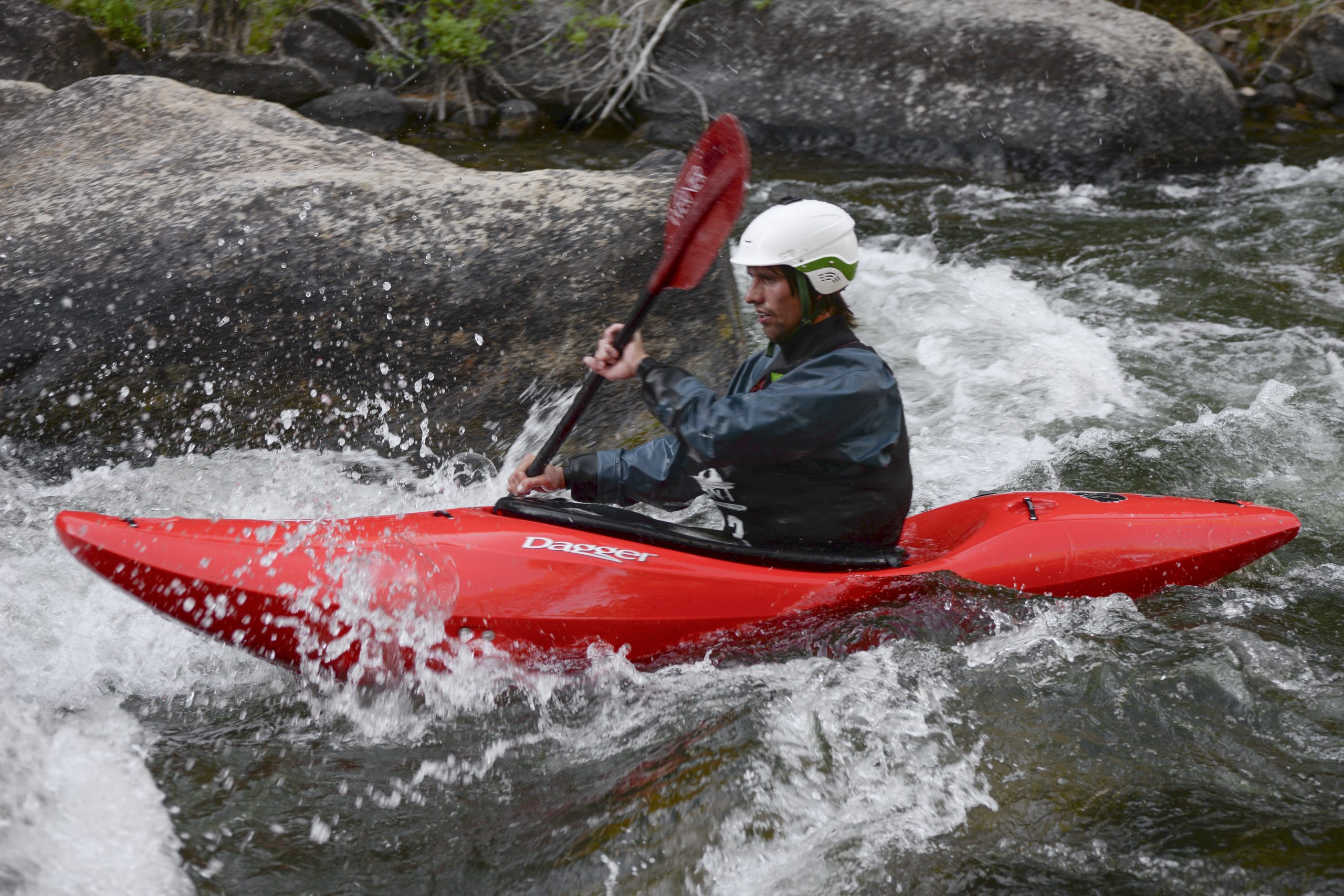
Photo courtesy of American Whitewater
Description
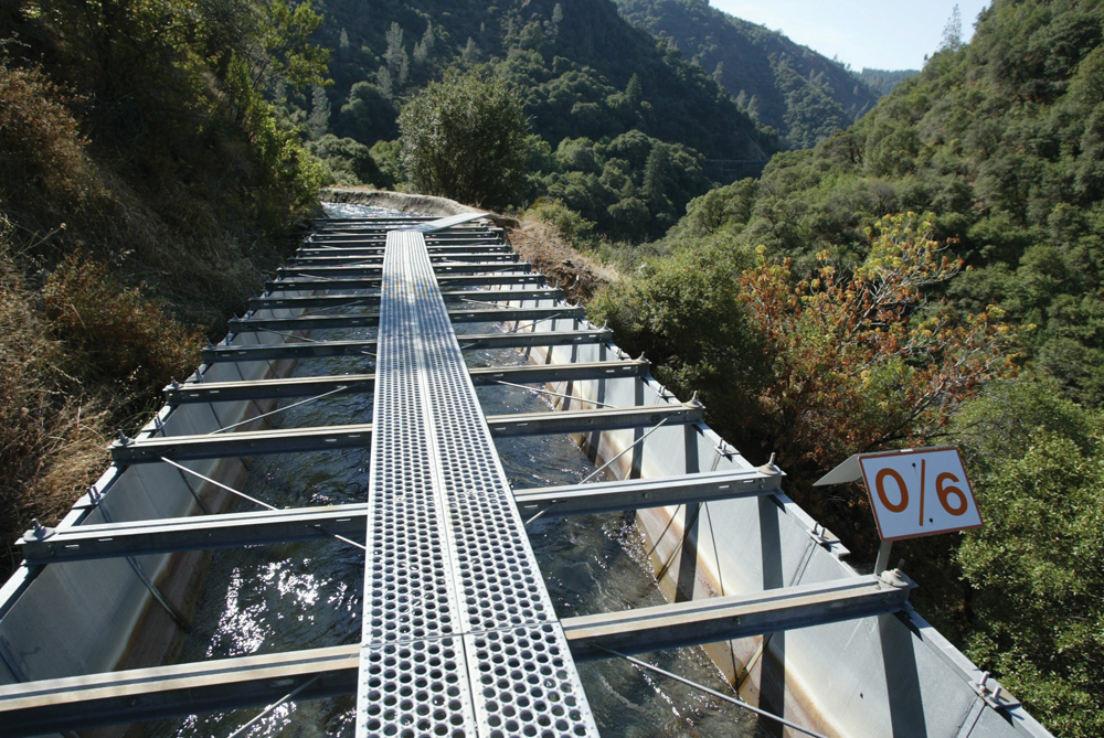
The Covered Bridge Take Out marks the end of a challenging Butte Creek whitewater run, providing a critical exit point for boaters navigating the section from Centerville Powerhouse. Paddlers should be prepared for potential current complexity near the bridge and ensure a clean, controlled approach to the take-out point, watching for potential submerged obstacles or shifting river conditions.
Location
Other Rapids on This Run (1)
View Full Run
2) Centerville Powerhouse to Covered Bridge
Butte Creek
II+
5.7 mi
Current Conditions
5-Day Forecast
Whitewater data from
American Whitewater
American Whitewater