Hazard
KY
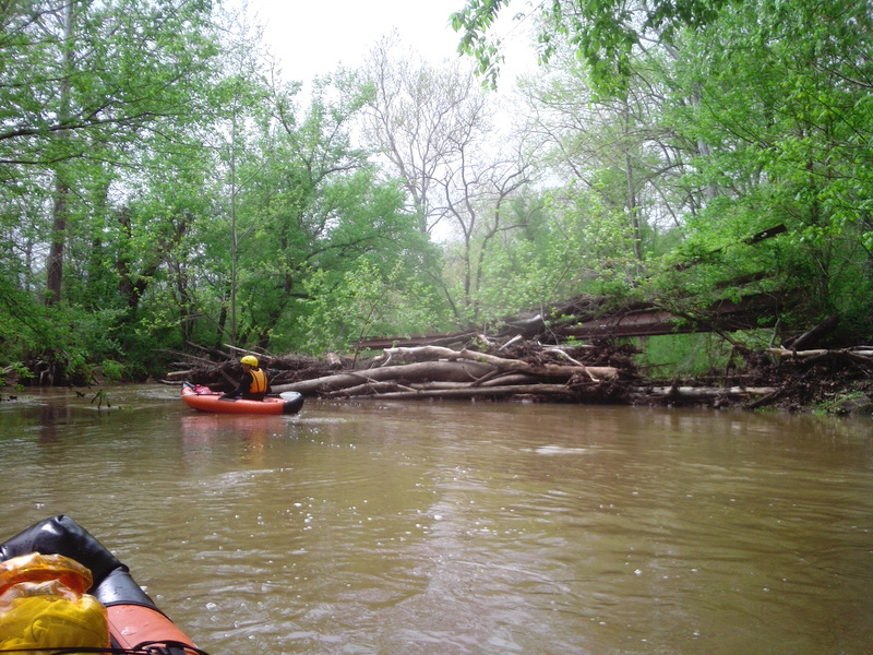
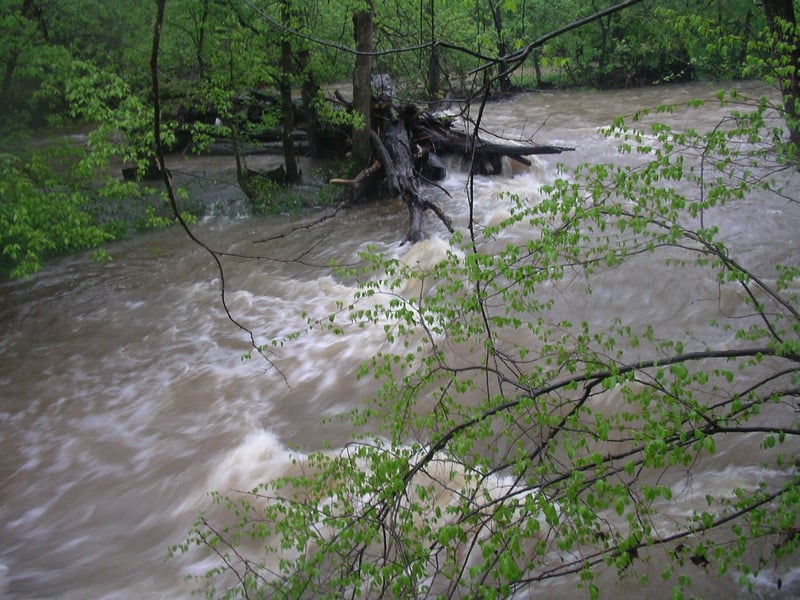
Creekwide Log Strainer
Save this feature with the run it belongs to.
Gauge Conditions
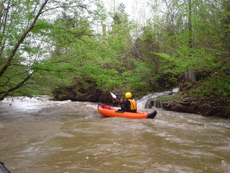
Runnable: 1.3 – 2.0 FT
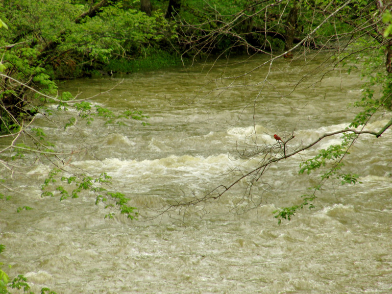
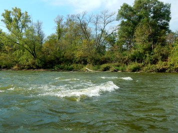
So shallow you might have to get out a few times, but at 30 CFS we had a fun scenic time and even found some whitewater.
Data from American Whitewater & USGS
Photo
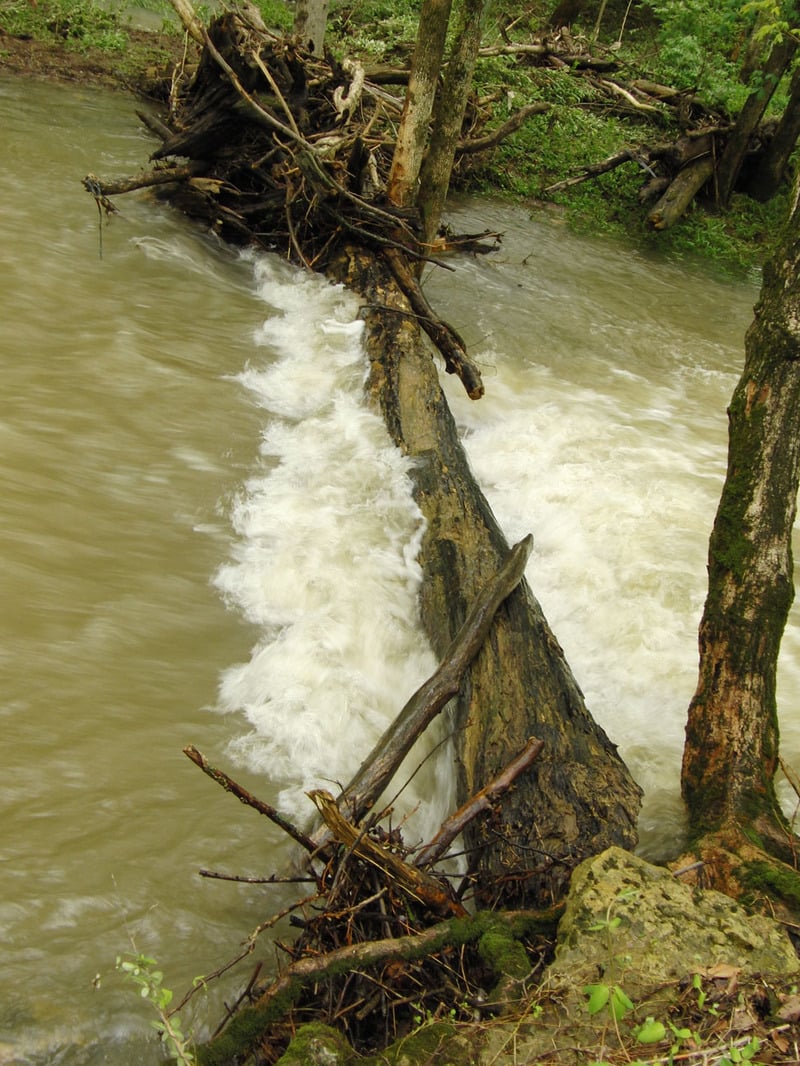
Photo courtesy of American Whitewater
Description
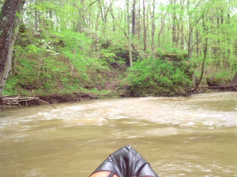
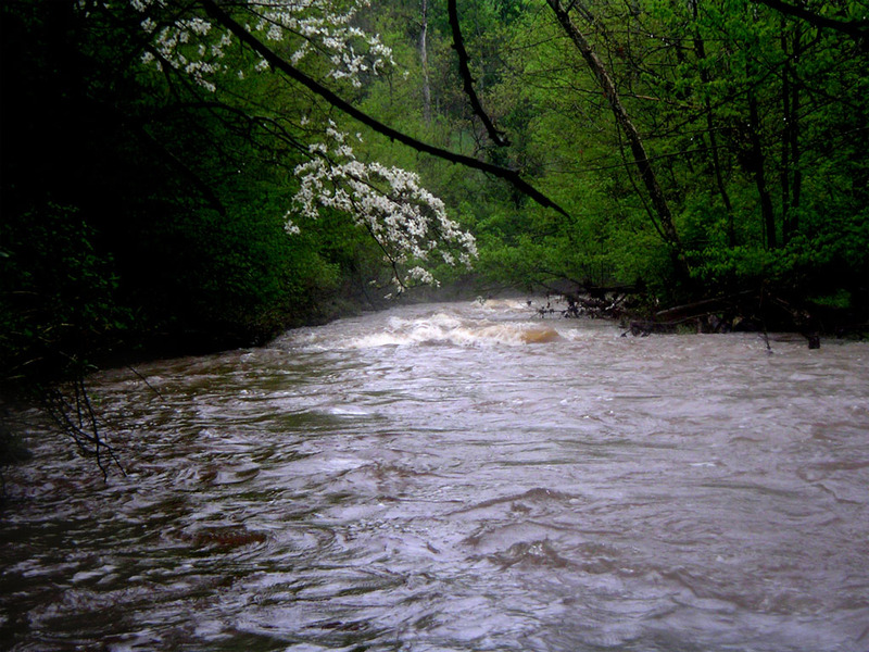
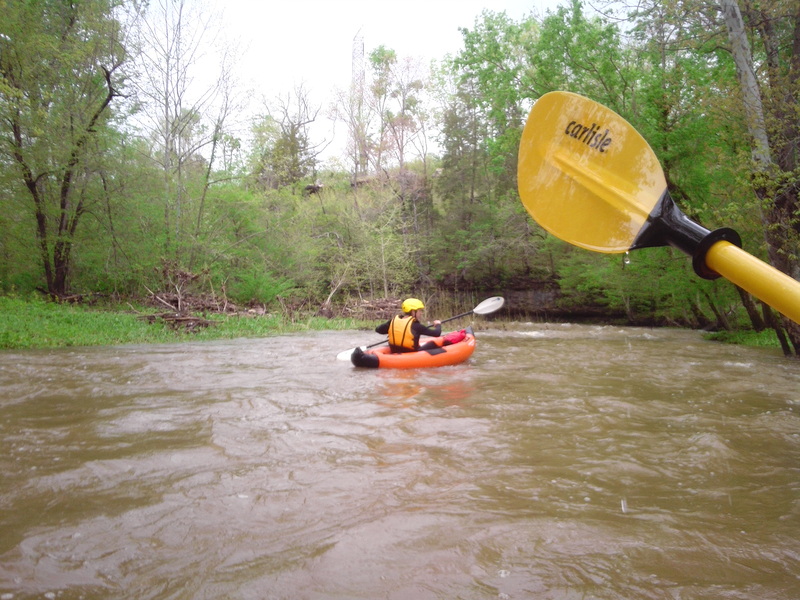
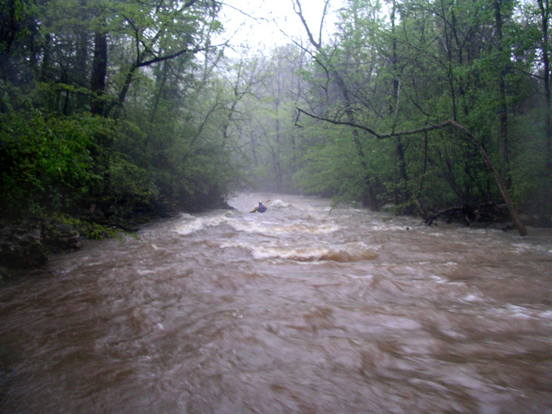
This is why running upper Cedar Creek at high water is bad for your health. Then again none of the drops are so steep and the banks are not so confined, that you wouldn't be able to pull over and scout stuff like this. This photo was taken when the gauge said 2.1 feet and going down. If it was at 2.1 feet and going up then it would most likely have been higher here since the gauge is about 3 miles downstream.
Location
Other Rapids on This Run (14)
 Rapid
N/A
Rapid
N/A
Put In
 Rapid
I
Rapid
I
Falls of Cedar Creek
 Hazard
I
Hazard
I
Sidewalk Rapids
 Hazard
N/A
Hazard
N/A
Tons of giant strainers
 Rapid
I
Rapid
I
Double Boulder
 Playspot
II
Playspot
II
Entrance Rapid
 Rapid
I
Rapid
I
Turtle Rapid
 Rapid
I
Rapid
I
Catch Me If You Can
 Hazard
N/A
Hazard
N/A
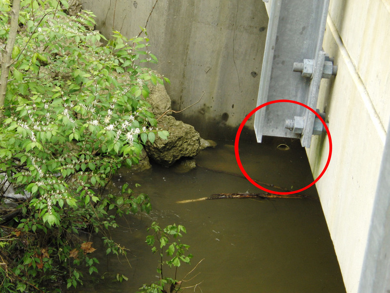
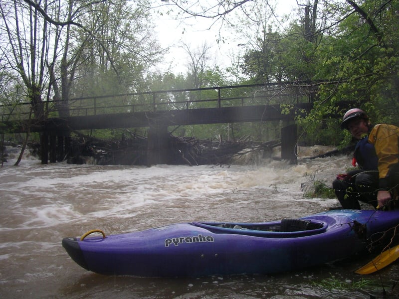
Bridge that catches wood 1
 Hazard
N/A
Hazard
N/A
Bridge that catches wood 2
 Playspot
II
Playspot
II
Roostertail Rapid
 Hazard
II
Hazard
II
The Cove Rapid
 Playspot
I
Playspot
I
River Right Surf Wave
 Rapid
N/A
Rapid
N/A
Take Out
View Full Run
Cedar Creek Rd near Johnson School Rd to Bells Mill Rd (12.2 miles)
Cedar Creek (Floyds Fork trib.)
II
12.4 mi
Hazard — Exercise extreme caution. Portage recommended — scout before running.
Current Conditions
5-Day Forecast
Whitewater data from
American Whitewater
American Whitewater