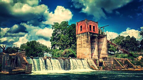
Cummings Dam
Save this feature with the run it belongs to.
Gauge Conditions
Photo
Description
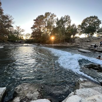
Cummings Dam was constructed in the early 20th Century in order to back water up into the Blanco, where it was diverted into canals for irrigation purposes. The dam is named for Ernest Cummings and his father James, who bought the dam and the land surrounding it in 1944. James Cummings was one of the inventors of the bulldozer.
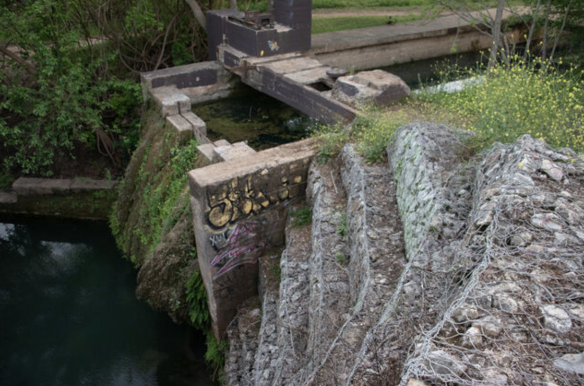
Paddler reports indicate that the Cummings family built a set of stairs at river right in recent years to facilitate portaging around the dam. Previously, it was necessary to lower boats down the dry portion of the dam at river right using ropes and then hike down a steep, narrow portage trail right next to the drop-off.
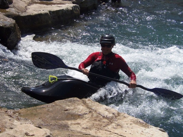
Running the twelve-foot dam is dangerous because of the hydraulic at the base and because the pillars of the dam create pockets that can trap a boat or a person behind the veil. There is also rebar and other "gungamunga" hidden under the water at the base. The dam has been run multiple times, but the general wisdom is that paddlers who choose to do so are rolling the dice. In 2010, a whitewater kayaker "penciled in" to the dam's hydraulic at about 375-400 cfs and was sucked under. He survived only because of the aforementioned pockets behind the veil (a fluke of the dam's construction), his own survival training, and the quick and efficient response by search & rescue teams. It is unknown at what level the hydraulic becomes strong enough to suck under a whitewater boat, and if there is debris on part of the dam, that will constrict the flow and make the hydraulic behave as if the flow is higher.
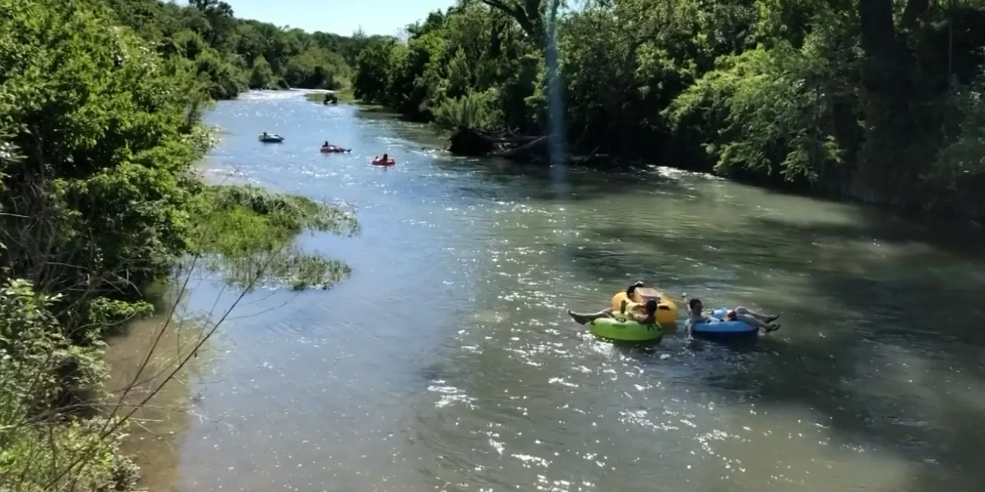
The slab at river right below the dam is a popular lunch spot for paddlers.
Location
Other Rapids on This Run (12)
 Rapid
N/A
Rapid
N/A
 Rapid
N/A
Rapid
N/A
 Rapid
N/A
Rapid
N/A
 Rapid
N/A
Rapid
N/A
 Hazard
N/A
Hazard
N/A
 Waterfall
N/A
Waterfall
N/A
Current Conditions
5-Day Forecast
American Whitewater