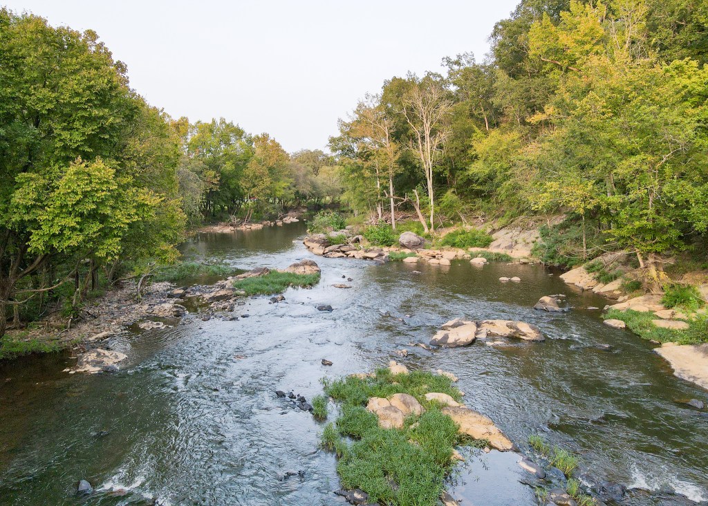
Dam at Moncure (Pullen's Falls)
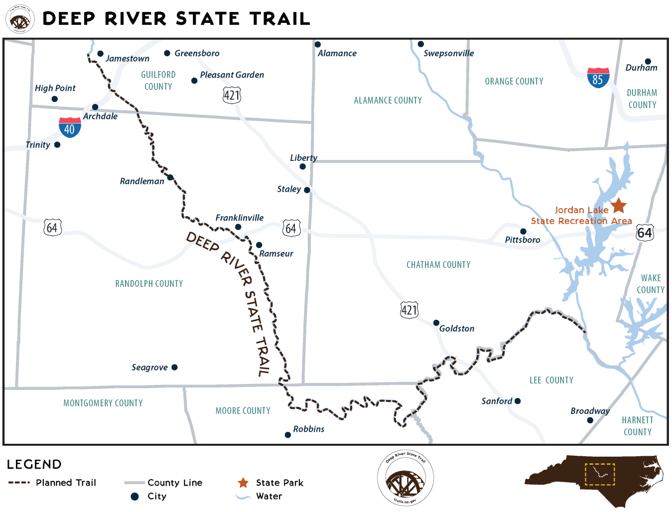
Deep - 6. US Route 15/501 Bridge to US Route 1 Bridge (NC)
Gauge Conditions
Upper limit for best boatability uncertain. Please help your fellow boaters with a comment or report.
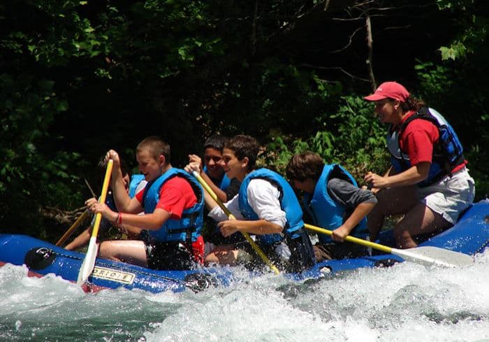
Photo

Description
Scheduled to be removed in the near future to uncover what used to be known as Pullen's Falls (The Story of the Cape Fear and Deep River Navigation Company). Just before the breach river right, get out and head away from the bank where the slope going uphill is mellower to find a portage trail up near the quarry retention wall. If water is higher than 3.5 ft, you may want to get out at a small stream right before the dam warning sign, but it will likely be muddy. Continue down the trail till you reach a small valley and you can put in below the breached dam area.
Location
Other Rapids on This Run (3)
Current Conditions
5-Day Forecast
American Whitewater