Deep Rock
Save this feature with the run it belongs to.
Gauge Conditions
Runnable: 800.0 – 6,000.0 CFS
The upper limit is an educated guess, based on historical streamflows. If you have good beta on runnable levels, please add a comment.
Data from American Whitewater & USGS
Photo
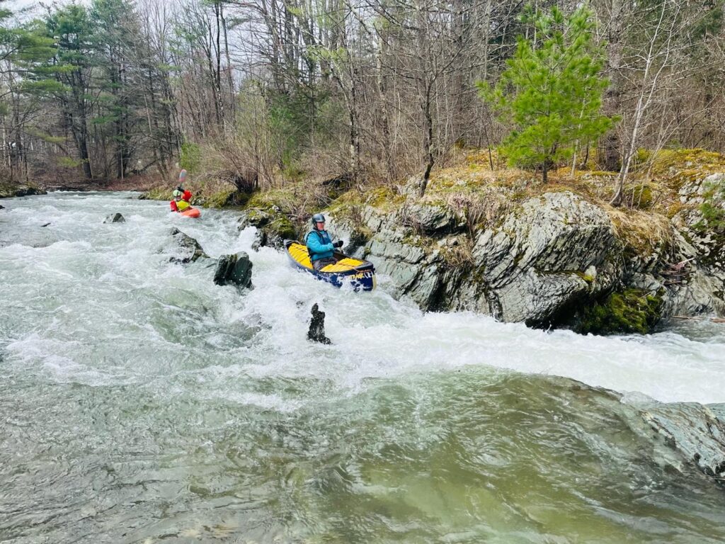
Photo courtesy of American Whitewater
Description
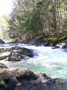
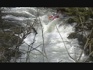
Deep Rock is a challenging Class III+ waterfall drop on the Upper Poultney with a tight, technical entrance and a steep vertical descent between large boulders. Paddlers must navigate a narrow, left-of-center line that avoids a powerful recirculating hole at the bottom and requires precise boat control through consecutive hydraulics and potential undercut rock hazards. Scouting is recommended, and successful passage demands advanced whitewater skills and the ability to make quick, decisive maneuvers in a high-consequence environment.
Location
Interactive river map
Loads as you approach this section.
View Full Run
1. Upper Poultney
Poultney
III+
3.5 mi
Current Conditions
5-Day Forecast
Whitewater data from
American Whitewater
American Whitewater