Devil's Shoals
Save this feature with the run it belongs to.
No sufficiently local live gauge linked. 1 automated match was excluded because locality could not be verified. Use the parent run and local sources before making a trip decision.
Photo

Photo courtesy of American Whitewater
Description
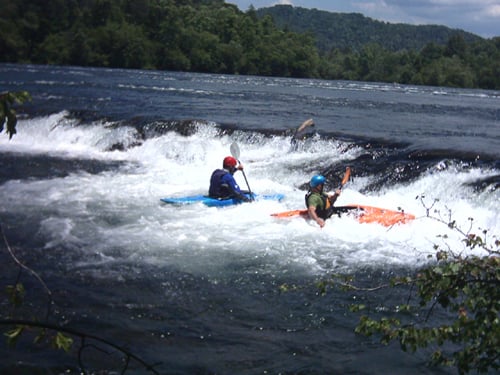
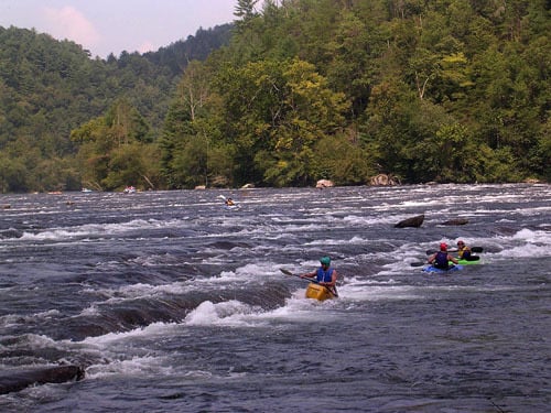
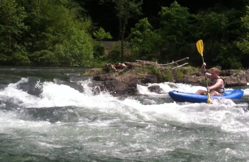
Continue down the left channel around Big Island. The channel widens and then begins to both drop over another series of ledges, as the channel constricts. The fast current and turbulent water form Devil's Shoals. As you work down the ledges, there are eddies that can be caught on the right. As you work down the rapid, a ledge appears on river left, work down the center of the channel for this last section.
Location

View Full Run
2. Apalachia Powerhouse to Reliance
Hiwassee
II
5.6 mi
Current Conditions
5-Day Forecast
Whitewater data from
American Whitewater
American Whitewater