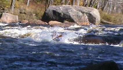
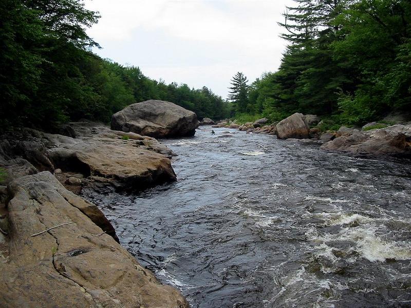
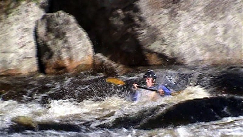
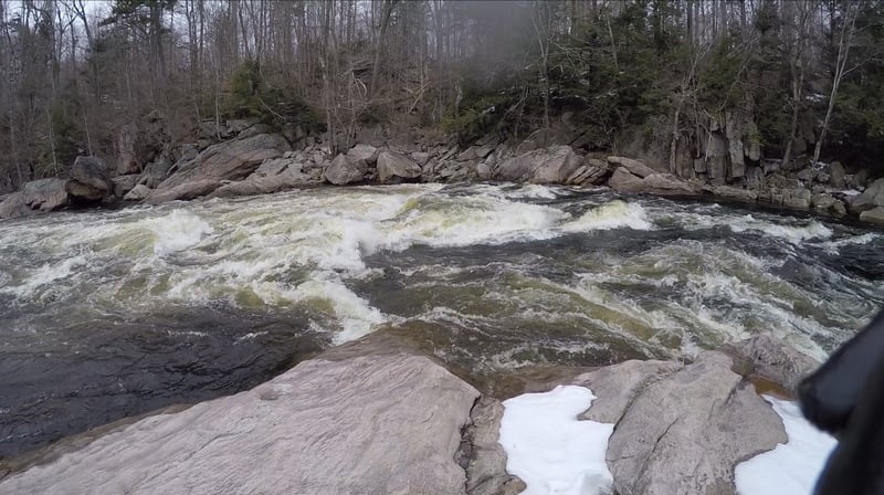
How's Your
River
×
Explore
Explore Map
Water Bodies
Gauges
Access Sites
Tidal Stations
Whitewater
Pricing
Login
Sign Up
Hazard Warning:
Hazard information may be user-submitted and unverified. Conditions change frequently. Always scout rapids and obstacles yourself.
Whitewater
New York
Moose - 1. Middle: McKeever to Rock Island
Dogleg
Rapid
NY
Class III
Dogleg
Moose - 1. Middle: McKeever to Rock Island (NY)
Monitor this Rapid
Water Body
This Run
Map
Other Rapids
Gauge
Weather
Directions
Gauge Conditions
Moose River at McKeever NY
Upstream
Primary
Runnable: 2.3 – 10.0 FT
Data from
American Whitewater
&
USGS
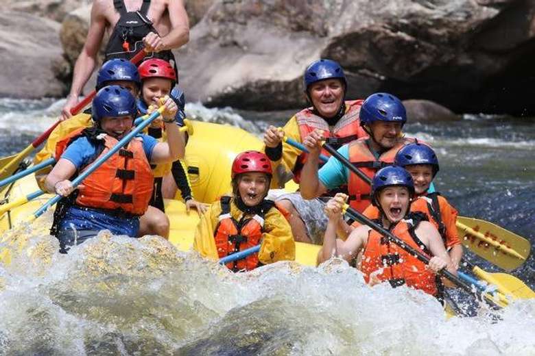
Photo
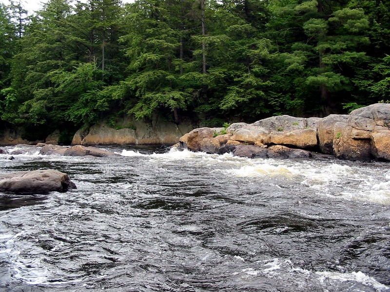
Photo courtesy of
American Whitewater
Description
Dogleg wraps hard right and then back to the left around a big rock. You can paddle right up to the first hole and pull out river left to take a closer look.
Location
Radar
Counties
Cell
Verizon
AT&T
T-Mobile
Dark
Satellite
Terrain
Other Rapids on This Run (8)
Rapid
Put-In
0.0 mi
Rapid
III
Initiation
1.0 mi
Rapid
III
House Rock
2.1 mi
Playspot
II+
Rock Island
2.7 mi
Rapid
N/A
Iron Bridge
3.1 mi
Rapid
III
Iron Bridge Rapid
3.1 mi
Rapid
II+
Ledge Rapids
3.4 mi
Rapid
N/A
Take Out (Above Tannery)
3.5 mi
Type
Rapid
Difficulty
Class III
Mile Marker
2.4 mi
Directions
Navigate
View Full Run
1. Middle: McKeever to Rock Island
Moose
III
3.5 mi
Current Conditions
5-Day Forecast
Whitewater data from
American Whitewater
Dogleg