Rapid
WI
Drainage: 206 sq.mi.
Save this feature with the run it belongs to.
Gauge Conditions
Runnable: ? – ? CFS
Approximate - nearest available gauge. Use as general reference only.
Data from American Whitewater & USGS
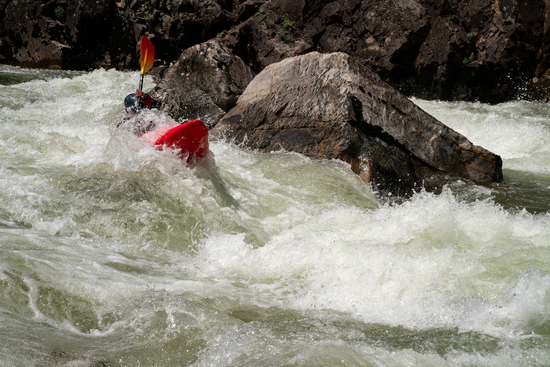
Photo
Photo courtesy of American Whitewater
Description
Drainage area at our listed put-in is approximately 206 sq.mi. (as calculated via USGS StreamStats Beta software). By our listed take-out, it has increased to 285 square miles (38% increase).
Location
Other Rapids on This Run (2)

View Full Run
Moose Lake Dam to West Fork Bridge (7.4 miles)
Chippewa, W.Fk.
I-II
7.8 mi
Current Conditions
5-Day Forecast
Whitewater data from
American Whitewater
American Whitewater