Rapid
WI
Drainage: ~22.7 sq.mi.
Save this feature with the run it belongs to.
Gauge Conditions
Runnable: 280.0 – 1,430.0 CFS
Almost certainly too low. Likely under 100 cfs.
Data from American Whitewater & USGS
Description
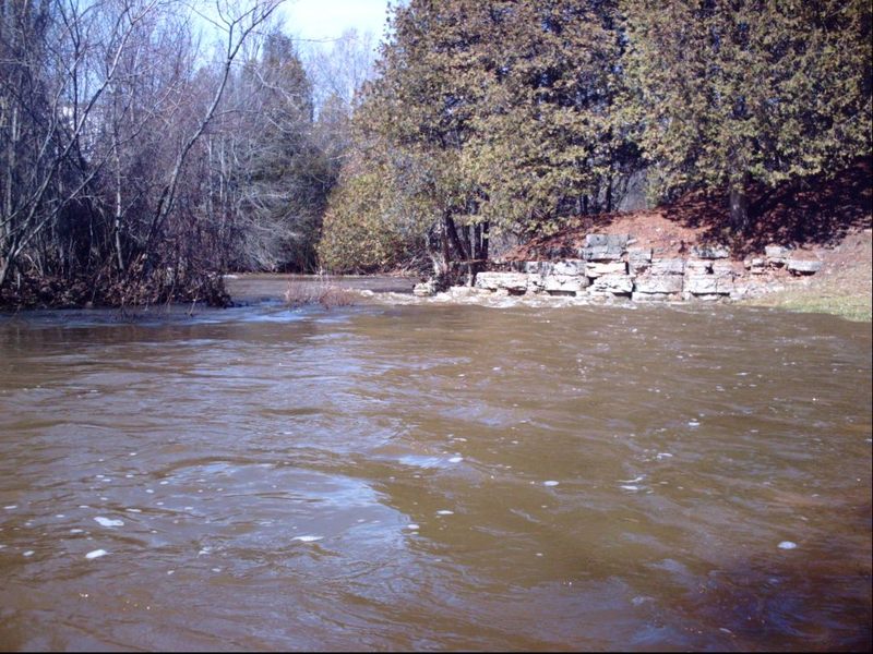
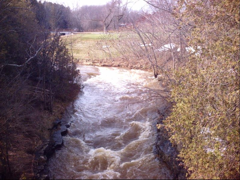
At our listed put-in, drainage is about 22.7 square miles (as calculated by USGS StreamStats 4.0 Beta software). By our take-out, it is 27.4 sq.mi. (an increase of 21%).
Our 'reference gauge' is Plum Creek near Wrightstown (about 28 miles SW), with drainage at gauge of 21.2 square miles. Thus, *IF* watersheds are similar, and are hit fairly similarly by rains, flow on School Creek *could* be very near the reading on that gauge.
Location


View Full Run
Luxemburg: Hwy.64 to Hwy.64 (4.6 miles)
School Creek
I(III)
4.5 mi
Current Conditions
5-Day Forecast
Whitewater data from
American Whitewater
American Whitewater