Rapid
WI
Drainage: ~317 sq.mi.
Save this feature with the run it belongs to.
Gauge Conditions
Runnable: 250.0 – 1,200.0 CFS
Likely low to moderate flows. (Uncertain! Please help your fellow boaters by adding a comment about best flows, and class/difficulty at various flows!)
Data from American Whitewater & USGS
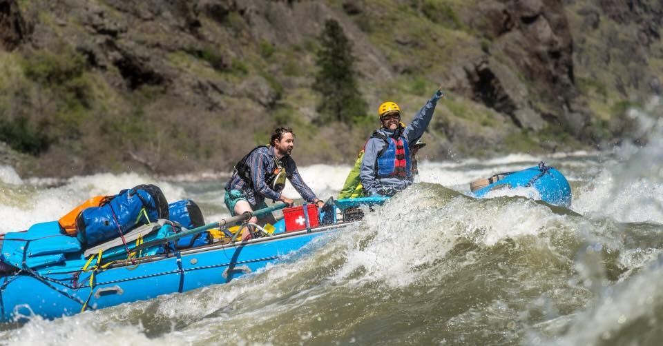
Photo

Photo courtesy of American Whitewater
Description
Drainage area at our listed put-in is approximately 317 sq.mi. (as calculated via USGS StreamStats Beta software). By our listed take-out, (with the confluence with the Elk River just upstream) it has increased to 615 square miles (94% increase).
As mentioned on the Flows tab, a USGS gauge exists many miles downriver (with drainage area of 1860 sq.mi.), where flow has been controlled by a number of dams. Thus that gauge is likely of very little value to estimate flows here.
Location
Interactive river map
Loads as you approach this section.


View Full Run
D) CTH.F (Lugerville) to CTH.W (9 miles)
Flambeau, S.Fk.
I-II
9.3 mi
Current Conditions
5-Day Forecast
Whitewater data from
American Whitewater
American Whitewater