Drainage: 5.3 sq.mi.
Save this feature with the run it belongs to.
Gauge Conditions
Approximate - nearest available gauge. Use as general reference only.
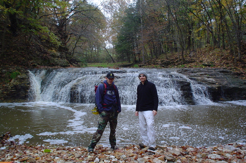
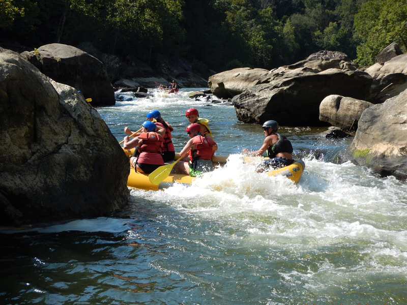
Photo

Description
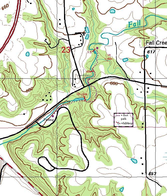
Drainage area at our listed put-in is approximately 5.3 sq.mi. (as calculated via USGS StreamStats Beta software). As stated in the main description, this is a very small creek, which will take major snowmelt or heavy rains to bring this small a watershed to boatable flows. And, it means that flows will run out fairly quickly. (The 'window of opportunity' may be as little as an hour or two after a rain.)
The nearest gauge (on a relatively similar size creek) is in Missouri, only 10 miles to the southwest. Bear Creek has 31 square miles drainage at its gauge. Thus flow here (on Fall Creek) could be about 1/6th the reported flow from that gauge. Correlations are not assured, but it should give a decent indication of likelihood of boatable flows here. If you check out this run (or actually boat it), please post a trip report, stating reported flow (from Bear Creek gauge), and your impressions of Fall Creek (too low, low-boatable, medium-boatable, high-boatable, or scary high).
Location

Current Conditions
5-Day Forecast
American Whitewater