Rapid
WI
Drainage area: 73.5 square miles
Save this feature with the run it belongs to.
Gauge Conditions
Runnable: ? – ? CFS
Approximate - nearest available gauge. Use as general reference only.
Data from American Whitewater & USGS
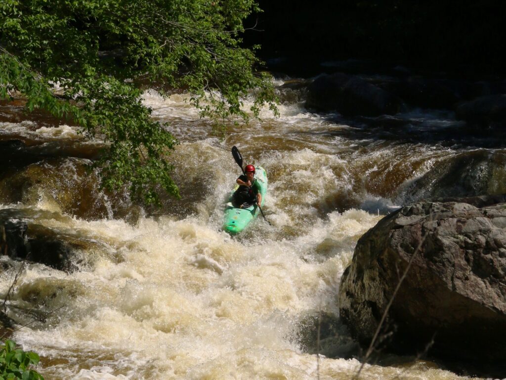
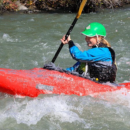
Photo
Photo courtesy of American Whitewater
Description
As calculated by USGS Streamstats V4.3.11, drainage at our listed put-in is 73.5 square miles.By our take-out, it is 88.7 square miles, an increase of ~20%.
NOTE: Since the Brunet has no active online gauge, we have set up a 'virtual gauge' using the S.Fk.Flambeau near Phelps, using relative drainage areas.While that gauge is ~20 miles away, and the Chippewa at Bishops Bridge near Winter is much closer, 'the Chip' has dams regulating the flow (resulting in a very artificially 'stepped' flow pattern), whereas the Flambeau is not subject to that drastic regulation.
As with any virtual gauge, it will not have nearly the accuracy for portraying boatable flows (compared to a real gauge on a section of river). Therefore, EXPECT that there will be (perhaps numerous) occasions when the virtual gauge will be wrong (showing this section as 'runnable' when it is not, etc). That said, we feel ANY sort of gauge/indicator should be better than having NO gauge/indicator.
Location
Other Rapids on This Run (2)
View Full Run
Hanson Road to Hwy.27 at Town Line Road (6.5 miles)
Brunet
I-II(III)
6.3 mi
Current Conditions
5-Day Forecast
Whitewater data from
American Whitewater
American Whitewater