Rapid
MI
Drainage area ~9.75 square miles.
Save this feature with the run it belongs to.
Gauge Conditions
Runnable: ? – ? CFS
Approximate - nearest available gauge. Use as general reference only.
Data from American Whitewater & USGS
Photo
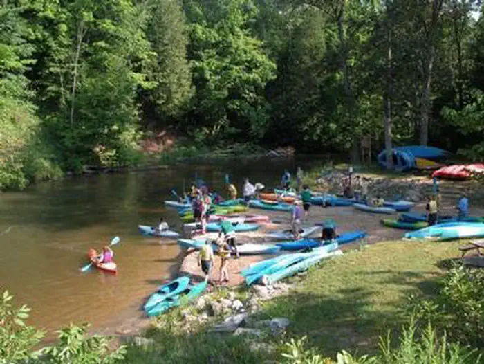
Photo courtesy of American Whitewater
Description
The rapid on the Ravine River between Major Rd and Skanee Rd presents limited known details, with an upstream drainage area of approximately 9.75 square miles suggesting potential variable flow conditions. Specific characteristics such as notable wave formations, rock gardens, or technical lines cannot be confidently described without direct reconnaissance or local paddler reports.
Location
Interactive river map
Loads as you approach this section.
Other Rapids on This Run (3)

View Full Run
Major Rd to Skanee Rd (6.6 miles)
Ravine
II-III
6.7 mi
Current Conditions
5-Day Forecast
Whitewater data from
American Whitewater
American Whitewater