Take-out
CA
East Fork Confluence Take Out
Save this feature with the run it belongs to.
CDEC Flow Data California
Data from California Data Exchange Center (CDEC)
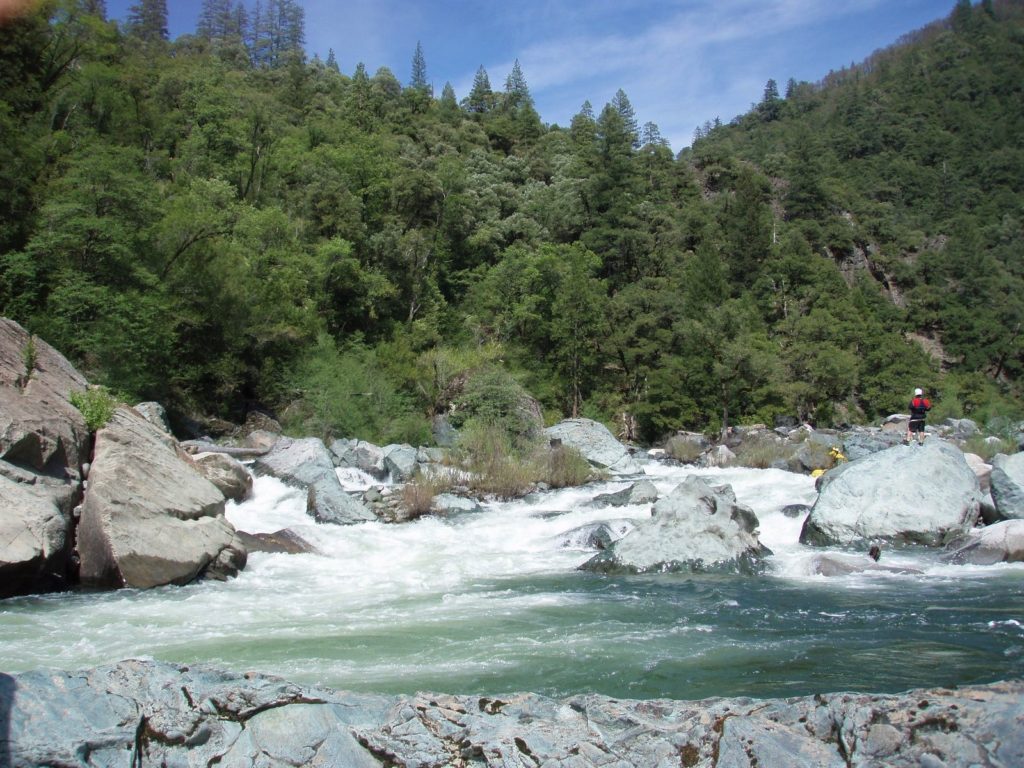
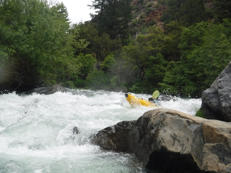
Photo
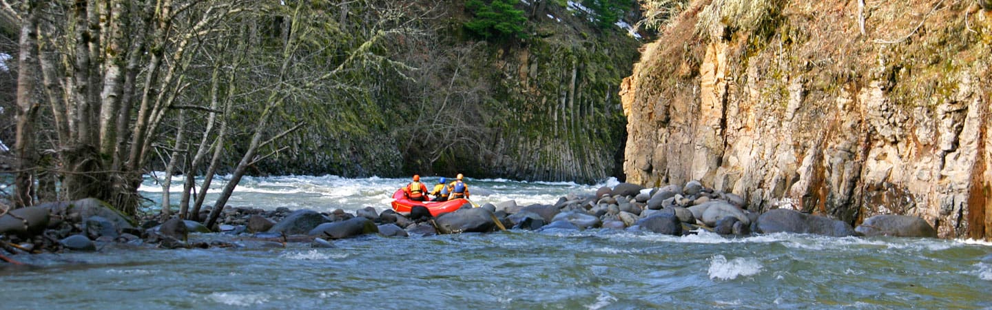
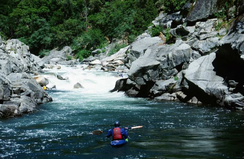
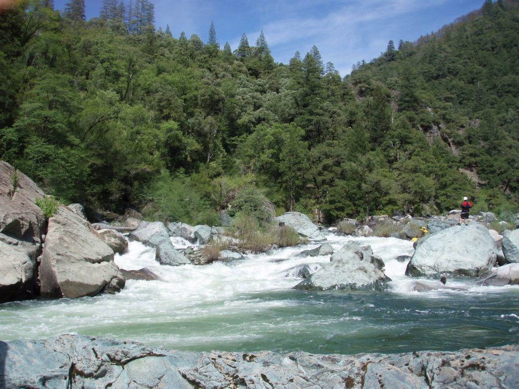
Photo courtesy of American Whitewater
Description
The reach ends at the confluence of the East Fork at Highway 70. As an alternative, you can continue downstream and take out at Belden.
Location
Interactive river map
Loads as you approach this section.

View Full Run
1) Caribou to East Branch Confluence
Feather, N. Fork
IV
7.4 mi
Current Conditions
5-Day Forecast
Whitewater data from
American Whitewater
American Whitewater