Rapid
WI
Eddy Creek (confluence, from left)
Save this feature with the run it belongs to.
Gauge Conditions
Runnable: ? – ? CFS
Approximate - nearest available gauge. Use as general reference only.
Data from American Whitewater & USGS
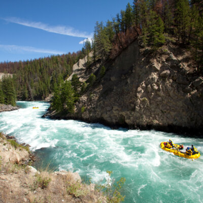
Photo
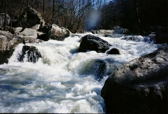
Photo courtesy of American Whitewater
Description
(Not significant, just a 'waypoint'.)Also, at this point, Hwy.70 and the Tuscobia Park Trail are both almost immediately on river-left.
Location


View Full Run
Couderay Village Park to Chippewa River ( 7.6 miles)
Couderay
I-II
7.6 mi
Current Conditions
5-Day Forecast
Whitewater data from
American Whitewater
American Whitewater