Rapid
TX
End of Boquillas Canyon Trail
Save this feature with the run it belongs to.
Gauge Conditions
Runnable: 200.0 – 3,000.0 CFS
Low boatable.
Data from American Whitewater & USGS
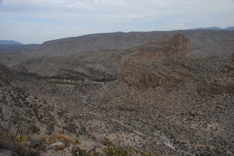
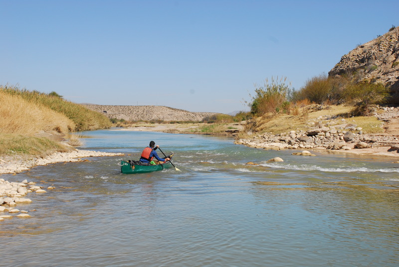
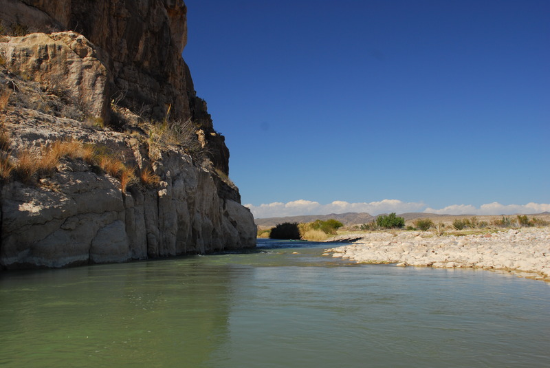
Photo
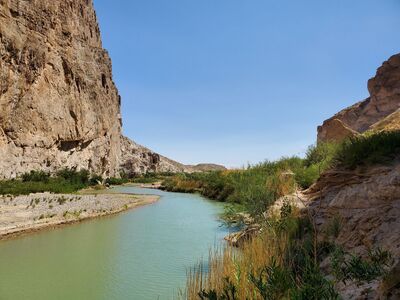
Photo courtesy of American Whitewater
Description
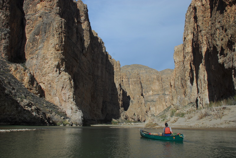
The end of Boquillas Canyon Trail marks a remote and challenging section of the Rio Grande, where paddlers must navigate tight canyon walls and potential debris. While specific rapid details are limited, the area is known for its unpredictable water levels, potential flash flooding, and the need for careful route-finding through potential rock obstacles and narrow passages.
Location
Other Rapids on This Run (13)
 Rapid
N/A
Rapid
N/A
Rio Grande Village River Access
Rapid
N/A
Boquillas Port of Entry
 Rapid
N/A
Rapid
N/A
Boquillas del Carmen
Rapid
N/A
Boquillas Canyon Overlook
 Rapid
N/A
Rapid
N/A
Boquillas Canyon Entrance
 Rapid
N/A
Rapid
N/A
Marufo Vega Trail
 Rapid
N/A
Rapid
N/A
Mouth of Boquillas Canyon
 Rapid
N/A
Rapid
N/A
Heath Creek Confluence
 Rapid
N/A
Rapid
N/A
Exit Big Bend National Park
 Rapid
N/A
Rapid
N/A
Stillwell Crossing
 Rapid
II
Rapid
II
Arroyo del Veinte
 Rapid
N/A
Rapid
N/A
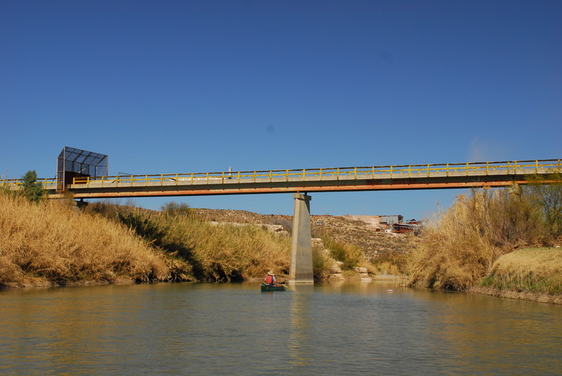
Gerstacker Bridge
 Rapid
N/A
Rapid
N/A
Heath Canyon Ranch Access at La Linda
View Full Run
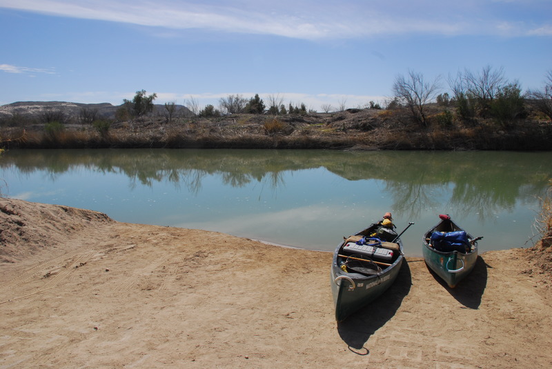
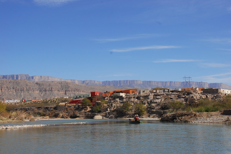
6. Rio Grande Village to La Linda (34.5 miles)
Rio Grande
I-II
34.6 mi
Current Conditions
5-Day Forecast
Whitewater data from
American Whitewater
American Whitewater