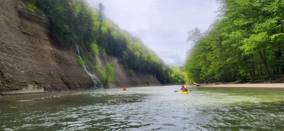
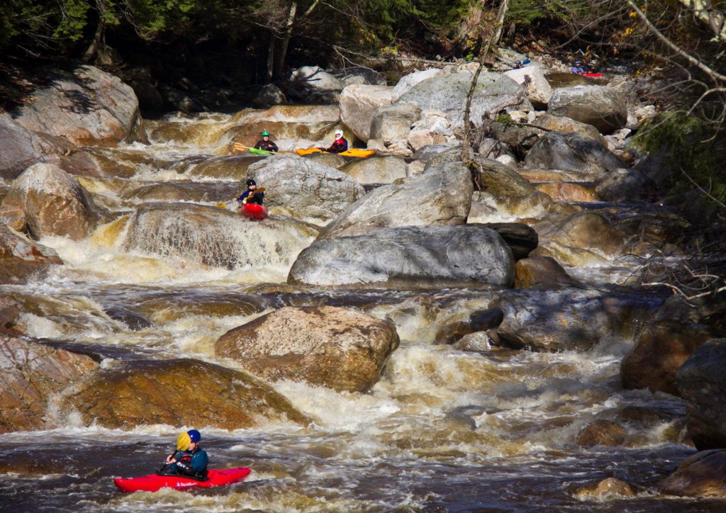
Rapid
NY
Entering ALC Land
Save this feature with the run it belongs to.
Gauge Conditions
Data from American Whitewater & USGS
Description
Determined using Herkimer County parcel GIS. ALC has two large contiguous parcels that contain the South Branch
https://herkimercounty.sdgnys.com/propdetail.aspx?swis=215400&printkey=04800000010140000000
https://herkimercounty.sdgnys.com/propdetail.aspx?swis=215400&printkey=04100000010709000000
Location
Other Rapids on This Run (3)

View Full Run
Rock Dam to McKeever
Moose, S. Branch
II-IV
22.1 mi
Current Conditions
5-Day Forecast
Whitewater data from
American Whitewater
American Whitewater