How's Your
River
×
Explore
Explore Map
Water Bodies
Gauges
Access Sites
Tidal Stations
Whitewater
Pricing
Login
Sign Up
Hazard Warning:
Hazard information may be user-submitted and unverified. Conditions change frequently. Always scout rapids and obstacles yourself.
Whitewater
Colorado
Eagle River - 02. Redcliff to Tigiwon Rd/FR 707
Fall Creek Rapid
Waterfall
CO
Class V
Fall Creek Rapid
Eagle River - 02. Redcliff to Tigiwon Rd/FR 707 (CO)
Monitor this Rapid
Water Body
This Run
Map
Other Rapids
Gauge
Weather
Directions
Gauge Conditions
Eagle River near Minturn, CO
Downstream
Primary
Runnable: 275.0 – 2,000.0 CFS
Data from
American Whitewater
&
USGS
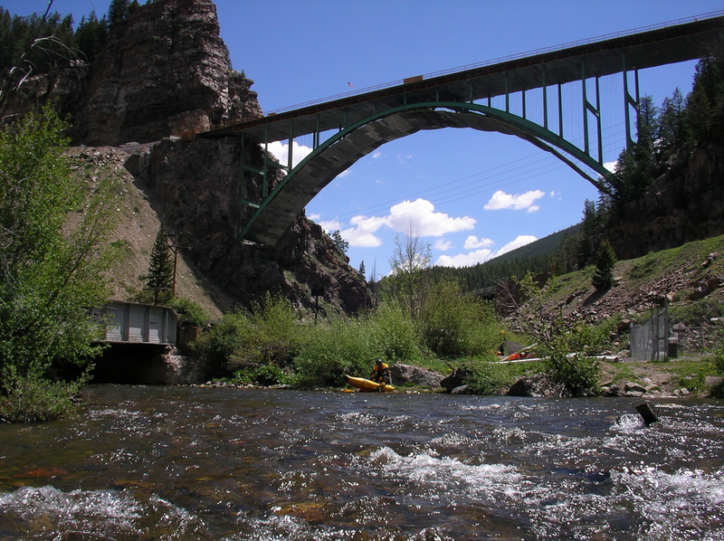
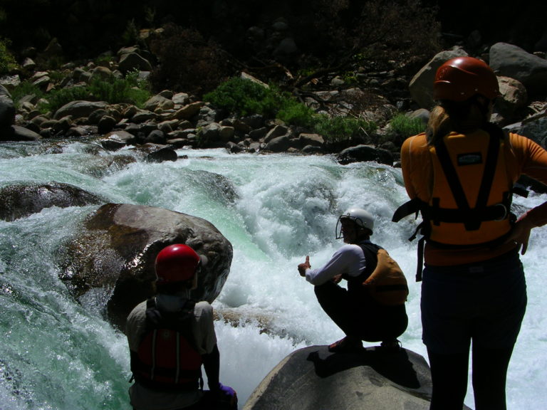
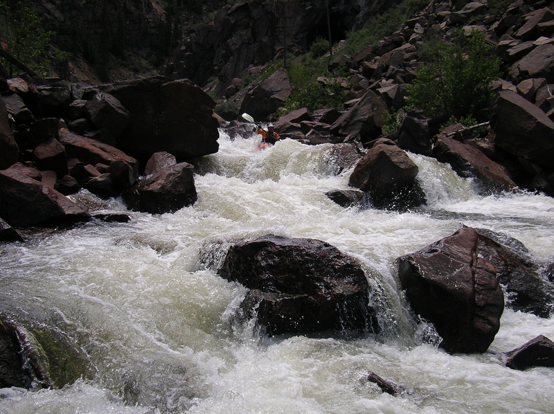
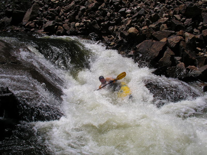
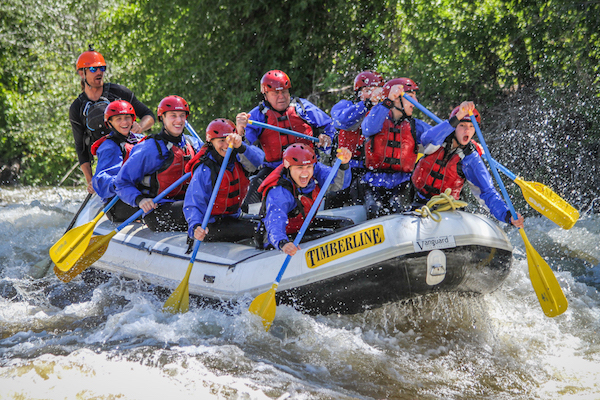
Photo
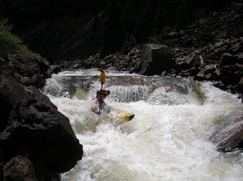
Photo courtesy of
American Whitewater
Description
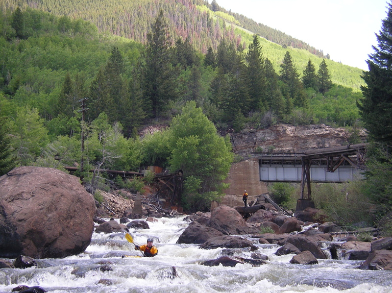
Starts at railroad overpass. Fall Creek comes in on the left. Longest rapid of the run. Builds up to 10' crux drop about 2/3 of the way down, which becomes a sticky hole at higher flows. Technical run-out. Scout before the bridge or just after.
Location
Radar
Counties
Cell
Verizon
AT&T
T-Mobile
Dark
Satellite
Terrain
Other Rapids on This Run (10)
Rapid
Put-in
0.0 mi
Rapid
IV
Upper Half
0.0 mi
Rapid
N/A
Gilman Mine
2.0 mi
Waterfall
IV
S-turn Rapid
2.5 mi
Waterfall
IV+
Boof Rapid
2.6 mi
Waterfall
IV
Tower Rapid
2.8 mi
Rapid
IV
Boogie Water
3.0 mi
Rapid
II
Slackwater
3.1 mi
Waterfall
V+
Slurry Pipe Rapid
3.6 mi
Rapid
Take-out
4.0 mi
Type
Waterfall
Difficulty
Class V
Mile Marker
2.2 mi
Directions
Navigate
View Full Run
02. Redcliff to Tigiwon Rd/FR 707
Eagle River
IV-V(V+)
4.4 mi
Current Conditions
5-Day Forecast
Whitewater data from
American Whitewater
Fall Creek Rapid