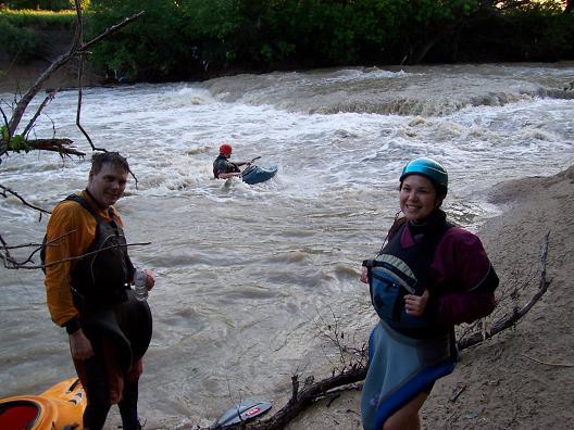
First Ledge
Save this feature with the run it belongs to.
Gauge Conditions
Data from American Whitewater & USGS


View Full Run
Ben Davis Rd to Pleasant Valley Rd (1.6 miles)
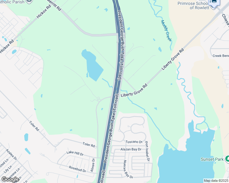
Rowlett Creek
II-III
1.6 mi
Current Conditions
5-Day Forecast
Whitewater data from
American Whitewater
American Whitewater