Gauge Conditions
Runnable: ? – ? CFS
Approximate - nearest available gauge. Use as general reference only.
Data from American Whitewater & USGS
Photo

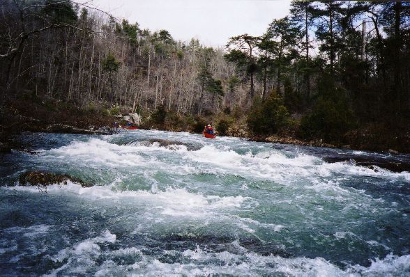
Photo courtesy of American Whitewater
Description
First of two county road crossings at Murray. Park on river left in the pull-out area or on river right at Willis Park or the community center depending on how you came down the hill. Right heads upto Wayton, Left heads up to Hwy 16 at Swain.
Alternate take-out is 1.2 miles downstream at the next crossing which exits river left up to Hwy 21 at Mossville.
Location


View Full Run
Deer to Murray (7.3 miles)
Little Buffalo, East Fork
III-IV(V+)
7.4 mi
Current Conditions
5-Day Forecast
Whitewater data from
American Whitewater
American Whitewater