Take-out
NC
Fletcher Martin Road Bridge Take-Out
Save this feature with the run it belongs to.
Gauge Conditions
Runnable: 500.0 – 5,000.0 CFS
500 to 5K is the runnable range for a typical boater running from Woodfin Park to below the Ledges or to the Alexander bridge.
Data from American Whitewater & USGS
Photo
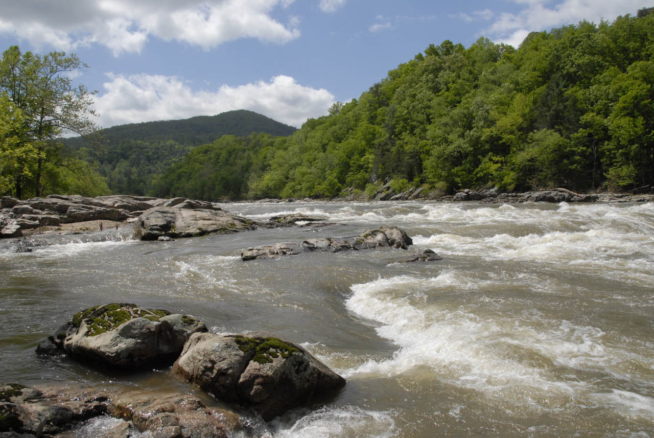
Photo courtesy of American Whitewater
Description
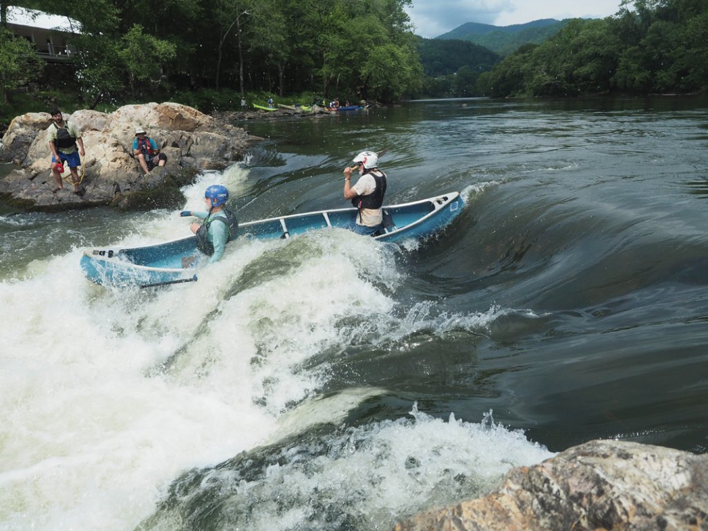
The Fletcher Martin Road Bridge Take-Out marks the end of this section of the French Broad River, providing a straightforward exit point for paddlers completing this run. While not a rapid itself, this location serves as a critical access point and takeout zone, requiring careful navigation to ensure a safe and efficient exit from the river.
Location
Interactive river map
Loads as you approach this section.
View Full Run
6. NC Route 251 to Route 1634
French Broad
I-III
8.6 mi
Current Conditions
5-Day Forecast
Whitewater data from
American Whitewater
American Whitewater