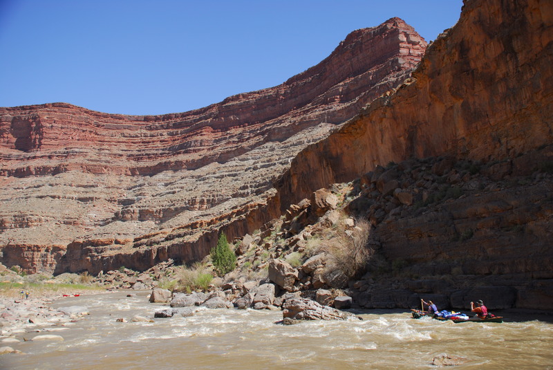
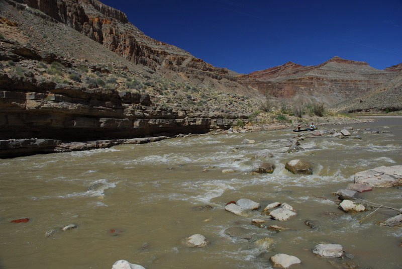
How's Your
River
×
Explore
Explore Map
Water Bodies
Gauges
Access Sites
Tidal Stations
Whitewater
Pricing
Login
Sign Up
Hazard Warning:
Hazard information may be user-submitted and unverified. Conditions change frequently. Always scout rapids and obstacles yourself.
Whitewater
Utah
San Juan - 01. Sand Island to Mexican Hat
Four Foot Rapid
Rapid
UT
Class II
Four Foot Rapid
San Juan - 01. Sand Island to Mexican Hat (UT)
Monitor this Rapid
Water Body
This Run
Map
Other Rapids
Gauge
Weather
Directions
Gauge Conditions
San Juan River near Bluff, UT
Downstream
Primary
Runnable: 500.0 – 8,000.0 CFS
Data from
American Whitewater
&
USGS
Photo
Photo courtesy of
American Whitewater
Description
A class II read and run or scout from river right.
Location
Radar
Counties
Cell
Verizon
AT&T
T-Mobile
Dark
Satellite
Terrain
Other Rapids on This Run (4)
Rapid
N/A
Put In
0.0 mi
Rapid
II
Eight-Foot Rapid
17.2 mi
Rapid
II
Ledge Rapid
19.3 mi
Rapid
N/A
Take Out
26.5 mi
Type
Rapid
Difficulty
Class II
Mile Marker
11.7 mi
Directions
Navigate
View Full Run
01. Sand Island to Mexican Hat
San Juan
II
26.9 mi
Current Conditions
5-Day Forecast
Whitewater data from
American Whitewater
Four Foot Rapid