Gauge Conditions
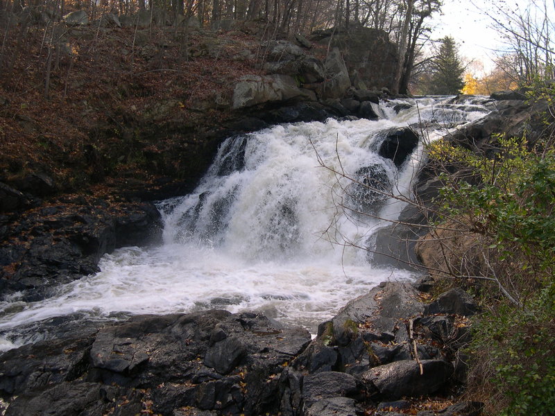
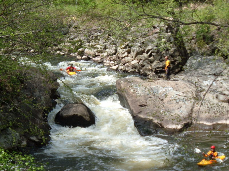
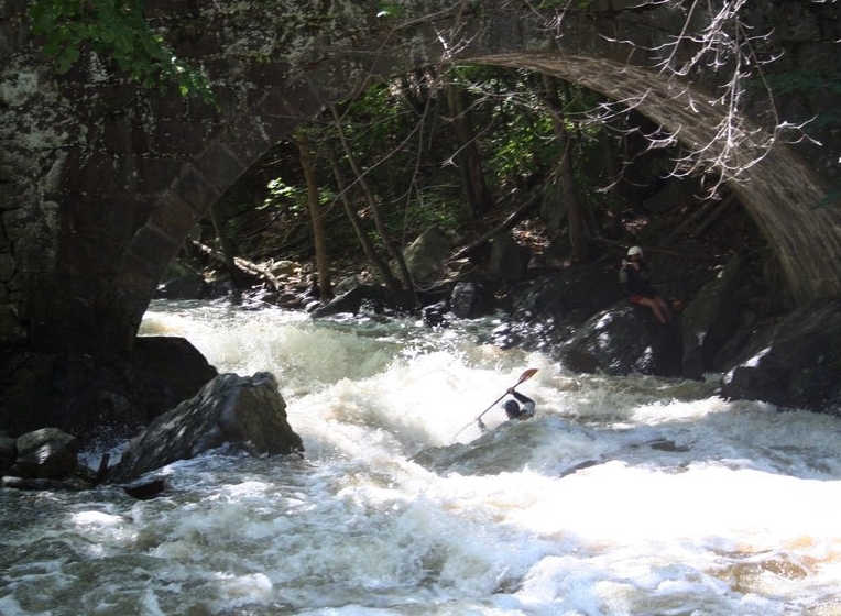
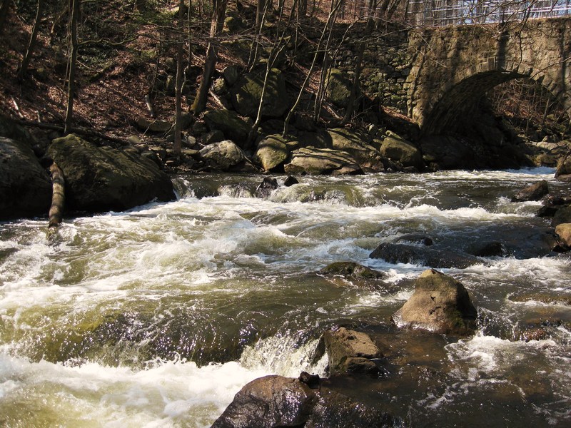
Photo

Description
There is an eddy with a gravel beach above the gauging station weir on river right and this is the side to take out on to carry or scout. At lower levels (<3.0') there is a small last ditch eddy behind a midstream rock about 10 feet above the weir. There is also a small eddy on river left, but at higher levels the ferry back across to river right could be an issue. Of course at high levels, you can actually run down the extreme left to avoid the hole.
The gauging station weir is a low head dam situation, but not a terribly bad one. At low levels it is at it's most vertical, but is less powerful due to the lower volume. From about 2.7-3.5' it is probably most hazardous. I have run it at these levels, but running it without enough speed, or with the wrong boat alignment would probably put you into the hole. The main outwash is in the center of the dam due to rocks below it on either side. That is also the spot where the boil line is furthest from the face. As the water level rises, the weir eventually becomes a breaking wave at around 5'/2200cfs'?
Location
Current Conditions
5-Day Forecast
American Whitewater