Rapid
MN
Government Road
Save this feature with the run it belongs to.
Gauge Conditions
Runnable: ? – ? CFS
Approximate - nearest available gauge. Use as general reference only.
Data from American Whitewater & USGS
Photo

Photo courtesy of American Whitewater
Description
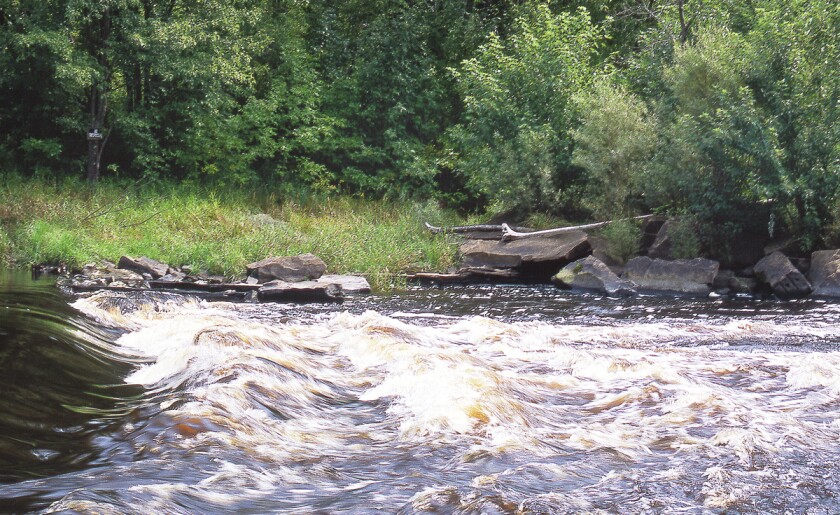
Government Road Rapid marks a key transition point on the Grindstone River, characterized by scattered boulder clusters and a moderate gradient that demands precise boat positioning. Paddlers should be prepared to navigate tight channels between rock formations and anticipate potential hydraulic features that can develop at varying water levels.
Location
Interactive river map
Loads as you approach this section.
Other Rapids on This Run (9)
 Rapid
N/A
Rapid
N/A
Drainage: ~77 sq.mi.
 Rapid
N/A
Rapid
N/A
Put In
 Rapid
N/A
Rapid
N/A
Old Hwy.61 / St.Croix Scenic Byway
 Rapid
N/A
Rapid
N/A
Hwy.35 / "Monarch Highway"
 Rapid
N/A
Rapid
N/A
Morris Ave
 Rapid
N/A
Rapid
N/A
Hwy.48 / Fire Monument Road (First Crossing)
 Rapid
N/A
Rapid
N/A
Hwy.48 / Fire Monument Road (Second Crossing)
 Rapid
N/A
Rapid
N/A
Kettle River Confluence
 Rapid
N/A
Rapid
N/A
Take Out
View Full Run
Hinckley Dam to Kettle River/Hwy.48 (8.4 miles)
Grindstone
I-II
8.2 mi
Current Conditions
5-Day Forecast
Whitewater data from
American Whitewater
American Whitewater