Gragg Prong Falls (Dragstrip)
Save this feature with the run it belongs to.
Gauge Conditions
Approximate - nearest available gauge. Use as general reference only.
Photo
Description
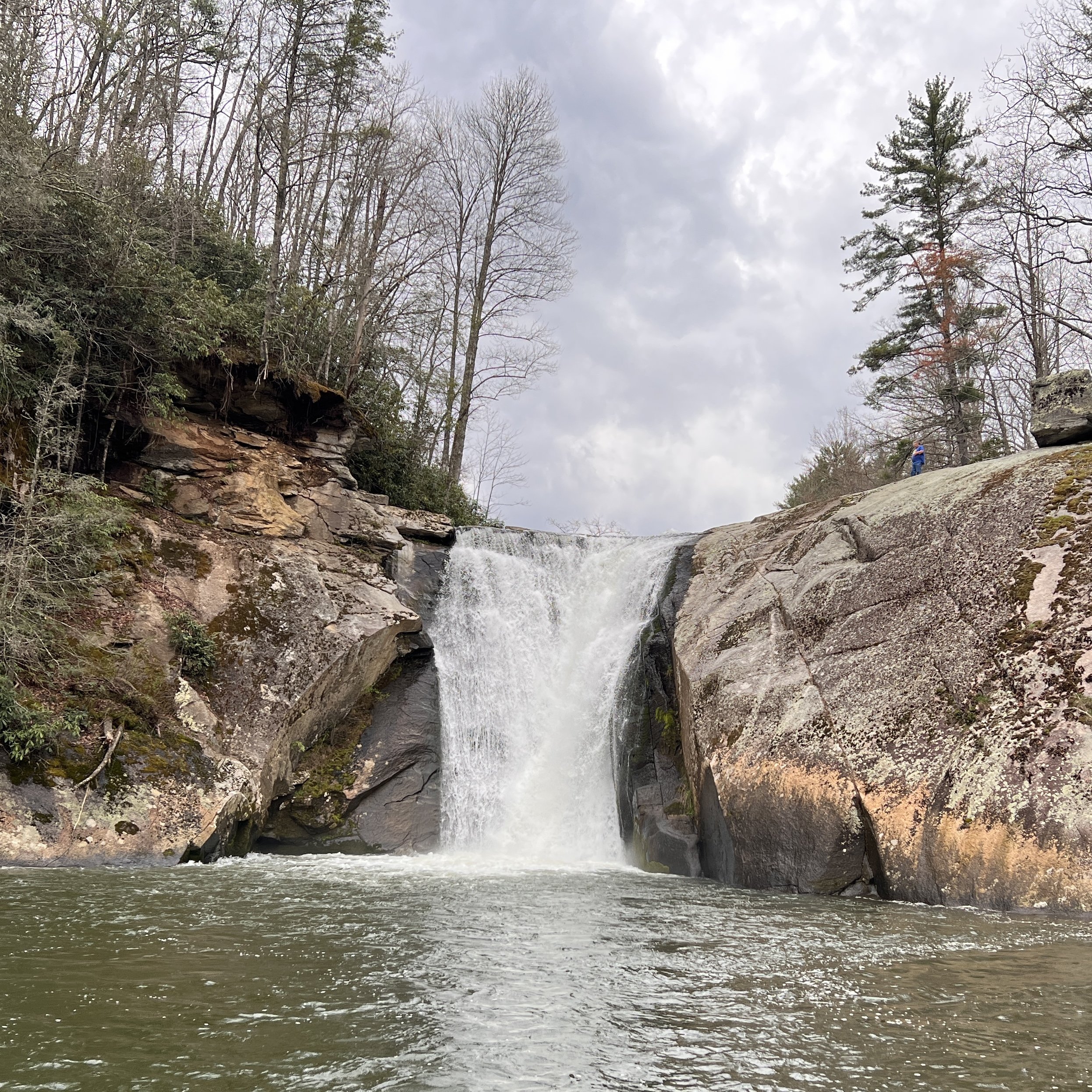
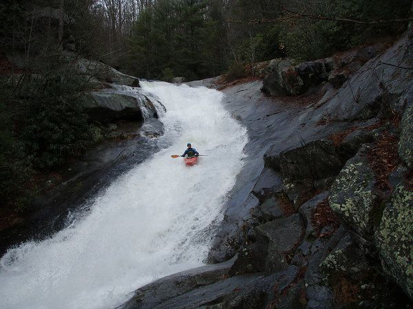
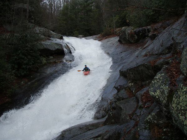
The biggest drop, Dragstrip, comes at the end of the steep section. It comes after a long, multi-tiered, multi-channeled slide with an overhanging rock at the top on river left. Some folks scout this drop and the Dragstrip in one trip. The Mountains-to-Sea Trail on river left makes covering the distance down to the Dragstrip easy. The horizon line of the Dragstrip is not entirely obvious from river level because the entrance is occluded by foliage and some large boulders. Fortunately, there are last-chance eddies on both sides of the creek. Both left and right lines are possible. The right line at high water involves a pretty dynamic direction change. The left line at low water is a bit thin.
Location
Other Rapids on This Run (4)
Current Conditions
5-Day Forecast
American Whitewater