Rapid
ID
Highway 12 Bridge Access
Save this feature with the run it belongs to.
No sufficiently local live gauge linked. 1 automated match was excluded because the closest is 29.4 miles away. Use the parent run and local sources before making a trip decision.
Photo
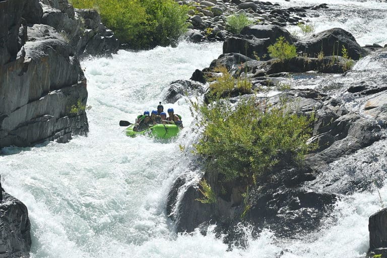
Photo courtesy of American Whitewater
Description
Intermediate access point on the downstream river left side of the bridge. It requires scrambling down the steep slope under the bridge.
Location
Interactive river map
Loads as you approach this section.
Other Rapids on This Run (3)

View Full Run
Hopeful Creek to Lochsa River
Crooked Fork (Lochsa trib)
III-V
18.9 mi
Current Conditions
5-Day Forecast
Whitewater data from
American Whitewater
American Whitewater