Skip to content
How's Your River
×
Explore
Explore Map
Water Bodies
Gauges
Access Sites
Tidal Stations
Whitewater
Login
Sign Up
Hazard Warning:
Hazard information may be user-submitted and unverified. Conditions change frequently. Always scout rapids and obstacles yourself.
Whitewater
Wyoming
Bluegrass Creek - Tunnel outlet to Highway 34
Highway 34
Hazard
WY
Class II
Highway 34
Bluegrass Creek - Tunnel outlet to Highway 34
· WY
American Whitewater
41.8710, -105.2140
Save Place
Save this feature with the run it belongs to.
Water Body
This Run
Map
Other Rapids
Weather
Directions
No sufficiently local live gauge linked.
1 automated match was excluded because the closest is 40.6 miles away. Use the parent run and local sources before making a trip decision.
Photo
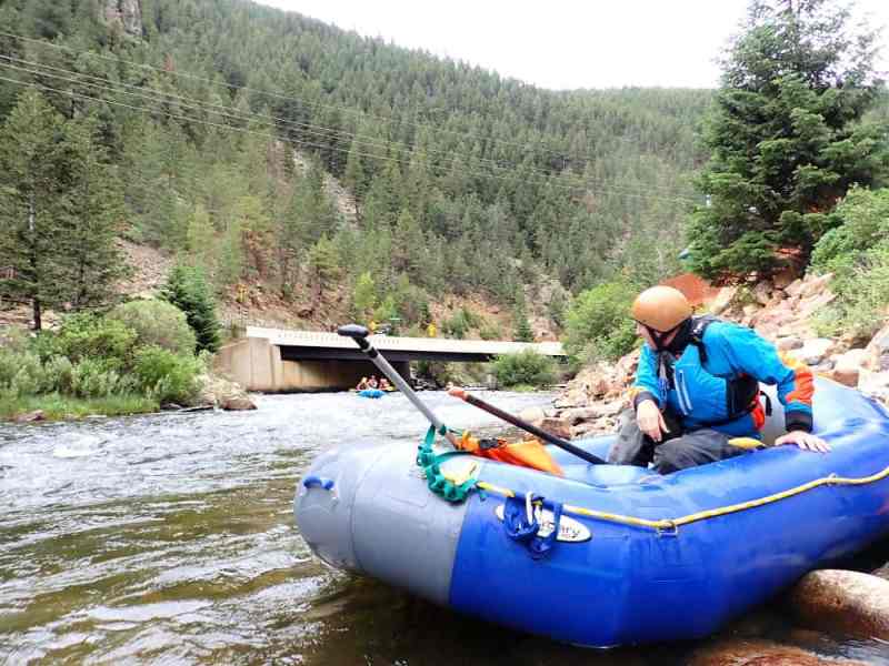
Photo courtesy of
American Whitewater
Description
The takeout. One of the worst fences is right under the bridge, class II with a complete lack of a good eddy above it.
Location
Radar
Counties
Coverage
Verizon
AT&T
T-Mobile
US Cellular
Dark
Satellite
Terrain
Other Rapids on This Run (6)
Waterfall
V+
Stampede!
0.0 mi
Waterfall
V+
Bucking Bronco
0.3 mi
Hazard
II
Class II
0.5 mi
Playspot
IV
Good Times
10.0 mi
Waterfall
V+
The Main Event
15.0 mi
Hazard
II
Class II
15.5 mi
Type
Hazard
Difficulty
Class II
Mile Marker
23.0 mi
Directions
Navigate
View Full Run
Tunnel outlet to Highway 34
Bluegrass Creek
II-V+
18.0 mi
Hazard
— Exercise extreme caution in this area.
Current Conditions
5-Day Forecast
Whitewater data from
American Whitewater
Highway 34