Take-out
SC
Highway 76 Take Out
Save this feature with the run it belongs to.
Gauge Conditions
Data from American Whitewater & USGS
Photo
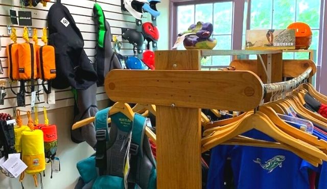
Photo courtesy of American Whitewater
Description
The Highway 76 Take Out marks the end of Section 3 on the Chattooga River, featuring a straightforward exit point with minimal technical challenges. Paddlers should be aware of potential shallow areas and potential boat traffic near the bridge, and ensure they carefully scout and navigate the take-out area to avoid strainers or unexpected obstacles during river egress.
Location
Interactive river map
Loads as you approach this section.
Other Rapids on This Run (19)
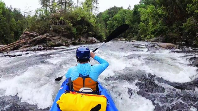 Rapid
N/A
Rapid
N/A
Earls Ford
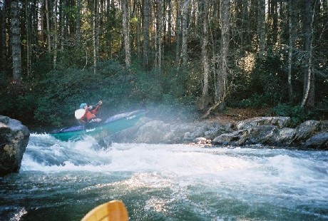 Rapid
II+
Rapid
II+
Warwoman Rapid
 Rapid
II
Rapid
II
First Island Rapid
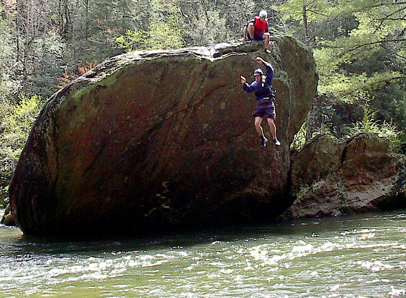 Rapid
II+
Rapid
II+
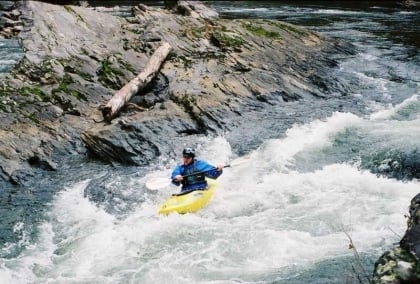
Rock Garden
 Rapid
III
Rapid
III
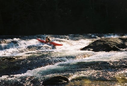
3 Rooster Tails
 Rapid
III+
Rapid
III+
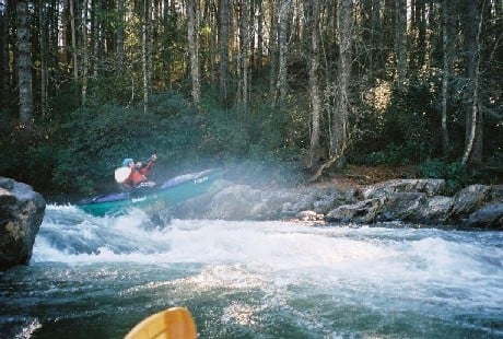
Dicks Creek Ledge
 Rapid
III
Rapid
III
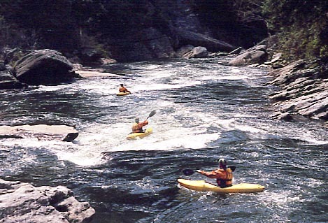
Sandy Ford Rapid
 Rapid
III
Rapid
III
Narrows - First Half
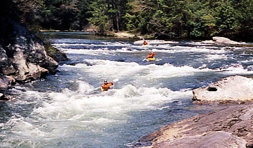 Rapid
III+
Rapid
III+
The Narrows - Second Half
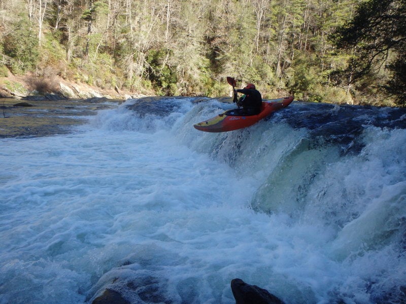 Rapid
III
Rapid
III
Second Ledge
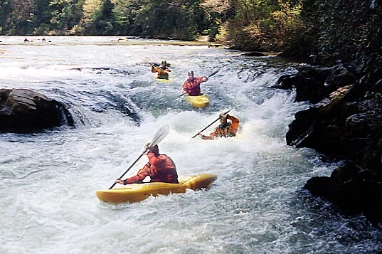 Rapid
III+
Rapid
III+
Eye of the Needle
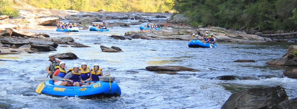 Rapid
Rapid
Fall Creek
 Rapid
III
Rapid
III
Rollercoaster
 Rapid
III+
Rapid
III+
Painted Rock
 Rapid
N/A
Rapid
N/A
Thrifts Ferry Access Parking
 Playspot
II+
Playspot
II+
Thrifts Ferry
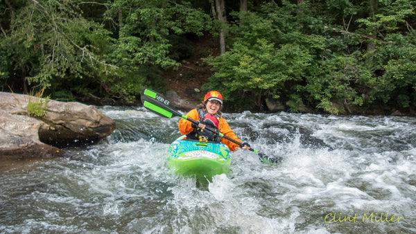 Rapid
II
Rapid
II
Kick n’ the butt
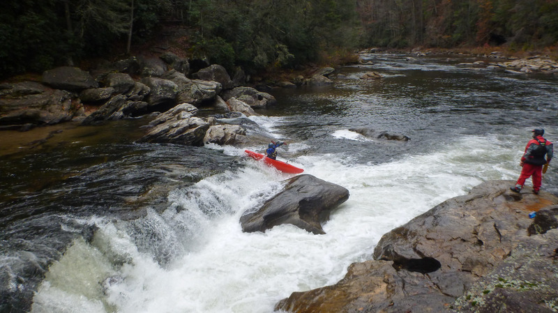 Rapid
IV
Rapid
IV
Bull Sluice
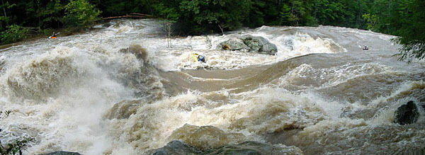 Rapid
Rapid
Bull Sluice (high water)
View Full Run
Section 3 - Earls Ford to Route 76 Bridge
Chattooga
II-III+(IV)
12.0 mi
Current Conditions
5-Day Forecast
Whitewater data from
American Whitewater
American Whitewater